Big Park
At a glance
Big Park is a moderate out-and-back hike in Colorado's Ouray Ranger District, part of the Grand Mesa, Uncompahgre and Gunnison National Forests. The trail runs about 5 miles, with a total elevation gain of 124 feet, from a low point of about 10,221 feet to a high of about 10,423 feet. The Forest Service manages the land, and the route is natural-surface, not accessible, and open year-round. Horses are allowed, but bikes are not. That makes it a trail for hikers and riders on horseback, with no room for mountain bikes. The climb is gentle, and the route is short enough to fit into a day. Big Blue Campground sits about 1.6 miles away, and Big Blue Creek, a canoeing spot, is about 1.4 miles off. Failes Creek is a nearby hike at about 1.5 miles, and Alpine Guard Station is about 2.1 miles away.
- round trip
- 5.2 mi
- climb
- 124 ft
- high point
- 10,423 ft
- route
- Out and back
Where it is: Ouray Ranger District · Grand Mesa, Uncompahgre and Gunnison National Forests
Near: Montrose
Been here? Tell people how it was.
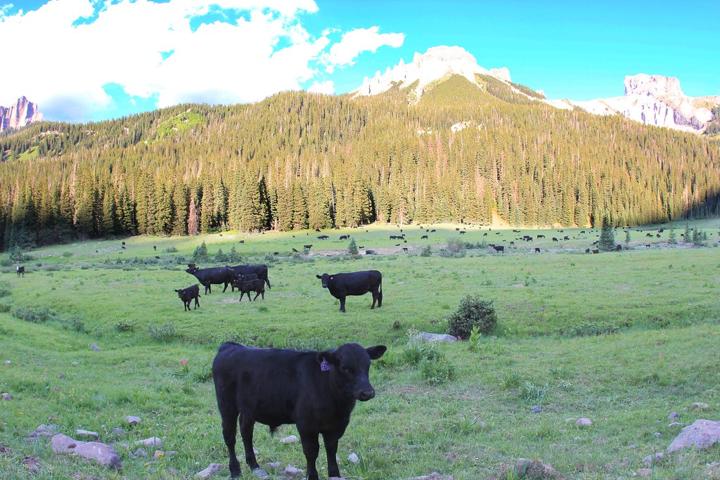 OWL CREEK PASS SNOHikingPhoto: daveynin, CC BY 2.0 (via Flickr)~15 min drive
 Big Blue CreekHikingPhoto: kalestews, CC BY 2.0 (via Flickr)~16 min drive
- Little Cimarron EastHiking~5 min drive
- FireboxHiking~5 min drive
- Alpine Trail 225Hiking~11 min drive
- OLD OWL CREEK SPUR BHikingPhoto: daveynin, CC BY 2.0 (via Flickr)~16 min drive
- SHEEP MOUNTAINHiking~7 min drive
- High MesaHiking~5 min drive
- Failes CreekHiking~2 min drive
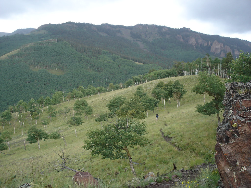 Independence BypassHikingPhoto: gregmote, CC BY 2.0 (via Flickr)~17 min drive
Conditions and forecast
Caution todayAgency alerts are in effect for this areaUSFS · checked 8 min agoDaily highs and lows, wind and the chance of precipitation at Start for the next 7 days, from the Open-Meteo model.
Ask about this place
Questions about Big Park: conditions, access, timing. Answers say when something isn't known.
Local outfitters
- Peak Mountain Guides19 mi away
- Grizzly RT RV Park21 mi away
Not on Roamze yet. Their page has how to reach them.
