Slide 1
At a glance
Slide 1 is an easy, out-and-back hike in Nevada's Humboldt-Toiyabe National Forest, within the Mountain City-Ruby Mountains-Jarbidge Ranger District. The route is about 1.8 miles long and gains about 218 feet, so it's a short walk to the top of a natural rise, with the high point at 8,806 feet and the low at 8,562 feet. The Forest Service manages the land, and the trail is on natural surface. Horses are allowed. The Slide Creek Trailhead is the parking for this hike, and it is open year-round. Slide Creek lies about 0.9 miles away, and the Biroth hike is about 2.4 miles off. For longer outings, the East Fork Jarbidge River and Gods Pocket Peak are each about 3.6 miles away.
- round trip
- 1.8 mi
- climb
- 218 ft
- high point
- 8,806 ft
- route
- Out and back
- time
- About 45 minutes
Where it is: Mountain City-Ruby Mountains-Jarbidge Ranger District · Humboldt-Toiyabe National Forest
Near: Jackpot
Been here? Tell people how it was.
 Slide CreekHikingPhoto: Matt Lavin, CC BY-SA 2.0 (via Flickr)0.9 mi
- BirothHiking2.4 mi
 East Fork Jarbidge RiverHikingPhoto: Matt Lavin, CC BY-SA 2.0 (via Flickr)3.6 mi
- Gods Pocket PeakHiking3.6 mi
- Upper Bluster CampgroundCamping9.5 mi
- Lower Bluster CampgroundCamping9.5 mi
- Jarbidge RiverRiver fishing9.6 mi
- Sawmill CampgroundCamping9.6 mi
- East Fork Jarbidge RiverHikingPhoto: Matt Lavin, CC BY-SA 2.0 (via Flickr)~6 min drive
 Altitude TrailHikingPhoto: Matt Lavin, CC BY-SA 2.0 (via Flickr)~12 min drive
- Slide CreekHikingPhoto: Matt Lavin, CC BY-SA 2.0 (via Flickr)~2 min drive
- Deadman 3 Spur BHiking~15 min drive
 Three Day CreekHikingPhoto: Matt Lavin, CC BY-SA 2.0 (via Flickr)~9 min drive
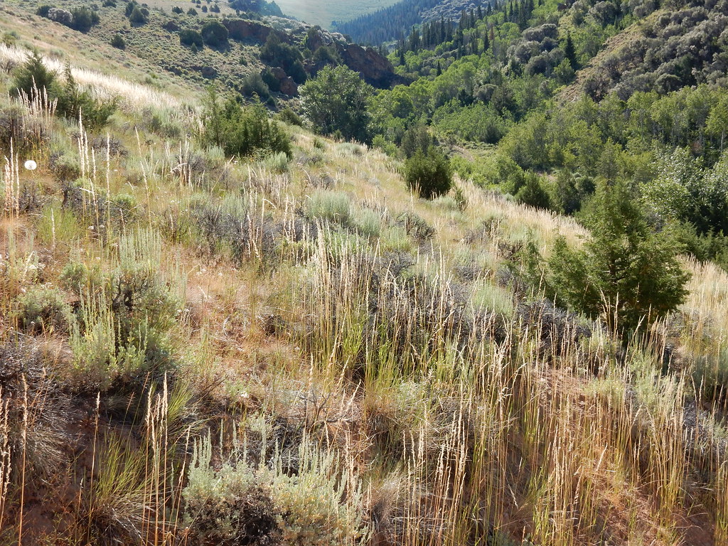 Jenny CreekHikingPhoto: Matt Lavin, CC BY-SA 2.0 (via Flickr)~16 min drive
 Jenny CreekHikingPhoto: Matt Lavin, CC BY-SA 2.0 (via Flickr)~14 min drive
- Cottonwood CreekHiking~15 min drive
- JennyHikingPhoto: Matt Lavin, CC BY-SA 2.0 (via Flickr)~15 min drive
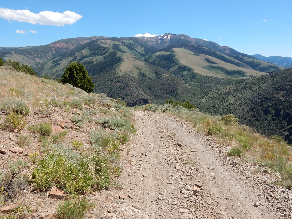 Clover TrailHikingPhoto: Matt Lavin, CC BY-SA 2.0 (via Flickr)~17 min drive
Conditions and forecast
Caution at last checkAgency alerts are in effect for this areaUSFS · checked 13 h agoDaily highs and lows, wind and the chance of precipitation at Start for the next 7 days, from the Open-Meteo model.

Ask about this place
Questions about Slide 1: conditions, access, timing. Answers say when something isn't known.
