Three Day Creek
 Photo: Matt Lavin, CC BY-SA 2.0 (via Flickr)
- 9.3 mi
- round trip
- 1,851 ft
- climb
- 8,281 ft
- high point
- Out and back
- route
Is Three Day Creek open right now?
Closure in the area
There's a closure order in Humboldt-Toiyabe National Forest. It doesn't name Three Day Creek, so check the source for the area it covers.
Elephant Fire Closure
Agency closure covering Humboldt-Toiyabe National Forest · Order 04-17-26-01-04 · USFS · Humboldt-Toiyabe National Forest
Road Closure for Construction Work (Mountain City-Ruby Mountains-Jarbidge Ranger Districts)
Agency alert covering Mountain City-Ruby Mountains-Jarbidge Ranger District · Order 04-17-26-06-04 · USFS · Mountain City-Ruby Mountains-Jarbidge Ranger District
Area, Road, and Trail Closures (Spring Mountains National Recreation Area)
Agency alert covering Humboldt-Toiyabe National Forest · Order 04-17-25-04 · USFS · Humboldt-Toiyabe National Forest
Year-Round Fire Restrictions (Spring Mountains National Recreation Area)
Agency alert covering Humboldt-Toiyabe National Forest · Order 04-17-24-01 · USFS · Humboldt-Toiyabe National Forest
Vehicle Snow Chain Requirements during Inclement Weather (Spring Mountains National Recreation Area)
Agency alert covering Humboldt-Toiyabe National Forest · Order 04-17-23-01 · USFS · Humboldt-Toiyabe National Forest
As of · Source: USFS · Humboldt-Toiyabe National Forest. Agencies don't list every closure — check before you go.
Three Day Creek is a hard hike in Nevada's Humboldt-Toiyabe National Forest, within the Mountain City-Ruby Mountains-Jarbidge Ranger District. The trail is an out-and-back that climbs from about 6,300 feet to about 8,280 feet, with a total elevation gain of 1,851 feet over a distance of about 9.3 miles. The Forest Service manages the land, and the route is natural-surfaced and open to horses. The trail is rated hard, and the climb is the main challenge. Horses are allowed, but bikes are not. The open season runs from June 15 to October 30, so plan for a trip in late spring through early fall. Several other hikes start close by, including Mill at about 1.4 miles and Altitude Trail and Fall Creek at about 1.5 miles. For an overnight base, Sawmill Campground is about 4.3 miles away.
- MillHiking1.4 mi
 Altitude TrailHikingPhoto: Matt Lavin, CC BY-SA 2.0 (via Flickr)1.5 mi
- Fall CreekHiking1.5 mi
- Sawmill CampgroundCamping4.3 mi
- Jarbidge RiverRiver fishing4.6 mi
- Pavlak CampgroundCamping5 mi
- Upper Bluster CampgroundCamping5.1 mi
- Buck CreekCanoeing7.1 mi
Source: Roamze catalog (indexable pages within 10 miles, PostGIS distance)
 East Fork Jarbidge RiverHiking · ~3 min drivePhoto: Matt Lavin, CC BY-SA 2.0 (via Flickr)
 Jenny CreekHiking · ~5 min drivePhoto: Matt Lavin, CC BY-SA 2.0 (via Flickr)
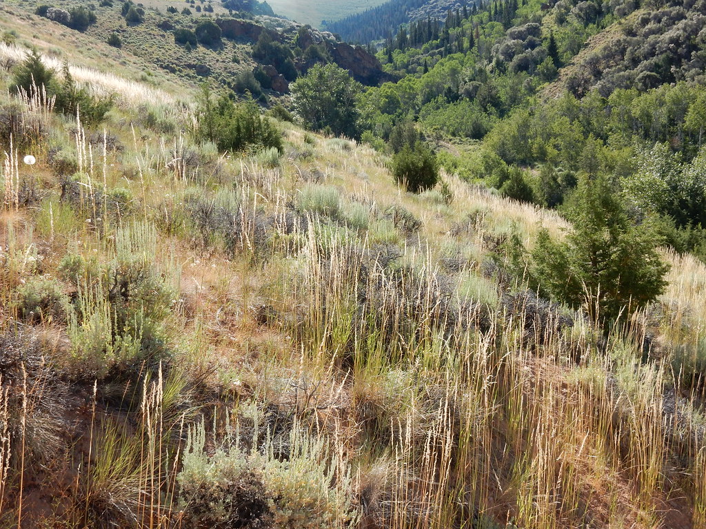 Jenny CreekHiking · ~7 min drivePhoto: Matt Lavin, CC BY-SA 2.0 (via Flickr)
- MillHiking · ~2 min drive
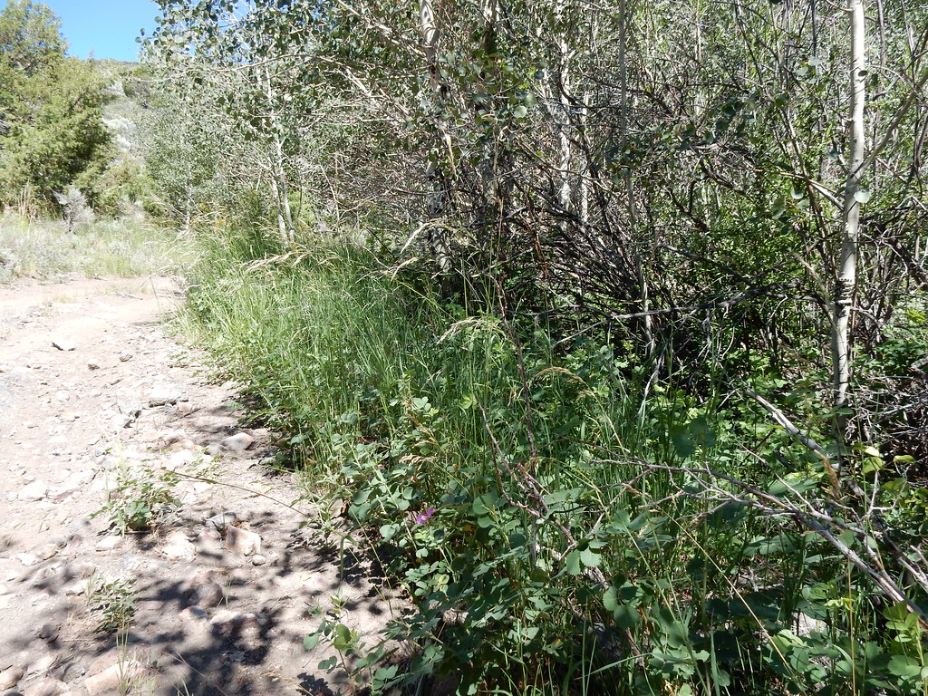 Jack CreekHiking · ~6 min drivePhoto: Matt Lavin, CC BY-SA 2.0 (via Flickr)
 Slide CreekHiking · ~9 min drivePhoto: Matt Lavin, CC BY-SA 2.0 (via Flickr)
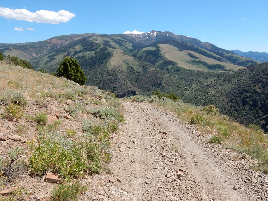 Clover TrailHiking · ~7 min drivePhoto: Matt Lavin, CC BY-SA 2.0 (via Flickr)
- Jack 5Hiking · ~5 min drive
 West Marys River to Camp DrawHiking · ~18 min drivePhoto: simonov, CC BY-SA 2.0 (via Flickr)
- West Marys River - Camp Draw TrailHiking · ~14 min drive

