
Potato Patch Campground
Campground
1.1 mi from the trail
Powerline is a 3.9-mile out-and-back hike in the Verde Ranger District of Prescott National Forest in Arizona, managed by the Forest Service. The trail rises from about 6,611 feet to about 7,008 feet, a climb of 418 feet, and is rated moderate. The route is natural-surfaced and open to both horses and bikes, so it works for riders and equestrians as well as hikers. It is a year-round trail, and the surrounding area offers plenty to pair with the climb. The Powerline Trail #549 mountain biking route lies about half a mile away, and the Bug Hollow and Mescal mountain biking trails are each within a quarter mile. For an overnight stay, Potato Patch Campground is about a mile off, and Roadside Crag, a climbing area, is roughly 2 miles away.
Where it is: Verde Ranger District · Prescott National Forest
Near: Clarkdale
Been here? Tell people how it was.
 MescalMountain bikingPhoto: Johnwayne Stroud, CC BY-SA 3.0 (via Wikimedia Commons)0.2 miPowerline Trail #549Mountain bikingPhoto: Johnwayne Stroud, CC BY-SA 3.0 (via Wikimedia Commons)0.5 mi
 Roadside CragRock climbingPhoto: Vineet Potdar, CC BY-SA 3.0 (via Wikimedia Commons)1.9 mi
 MescalHikingPhoto: vaxomatic, CC BY 2.0 (via Flickr)Next door
 Yeager CanyonHikingPhoto: vaxomatic, CC BY 2.0 (via Flickr)~4 min drive
 SOB CANYONHikingPhoto: Chris English, CC BY-SA 3.0 (via Wikimedia Commons)~12 min driveUpper MescalHikingPhoto: vaxomatic, CC BY 2.0 (via Flickr)~1 min drive
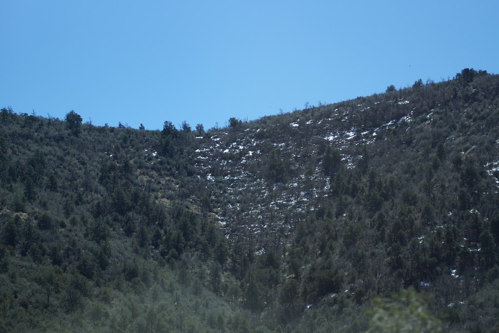 Little Yeager CanyonHikingPhoto: vaxomatic, CC BY 2.0 (via Flickr)~6 min drive
 Upper MescalHikingPhoto: Nate Loper • #ArizonaGuide ️, CC BY 2.0 (via Flickr)~2 min driveYeager MineHikingPhoto: vaxomatic, CC BY 2.0 (via Flickr)~8 min drive
Daily highs and lows, wind and the chance of precipitation at Start for the next 7 days, from the Open-Meteo model.
Questions about Powerline: conditions, access, timing. Answers say when something isn't known.
Potato Patch Campground
Campground
 If it rainsDoncram, CC BY-SA 3.0 · Wikimedia Commons
An open-air museum located in Prescott, Arizona
Places © OpenStreetMap contributors · Photos: Doncram, CC BY-SA 3.0 (commons)
More in PrescottNot on Roamze yet. Their page has how to reach them.
