Potato Patch Campground
Campground
Campground · 2.5 mi from the trail
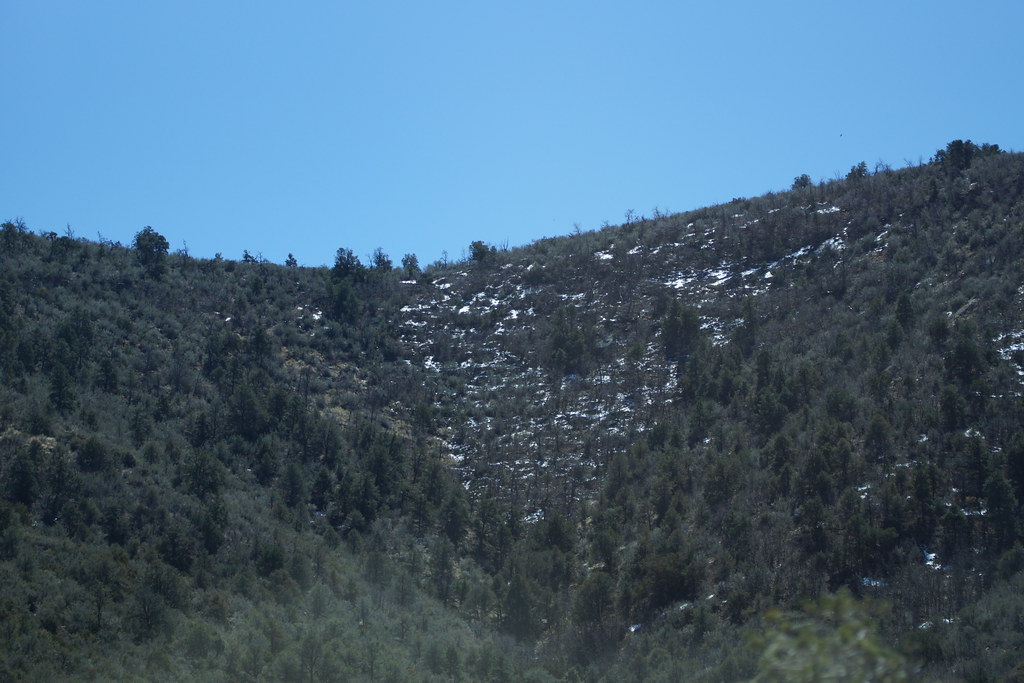 Photo: vaxomatic, CC BY 2.0 (via Flickr)
Closure in the area
There's a closure order in Prescott National Forest. It doesn't name Little Yeager Canyon, so check the source for the area it covers.
NFS Road 354 Closure Order #03-07-26-02
Agency closure covering Prescott National Forest · Order 03-07-26-02 · USFS · Prescott National Forest
As of · Source: USFS · Prescott National Forest. Agencies don't list every closure — check before you go.
Little Yeager Canyon is a moderate out-and-back hike in the Verde Ranger District of Prescott National Forest in Arizona, about 3.7 miles long with a one-way elevation gain of 924 feet. The trail rises from a low point of about 5,984 feet to a high of about 6,923 feet, and it is open year-round. The route is on natural surface, and it is open to both horses and bikes, so riders and equestrians can plan on using it as a multi-purpose trail. Nearby, the Little Yeager Canyon Trail #533 mountain biking route lies about 0.4 miles away, and the Yeager Canyon mountain biking route is about 0.8 miles off. The Yeager Mine hike is about a mile away, and Potato Patch Campground is about 2.5 miles away for anyone planning an overnight stay.
Potato Patch Campground
Campground
 If it rainsDoncram, CC BY-SA 3.0 · Wikimedia Commons
An open-air museum located in Prescott, Arizona
Places © OpenStreetMap contributors · Photos: Doncram, CC BY-SA 3.0 (commons)
More in PrescottNot on Roamze yet. Their page has how to reach them.
Yeager MineHikingPhoto: vaxomatic, CC BY 2.0 (via Flickr)1 mi Roadside CragRock climbingPhoto: Vineet Potdar, CC BY-SA 3.0 (via Wikimedia Commons)1.7 mi
Source: Roamze catalog (indexable pages within 10 miles, PostGIS distance)
Yeager MineHiking · ~2 min drivePhoto: vaxomatic, CC BY 2.0 (via Flickr) Mingus ViewHiking · ~4 min drivePhoto: Nate Loper • #ArizonaGuide ️, CC BY 2.0 (via Flickr)
 Yeager CanyonHiking · ~3 min drivePhoto: vaxomatic, CC BY 2.0 (via Flickr)Upper MescalHiking · ~4 min drivePhoto: Nate Loper • #ArizonaGuide ️, CC BY 2.0 (via Flickr)ButterflyHiking · ~5 min drivePhoto: Nate Loper • #ArizonaGuide ️, CC BY 2.0 (via Flickr)Upper MescalHiking · ~5 min drivePhoto: vaxomatic, CC BY 2.0 (via Flickr)
Also worth it near here

