Sucker Creek Tie
At a glance
Sucker Creek Tie is a 3.6-mile out-and-back hike in the Red Buttes Wilderness, part of the Wild Rivers Ranger District of the Rogue River-Siskiyou National Forests in southern Oregon. The trail climbs from about 3,930 feet to a high point of 4,486 feet, with a total elevation gain of 1,689 feet for the round trip. The Forest Service manages the land, and the route is natural-surface, not accessible, and allows horses but not bikes. Summer is the most comfortable time to go. Typical averages from a nearby weather station at Sexton Summit show July and August highs around 77°F with only about two wet days a month, while winter months bring highs in the low 40s and rain on roughly half the days. The trip takes about two hours. The Boundary Trail and Fehley Gulch both lie within a mile, and Bolan Lake Campground is about 4.8 miles away.
- round trip
- 3.6 mi
- climb
- 1,689 ft
- high point
- 4,486 ft
- route
- Out and back
- time
- About 1.5 hours
- best months
- May–Oct
Where it is: Red Buttes Wilderness · Wild Rivers Ranger District
Near: Grants Pass
Best time to visit Sucker Creek Tie
Best months: May–October. Best months have typical highs of 55–85 °F, lows of 30 °F or warmer (32 °F where the station doesn't record snow), at most one snowy day and no more than 12 wet days.
Jan
43°
33°
16 wet
Feb
44°
33°
15 wet
Mar
46°
33°
16 wet
Apr
52°
35°
14 wet
May
61°
41°
10 wet
Jun
68°
46°
6 wet
Jul
77°
53°
2 wet
Aug
77°
54°
2 wet
Sep
70°
51°
4 wet
Oct
58°
43°
9 wet
Nov
47°
36°
15 wet
Dec
41°
32°
16 wet
Typical high / low (°F) and days with rain or snow, 1991–2020. Measured at Sexton Summit, OR, 40.4 mi away at 3,832 ft. The station sits about 700 ft lower than this place, so expect it a little cooler here. This station doesn't record snowfall. Source: NOAA NCEI U.S. Climate Normals 1991–2020.
Closures we've recorded since August 2026
Stage 2 Public Use Fire Restrictions (Forest-wide)
Rogue River-Siskiyou National Forests · Order dated September 4, 2026; seen Sep 3, 2026 → lifted Oct 28, 2026 · Forest Service
Stage 3 Public Use Fire Restrictions (Forest-wide)
Rogue River-Siskiyou National Forests · Order dated July 17, 2026; seen Aug 23, 2026 → lifted Sep 3, 2026 · Forest Service
Been here? Tell people how it was.
 Kings SaddleHikingPhoto: Forest Service Pacific Northwest Region, Public Domain Mark (via Flickr)~7 min drive
 Mountain View Mine TrailHikingPhoto: Curt Kline, CC BY 3.0 (via Wikimedia Commons)~15 min drive
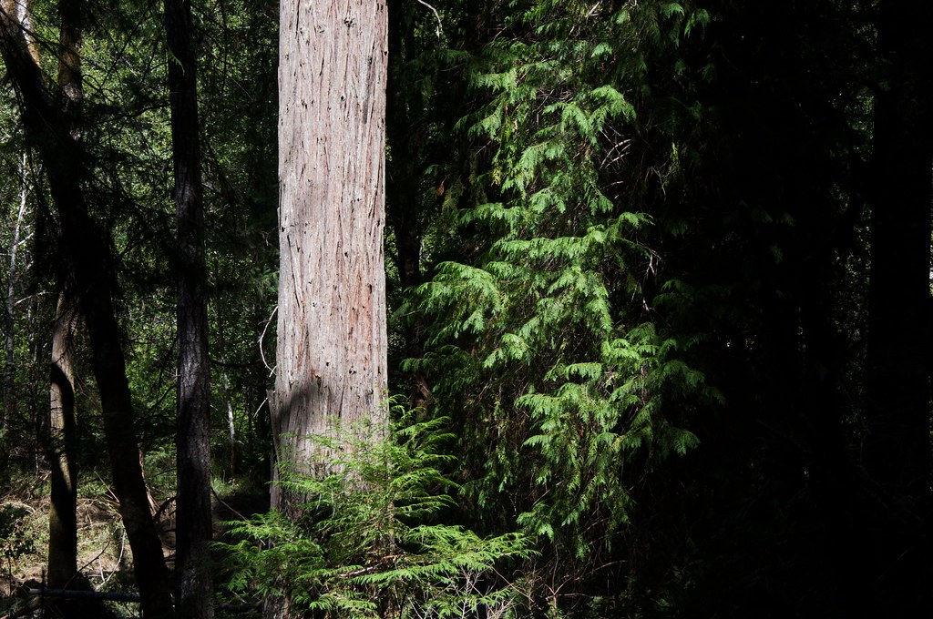 Grayback InterpretativeHikingPhoto: Sam Beebe, CC BY 2.0 (via Flickr)~17 min drive
- Boundary TrailHiking~2 min drive
 No Name TrailHikingPhoto: James Wellington, CC BY 2.0 (via Flickr)~10 min drive
 Da-Ku-Be-Te-DeHikingPhoto: n.p.young, CC BY 3.0 (via Wikimedia Commons)~18 min drive
- Cliff Nature TrailHikingPhoto: James Wellington, CC BY 2.0 (via Flickr)~11 min drive
- Big Tree TrailHiking~10 min drive
- Fehley GulchHiking~2 min drive
- Bolan LakeHikingPhoto: Forest Service Pacific Northwest Region, Public Domain Mark (via Flickr)~8 min drive
Conditions and forecast
Caution at last checkAgency alerts are in effect for this areaUSFS · checked 12 h agoDaily highs and lows, wind and the chance of precipitation at Start for the next 7 days, from the Open-Meteo model.
Ask about this place
Questions about Sucker Creek Tie: conditions, access, timing. Answers say when something isn't known.
Local outfitters
- Applegate Trail Rides15 mi away
- Huntfluent Guide Service29 mi away
Not on Roamze yet. Their page has how to reach them.
