Bolan Lake
 Photo: Forest Service Pacific Northwest Region, Public Domain Mark (via Flickr)
- 1.7 mi
- round trip
- 1,788 ft
- climb
- 6,131 ft
- high point
- Out and back
- route
Is Bolan Lake open right now?
Closure in the area
There's a closure order in Wild Rivers Ranger District. It doesn't name Bolan Lake, so check the source for the area it covers.
Illinois Falls Trail Bridge Closure
Agency closure covering Wild Rivers Ranger District · Order 06-10-22-25-02 · USFS · Wild Rivers Ranger District
Illinois River Road Seasonal Restrictions
Agency alert covering Wild Rivers Ranger District · Order 06-10-22-26-01 · USFS · Wild Rivers Ranger District
As of · Source: USFS · Wild Rivers Ranger District. Agencies don't list every closure — check before you go.
Bolan Lake is an easy hike of about 1.7 miles in the Wild Rivers Ranger District of the Rogue River-Siskiyou National Forests in southern Oregon. The trail is an out-and-back that climbs about 722 feet one way, with the total round-trip gain reaching about 1,788 feet. The steepest stretch comes early, around 0.29 miles in, with a grade of about 19 percent. The trail is natural-surface and allows both horses and bikes. It is not an accessible route, according to the Forest Service's accessibility status. Bolan Mountain Lookout sits just 0.1 mile away, and Bolan Lake Campground is about 0.4 mile off. Kings Saddle is about half a mile away, and Tanner Lake is roughly 2.3 miles out.
Local outfitters
- Applegate Trail Rides17 mi away
- Huntfluent Guide Service30 mi away
Not on Roamze yet. Their page has how to reach them.
Keep exploring — more trails worth the drive
Photo: Forest Service Pacific Northwest Region, Public Domain Mark (via Flickr)Kings Saddle
Next door
3.00-mile out-and-back trail in Oregon with 334 ft gain and 664 ft loss.
 Photo: James Wellington, CC BY 2.0 (via Flickr)
Cliff Nature Trail
~10 min drive
0.49-mile loop with 494 ft gain in Oregon.
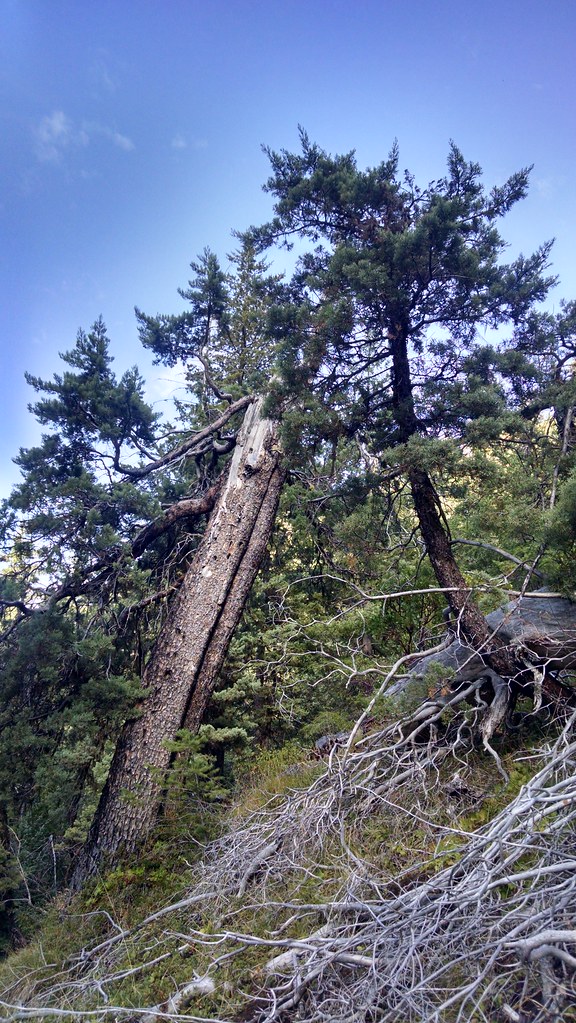 Photo: theforestprimeval, CC BY-SA 2.0 (via Flickr)
Miller Lake
~15 min drive
1.40-mile out-and-back trail to Miller Lake in Oregon with 1,970 ft gain.
HIKE
Boundary Trail
~10 min drive
Boundary Trail is a 15.23-mile out-and-back trail in Oregon.
Photo: James Wellington, CC BY 2.0 (via Flickr)No Name Trail
~10 min drive
1.48-mile out-and-back hike in Oregon with 1,342 ft elevation gain
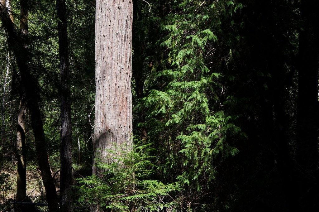 Photo: Sam Beebe, CC BY 2.0 (via Flickr)
Grayback Interpretative
~15 min drive
1.82-mile loop trail in Oregon with 137 ft elevation gain.
HIKE
Fir Glade Trail
~13 min drive
6.82-mile out-and-back hike in California with 2,873 ft elevation gain/loss
HIKE
Big Tree Trail
~10 min drive
3.37-mile out-and-back trail in Oregon with 899 ft gain.
HIKE
Tanner Lake
~4 min drive
5.70-mile out-and-back trail to Tanner Lake in Oregon with 1,385 ft gain.
HIKE
Limestone Trail
~9 min drive
0.80-mile out-and-back hike with 525 ft gain in Oregon limestone terrain.
