West Baldy
 Photo: Clay Gilliland, CC BY-SA 2.0 (via Flickr)
At a glance
West Baldy is a hard hike in the Mount Baldy Wilderness, part of the Springerville Ranger District of the Apache-Sitgreaves National Forests in eastern Arizona. The Forest Service manages the land, and the trail is a natural-surface out-and-back that climbs from about 9,225 feet to about 11,193 feet, with a total elevation gain of 1,737 feet over roughly 16 miles. The route is not accessible, and bikes are not allowed. The trail lies entirely within designated wilderness, so plan for a backcountry experience. Mt Baldy Crossover starts just 0.2 miles away, and West Fork (Lc) is about 1.2 miles off. For an overnight base, Winn campground sits about 1.9 miles away, and Rolfe C. Hoyer Campground is about 6.3 miles away.
- round trip
- 16.0 mi
- climb
- 1,737 ft
- high point
- 11,193 ft
- route
- Out and back
- time
- About 6 hours
Where it is: Mount Baldy Wilderness · Springerville Ranger District
Near: Greer
Been here? Tell people how it was.
- Mt Baldy CrossoverHikingPhoto: Clay Gilliland, CC BY-SA 2.0 (via Flickr)0.2 mi
 West Fork (Lc)HikingPhoto: Clay Gilliland, CC BY-SA 2.0 (via Flickr)1.2 mi
 Lee Valley Reservoir TrailHikingPhoto: Greggens, CC BY-SA 4.0 (via Wikimedia Commons)1.5 mi
- Railroad GradeMountain biking1.6 mi
- WinnCamping1.9 mi
- Rolfe C. Hoyer CgCamping6.3 mi
- HoyerCamping6.7 mi
- Benny CreekCamping7.1 mi
- Mt Baldy CrossoverHikingPhoto: Clay Gilliland, CC BY-SA 2.0 (via Flickr)Next door
- East BaldyHikingPhoto: Greggens, CC BY-SA 4.0 (via Wikimedia Commons)~4 min drive
 Big Lake LookoutHikingPhoto: USDAgov, Public Domain Mark (via Flickr)~16 min drive
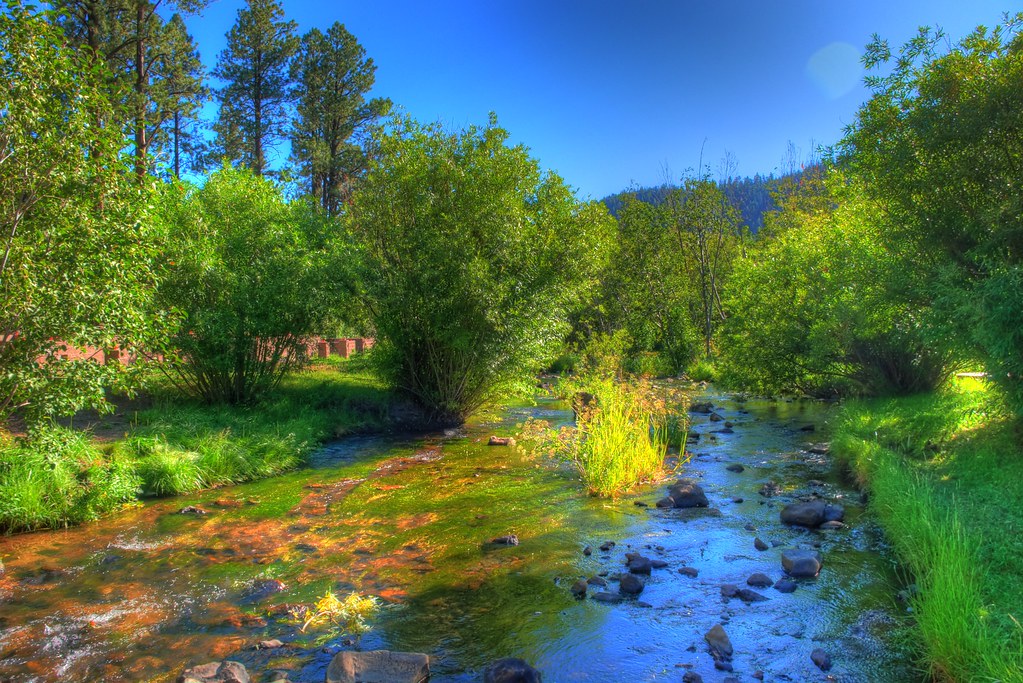 East ForkHikingPhoto: neepster, CC BY-SA 2.0 (via Flickr)~7 min drive
 PinyonHikingPhoto: WaterArchives.org from Sacramento, California, USA, CC BY-SA 2.0 (via Wikimedia Commons)~11 min drive
 South ForkHikingPhoto: Clay Gilliland, CC BY-SA 2.0 (via Flickr)~18 min drive
- Indian SpringsHikingPhoto: USDAgov, Public Domain Mark (via Flickr)~15 min drive
- Apache VistaHikingPhoto: Clay Gilliland, CC BY-SA 2.0 (via Flickr)~19 min drive
- Overland ConnectorHikingPhoto: Clay Gilliland, CC BY-SA 2.0 (via Flickr)~20 min drive
- Pack Trail?Hiking~8 min drive
Conditions and forecast
Caution todayAgency alerts are in effect for this areaUSFS · checked 14 min agoDaily highs and lows, wind and the chance of precipitation at Start for the next 7 days, from the Open-Meteo model.
Ask about this place
Questions about West Baldy: conditions, access, timing. Answers say when something isn't known.
Local outfitters
- Alpine Village RV Park23 mi away
Not on Roamze yet. Their page has how to reach them.
