Camp Creek National Recreation - California
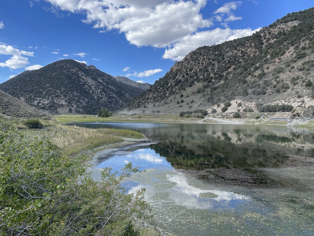 Photo: Seth Tisue, CC BY-SA 2.0 (via Flickr)
At a glance
This extensive point-to-point trail stretches over 222 miles across Nevada's diverse terrain, offering backpackers and long-distance hikers an ambitious multi-day adventure through varied landscapes. The route traverses remote high desert and mountain environments, presenting a challenging expedition that demands careful planning, navigation, and self-sufficiency. This is a serious undertaking best suited for experienced wilderness travelers prepared for extended backcountry conditions.
- one way
- 222 mi
- high point
- 10,472 ft
- route
- Point to point
- difficulty
- Hard
Near: Austin
Been here? Tell people how it was.
 Toiyabe Crest TrailHikingPhoto: Seth Tisue, CC BY-SA 2.0 (via Flickr)~9 min drive
 Bob Scott SlideHikingPhoto: Ken Lund, CC BY-SA 2.0 (via Flickr)~29 min drive
 Pony Canyon DownhillHikingPhoto: Ken Lund, CC BY-SA 2.0 (via Flickr)~28 min drive
- TOIYABE CREST NATL REC TRAILHiking~39 min drive
 Pony Express LoopHikingPhoto: Matt Lavin, CC BY-SA 2.0 (via Flickr)~30 min drive
 Cahill Canyon RunHikingPhoto: Ken Lund, CC BY-SA 2.0 (via Flickr)~30 min drive
- Basin CanyonHiking~4 min drive
- South Fork Barrett Canyon TrailHiking~40 min drive
- Kingston CreekHiking~6 min drive
 Gold Venture LoopHikingPhoto: Seth Tisue, CC BY-SA 2.0 (via Flickr)~28 min drive
Conditions and forecast
Daily highs and lows, wind and the chance of precipitation at Start for the next 7 days, from the Open-Meteo model.
Ask about this place
Questions about Camp Creek National Recreation - California: conditions, access, timing. Answers say when something isn't known.
