Basin Canyon
At a glance
Basin Canyon is a 3.6-mile out-and-back hike in the Austin-Tonopah Ranger District of the Humboldt-Toiyabe National Forest in Nevada. The trail rises from about 7,742 feet to roughly 9,068 feet, a climb of 1,319 feet, and is rated moderate. The route is on natural surface, and the Forest Service allows both bikes and horses. It is open year-round, so there is no off-season to wait for. The canyon makes an easy pairing with other trails in the district. Sawmill Canyon is less than a mile away, and Kingston Creek and Deer Canyon West are both within about 2 miles. For an overnight stay, Kingston Campground sits about 4 miles from the trail.
- round trip
- 3.6 mi
- climb
- 1,319 ft
- high point
- 9,068 ft
- route
- Out and back
- time
- About 2 hours
Where it is: Austin-Tonopah Ranger District · Humboldt-Toiyabe National Forest
Near: Austin
Been here? Tell people how it was.
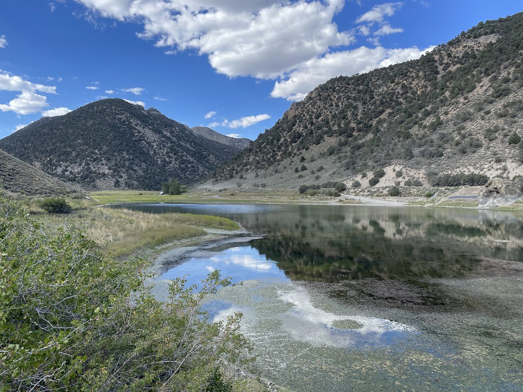 Camp Creek National Recreation - CaliforniaHikingPhoto: Seth Tisue, CC BY-SA 2.0 (via Flickr)~4 min drive
 Toiyabe Crest TrailHikingPhoto: Seth Tisue, CC BY-SA 2.0 (via Flickr)~14 min drive
 Pony Canyon DownhillHikingPhoto: Ken Lund, CC BY-SA 2.0 (via Flickr)~24 min drive
- South Fork Barrett Canyon TrailHiking~43 min drive
 Cahill Canyon RunHikingPhoto: Ken Lund, CC BY-SA 2.0 (via Flickr)~26 min drive
 Pony Express LoopHikingPhoto: Matt Lavin, CC BY-SA 2.0 (via Flickr)~26 min drive
- TANK CANYONHiking~16 min drive
- TOIYABE CREST NATL REC TRAILHiking~43 min drive
 Gold Venture LoopHikingPhoto: Seth Tisue, CC BY-SA 2.0 (via Flickr)~24 min drive
- Kingston CreekHiking~2 min drive
Conditions and forecast
Caution todayAgency alerts are in effect for this areaUSFS · checked 22 min agoDaily highs and lows, wind and the chance of precipitation at Start for the next 7 days, from the Open-Meteo model.
Ask about this place
Questions about Basin Canyon: conditions, access, timing. Answers say when something isn't known.
