Deer Canyon West
- 1.3 mi
- round trip
- 2,904 ft
- climb
- 9,175 ft
- high point
- Out and back
- route
Is DEER CANYON WEST open right now?
Closure in the area
There's a closure order in Humboldt-Toiyabe National Forest. It doesn't name DEER CANYON WEST, so check the source for the area it covers.
Elephant Fire Closure
Agency closure covering Humboldt-Toiyabe National Forest · Order 04-17-26-01-04 · USFS · Humboldt-Toiyabe National Forest
Area, Road, and Trail Closures (Spring Mountains National Recreation Area)
Agency alert covering Humboldt-Toiyabe National Forest · Order 04-17-25-04 · USFS · Humboldt-Toiyabe National Forest
Year-Round Fire Restrictions (Spring Mountains National Recreation Area)
Agency alert covering Humboldt-Toiyabe National Forest · Order 04-17-24-01 · USFS · Humboldt-Toiyabe National Forest
Vehicle Snow Chain Requirements during Inclement Weather (Spring Mountains National Recreation Area)
Agency alert covering Humboldt-Toiyabe National Forest · Order 04-17-23-01 · USFS · Humboldt-Toiyabe National Forest
Rainbow Canyon Flood Diversion Structure Closure (Spring Mountains National Recreation Area)
Agency alert covering Humboldt-Toiyabe National Forest · Order 04-17-15-01 · USFS · Humboldt-Toiyabe National Forest
As of · Source: USFS · Humboldt-Toiyabe National Forest. Agencies don't list every closure — check before you go.
Deer Canyon West is a hard hike in Nevada's Humboldt-Toiyabe National Forest, within the Austin-Tonopah Ranger District. The route is an out-and-back of about 2.6 miles, with a total elevation gain of 2,904 feet. The climb starts at roughly 8,685 feet and reaches a high point of 9,175 feet, so the round trip involves about 2,900 feet of ascent and descent. The Forest Service manages the land, and the hike is rated hard. Plan on about 2.5 hours for the trip. The nearest town is Tonopah, and the trailhead sits within the ranger district's boundaries. Several other hikes lie close by. Kingston Creek is about 0.7 miles away, and Sawmill Canyon and Basin Canyon are each within about 2 miles. For an overnight stay, Big Creek Campground is about 3.8 miles off.
- Kingston CreekHiking0.7 mi
- Sawmill CanyonHiking1.3 mi
- Basin CanyonHiking1.7 mi
- Big Creek CampgroundCamping3.8 mi
- Ruby Crest National Recreation - NevadaHiking3.9 mi
- Kingston CampgroundCamping5 mi
- Spanish CanyonHiking6.9 mi
- Crest Cut-OffHiking7 mi
Source: Roamze catalog (indexable pages within 10 miles, PostGIS distance)
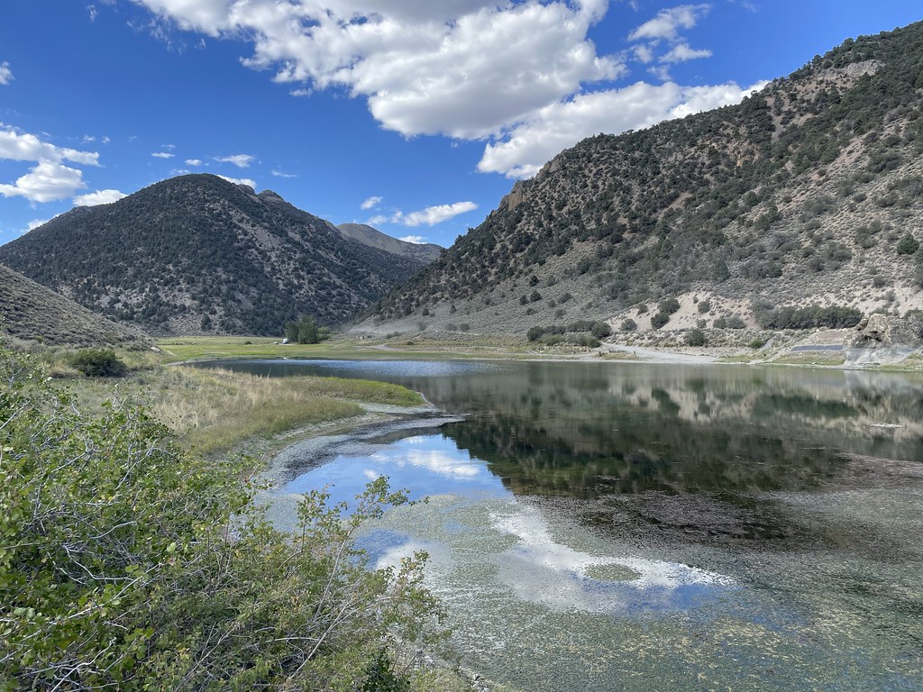 Camp Creek National Recreation - CaliforniaHiking · ~7 min drivePhoto: Seth Tisue, CC BY-SA 2.0 (via Flickr)
 Toiyabe Crest TrailHiking · ~15 min drivePhoto: Seth Tisue, CC BY-SA 2.0 (via Flickr)
 Pony Canyon DownhillHiking · ~22 min drivePhoto: Ken Lund, CC BY-SA 2.0 (via Flickr)
- TOIYABE CREST NATL REC TRAILHiking · ~45 min drive
 Gold Venture LoopHiking · ~22 min drivePhoto: Seth Tisue, CC BY-SA 2.0 (via Flickr)
 Pony Express LoopHiking · ~24 min drivePhoto: Matt Lavin, CC BY-SA 2.0 (via Flickr)
- Basin CanyonHiking · ~3 min drive
- South Fork Barrett Canyon TrailHiking · ~45 min drive
 Cahill Canyon RunHiking · ~24 min drivePhoto: Ken Lund, CC BY-SA 2.0 (via Flickr)
- Kingston CreekHiking · ~1 min drive
