Juanita Lake Trail
At a glance
Juanita Lake Trail is an easy, paved loop in California's Klamath National Forest, within the Goosenest Ranger District. The trail is about 1.7 miles long and gains no elevation, so it works well as a short outing or a warm-up before a longer trip in the area. The Forest Service manages the land, and the route is accessible. Spring and fall are the most comfortable times to visit. Typical averages from a nearby weather station in Keno, Oregon, show May highs around 68°F and October highs around 64°F, while July and August climb into the mid-80s. The Juanita Lake Group Campsite and Muskgrave Creek are both about 0.2 miles away. Juanita Lake North and Long Loop are within about 2 miles.
- loop
- 1.7 mi
- high point
- 5,125 ft
- route
- Loop
- difficulty
- Easy
- best months
- May–Jun, Sep
Where it is: Goosenest Ranger District · Klamath National Forest
Near: Yreka
Best time to visit Juanita Lake Trail
Best months: May–June and September. Best months have typical highs of 55–85 °F, lows of 30 °F or warmer (32 °F where the station doesn't record snow), at most one snowy day and no more than 12 wet days.
Jan
41°
21°
12 wet
Feb
46°
23°
10 wet
Mar
52°
26°
11 wet
Apr
58°
30°
10 wet
May
68°
37°
8 wet
Jun
77°
43°
5 wet
Jul
88°
49°
3 wet
Aug
87°
47°
2 wet
Sep
79°
39°
3 wet
Oct
64°
31°
6 wet
Nov
49°
25°
10 wet
Dec
40°
21°
12 wet
Typical high / low (°F) and days with rain or snow, 1991–2020. Measured at Keno, OR, 22.3 mi away at 4,128 ft. The station sits about 1,000 ft lower than this place, so expect it a little cooler here. This station doesn't record snowfall. Source: NOAA NCEI U.S. Climate Normals 1991–2020.
Been here? Tell people how it was.
- MUSKGRAVE CREEKHiking0.2 mi
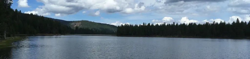 Juanita Lake Group CampsiteCampingPhoto: Recreation.gov (RIDB) / public domain0.2 mi
- JUANITA LAKE NORTHHiking1.6 mi
- LONG LOOPHiking2 mi
- JUANITA LAKE SOUTHHiking2.3 mi
- Burnt Camp TrailHiking3.9 mi
- Martins Dairy CgCamping4.3 mi
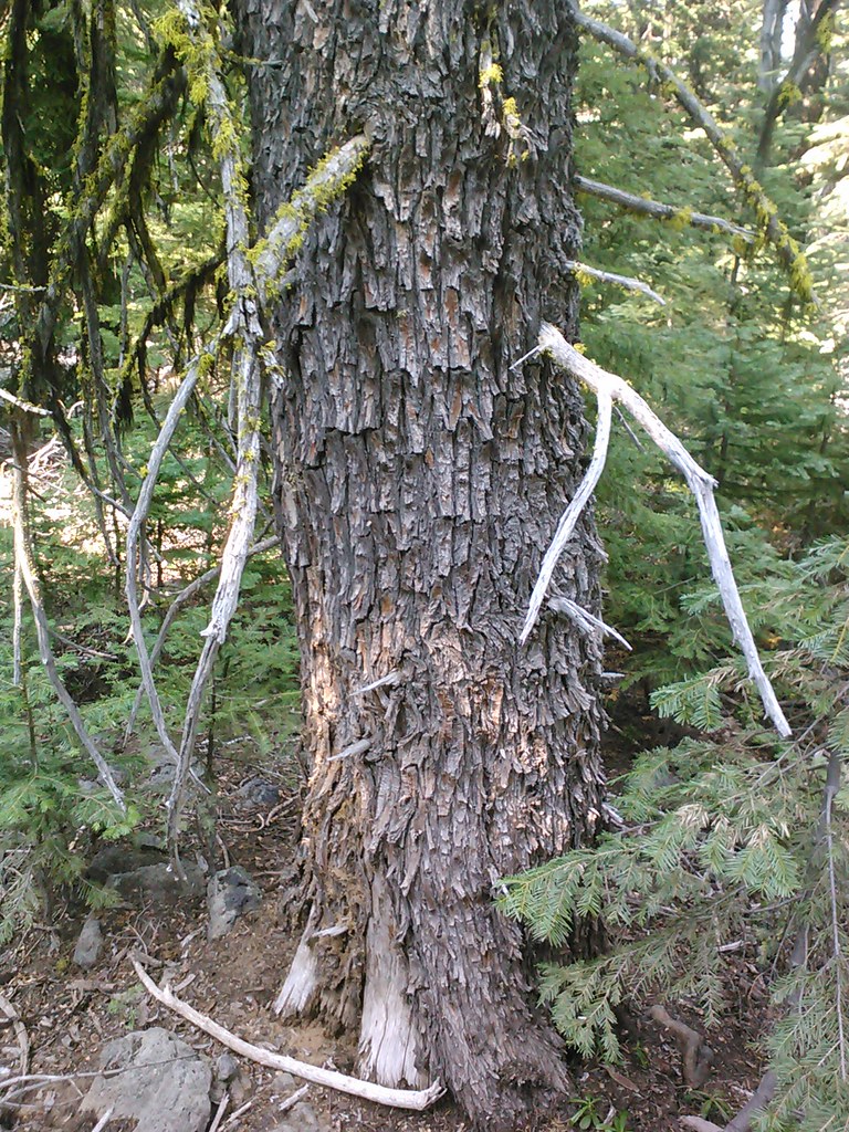 Goosenest TrailHikingPhoto: theforestprimeval, CC BY-SA 2.0 (via Flickr)6.9 mi
- Goosenest TrailHikingPhoto: theforestprimeval, CC BY-SA 2.0 (via Flickr)~12 min drive
 Goosenest TrailHikingPhoto: theforestprimeval, CC BY-SA 2.0 (via Flickr)~14 min drive
- Goosenest (from quarry) TrailHikingPhoto: theforestprimeval, CC BY-SA 2.0 (via Flickr)~15 min drive
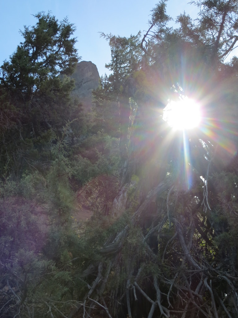 Pct - Oregon Section BHikingPhoto: BLM Oregon & Washington, CC BY-SA 2.0 (via Flickr)~47 min drive
- JUANITA LAKE SOUTHHiking~4 min drive
 Lower Klamath Photo Blind TrailHikingPhoto: Sheila Sund from Salem, United States, CC BY 2.0 (via Wikimedia Commons)~37 min drive
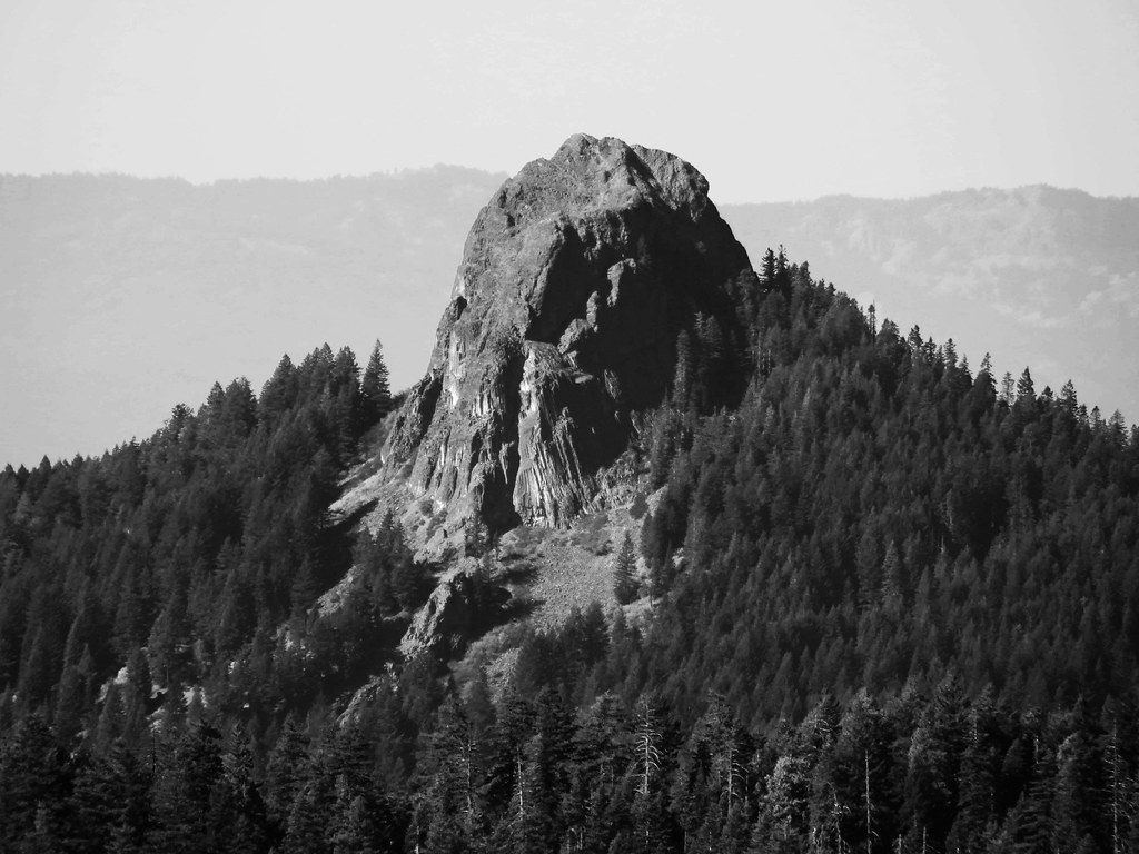 Boccard Point TrailHikingPhoto: BLM Oregon & Washington, CC BY-SA 2.0 (via Flickr)~42 min drive
 Lone Pilot TrailHikingPhoto: BLM Oregon & Washington, CC BY 2.0 (via Wikimedia Commons)~43 min drive
- DEER MTN SHORT LOOPHiking~26 min drive
 Black LavaHikingPhoto: npdoty, CC BY 2.0 (via Flickr)~45 min drive
Conditions and forecast
Caution at last checkAgency alerts are in effect for this areaUSFS · checked 19 h agoDaily highs and lows, wind and the chance of precipitation at Start for the next 7 days, from the Open-Meteo model.

Ask about this place
Questions about Juanita Lake Trail: conditions, access, timing. Answers say when something isn't known.
Local outfitters
- Crater Lake Zipline and Kayak Tours33 mi away
- Yamsi Fly Fishing33 mi away
Not on Roamze yet. Their page has how to reach them.
