Cougar Cg
Campground
6.5 mi from the trail
North Fork West Pass is a hard out-and-back hike in Idaho's Hemingway-Boulders Wilderness, part of the Sawtooth National Recreation Area within the Sawtooth National Forest. The trail runs about 17 miles, with a total elevation gain of 5,271 feet, taking you from a low point of about 6,900 feet to a high of about 10,000 feet. The Forest Service manages the land, and the route is on natural surface, with horses allowed. The pass is a long, steep climb. Plan on a full day or more, and expect the trail to be challenging from start to finish. The trip is open year-round, so you can go any time of year, though conditions at that high elevation change with the seasons. Nearby, the Upper North Fork and North Fork Lake hikes are within a few miles, and the East Fork Salmon River offers canoeing about 5.6 miles away. For an overnight base, Caribou Campground sits about 7 miles off.
Where it is: Hemingway-Boulders Wilderness · Sawtooth National Recreation Area
Near: Ketchum
Been here? Tell people how it was.
 SOUTH BOULDER LOOPHikingPhoto: DieselDemon, CC BY 2.0 (via Flickr)~17 min drive
 Chamberlain CreekHikingPhoto: USFS employees, Public domain (via Wikimedia Commons)~18 min drive
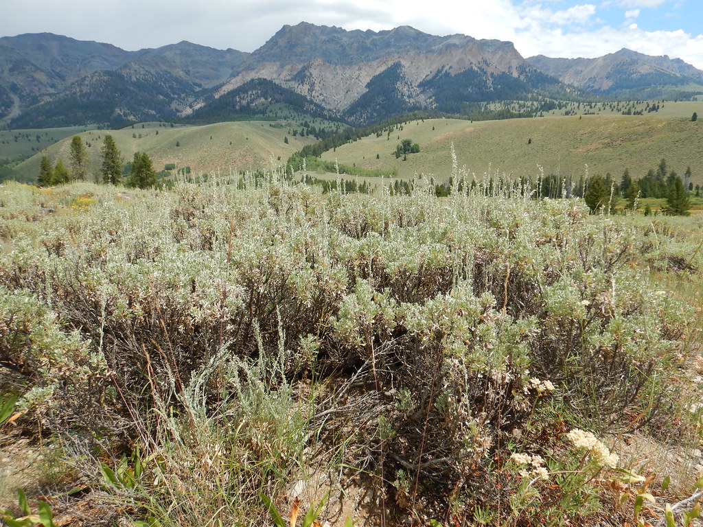 PRAIRIE CREEK LOOP SKIHikingPhoto: Matt Lavin, CC BY-SA 2.0 (via Flickr)~18 min drivePRAIRIE CREEK CONNECTOR SKIHikingPhoto: Matt Lavin, CC BY-SA 2.0 (via Flickr)~18 min drive
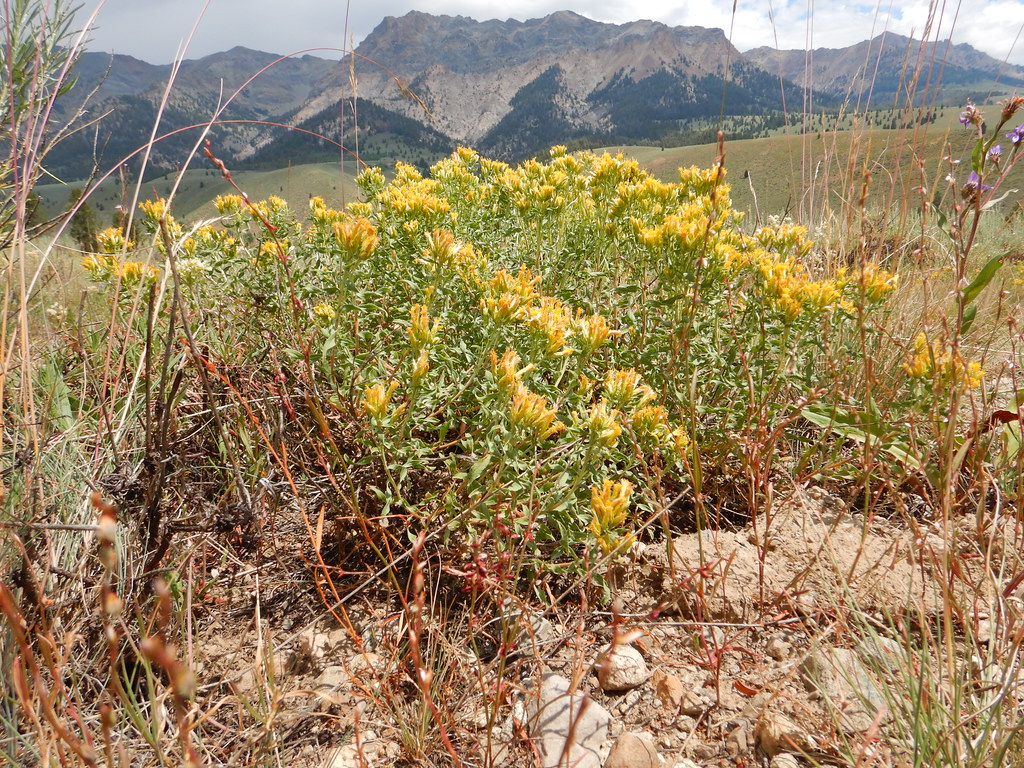 NORTH LOOP SKIHikingPhoto: Matt Lavin, CC BY-SA 2.0 (via Flickr)~18 min drive
Also worth it near here
 Silver PeakSummitPhoto: Frank Kovalchek, CC BY 3.0 (via Wikimedia Commons)~12 min drive
 Murdock Loop SkiMountain bikingPhoto: Matt Lavin from Bozeman, Montana, USA, CC BY-SA 2.0 (via Wikimedia Commons)~14 min drive
Daily highs and lows, wind and the chance of precipitation at Start for the next 7 days, from the Open-Meteo model.
Questions about North Fork West Pass: conditions, access, timing. Answers say when something isn't known.
Cougar Cg
Campground
Sun Valley Museum of Art
Museum
Places © OpenStreetMap contributors, Places © Overture Maps Foundation
More in KetchumNot on Roamze yet. Their page has how to reach them.
