West Maroon
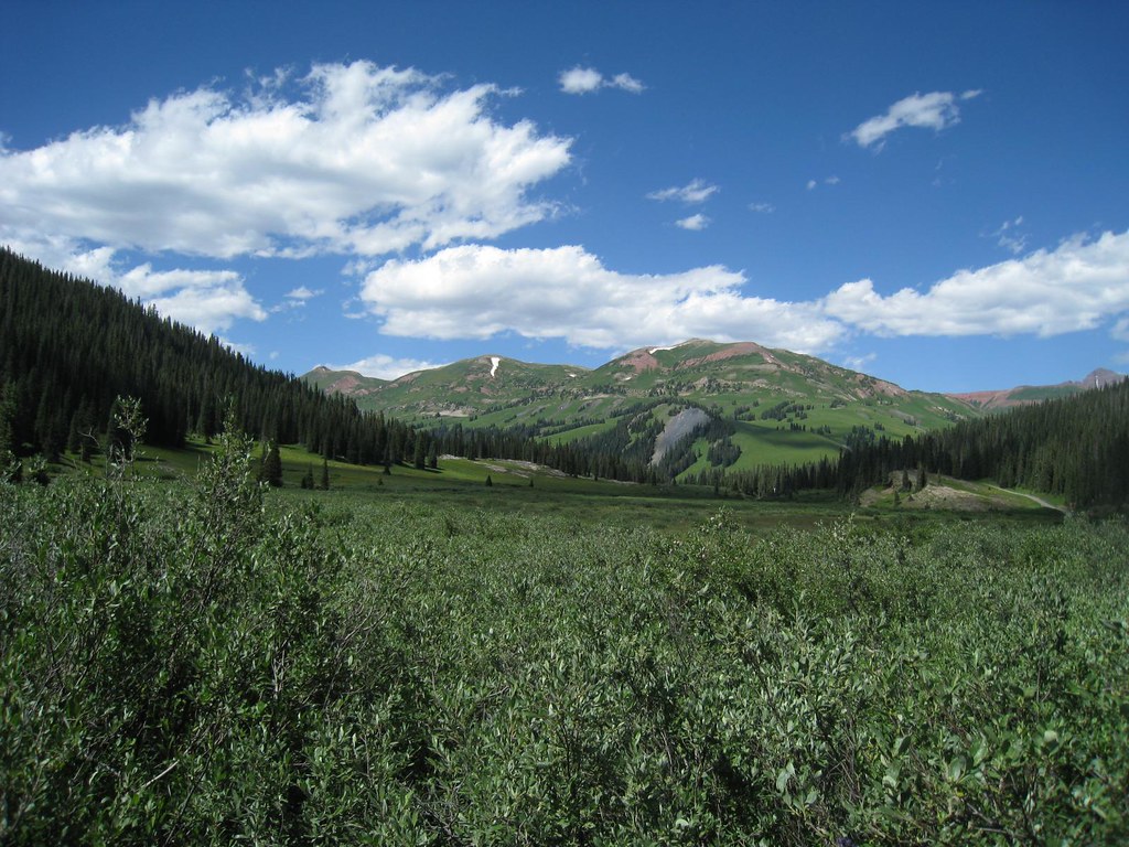
 Photo: KimonBerlin, CC BY-SA 2.0 (via Wikimedia Commons)
At a glance
West Maroon is a hard out-and-back hike in Colorado's Maroon Bells-Snowmass Wilderness, part of the Aspen Ranger District of the White River National Forest. The trail runs about 17.6 miles, with a one-way elevation gain of 5,691 feet, from a low point of 10,091 feet to a high of 12,486 feet. The Forest Service manages the land, and the route is on natural surface. Horses are allowed, but bikes are not. The East Fork Trailhead is the parking for the trip, and the trail is open year-round. The Scenic Trail (Maroon Lake) and the North Maroon Peak Northeast Ridge ski touring route both lie about 0.9 miles away. Maroon Lake Scenic, a lake fishing spot, is about 1.7 miles off. For an overnight base, Silver Queen Campground is about 4.4 miles away.
- round trip
- 17.6 mi
- climb
- 5,691 ft
- high point
- 12,486 ft
- route
- Out and back
Where it is: Maroon Bells-Snowmass Wilderness · Aspen Ranger District
Near: Aspen
Been here? Tell people how it was.
 North Maroon Peak Northeast RidgeSki touringPhoto: KimonBerlin, CC BY-SA 2.0 (via Wikimedia Commons)0.9 mi
 Scenic Trail (Maroon Lake)HikingPhoto: Michael Kirsh, CC BY-SA 2.0 (via Flickr)0.9 mi
 Maroon-Snowmass TrailSki touringPhoto: John Fowler from Placitas, NM, USA, CC BY 2.0 (via Wikimedia Commons)1.3 mi
- Maroon Lake ScenicLake fishing1.7 mi
- Silver Queen CampgroundCamping4.4 mi
- Silver Bell CampgroundCamping5.4 mi
- Castle CreekCanoeing7.7 mi
- Crested ButteRock climbing7.8 mi
- Scenic Trail (Maroon Lake)HikingPhoto: Michael Kirsh, CC BY-SA 2.0 (via Flickr)~2 min drive
- Maroon-Snowmass TrailHikingPhoto: Michael Kirsh, CC BY-SA 2.0 (via Flickr)~2 min drive
 Willow LakeHikingPhoto: kalestews, CC BY 2.0 (via Flickr)~2 min drive
 North Maroon PeakHikingPhoto: Sandy Horvath-Dori from Grand Junction, CO, USA, CC BY 2.0 (via Wikimedia Commons)~3 min drive
- Trail near Maroon LakeHikingPhoto: Michael Kirsh, CC BY-SA 2.0 (via Flickr)~2 min drive
 East MaroonHikingPhoto: Cal Wolfe, CC BY-SA 3.0 (via Wikimedia Commons)~6 min drive
 Maroon CreekHikingPhoto: Tony Webster, CC BY 2.0 (via Flickr)~7 min drive
 Treasury MountainHikingPhoto: The Greater Southwestern Exploration Company from Long Beach, California, United States, CC BY 2.0 (via Wikimedia Commons)~11 min drive
- Trail near Maroon PeakHikingPhoto: KimonBerlin, CC BY-SA 2.0 (via Wikimedia Commons)~3 min drive
 Trail RidersHikingPhoto: GSEC, CC BY 2.0 (via Flickr)~11 min drive
Also worth it near here
Conditions and forecast
Caution todayAgency alerts are in effect for this areaUSFS · checked 11 h agoDaily highs and lows, wind and the chance of precipitation at Start for the next 7 days, from the Open-Meteo model.

Ask about this place
Questions about West Maroon: conditions, access, timing. Answers say when something isn't known.
Go with a guide
- Mineral Belt Trail Guided WalkNexPM AI · $25 per person · 38 mi away
- Maroon Bells Guide and Outfitters7 mi away
