Alpine Guard Station
At a glance
Alpine Guard Station is an easy, short out-and-back hike of about 1.1 miles in Colorado's Gunnison Ranger District, part of the Grand Mesa, Uncompahgre and Gunnison National Forests. The trail rises from a low point of about 9,531 feet to a high of about 9,597 feet, with an elevation gain of about 61 feet, and the Forest Service manages the surrounding land. The route is on natural surface, and it is open to horses, though bikes are not allowed. The trail starts at the Alpine Trailhead, which serves as the parking for the trip. The hike works year-round. Summer is the most comfortable time to go. Typical averages from a nearby weather station show July highs around 77°F and lows near 44°F, while winter highs stay around 31°F with lows dipping below zero. Big Blue Creek and Big Blue Campground both lie about a mile away. The Big Park hike is roughly 2 miles off, and the Alpine Trail 225 mountain biking route is about 3 miles away.
- round trip
- 1.1 mi
- climb
- 61 ft
- high point
- 9,597 ft
- route
- Out and back
- best months
- Jun–Sep
Where it is: Gunnison Ranger District · Grand Mesa, Uncompahgre and Gunnison National Forests
Near: Montrose
Best time to visit Alpine Guard Station
Best months: June–September. Best months have typical highs of 55–85 °F, lows of 30 °F or warmer (32 °F where the station doesn't record snow), at most one snowy day and no more than 12 wet days.
Jan
31°
-1°
Feb
36°
4°
Mar
43°
15°
Apr
51°
23°
May
62°
30°
Jun
74°
38°
Jul
77°
44°
Aug
75°
43°
Sep
68°
36°
Oct
57°
25°
Nov
43°
13°
Dec
31°
1°
Typical high / low (°F) and days with rain or snow, 1991–2020. Measured at Lake City 1nne, CO, 13.5 mi away at 8,714 ft. The station sits about 900 ft lower than this place, so expect it a little cooler here. This station doesn't record snowfall. Source: NOAA NCEI U.S. Climate Normals 1991–2020.
Been here? Tell people how it was.
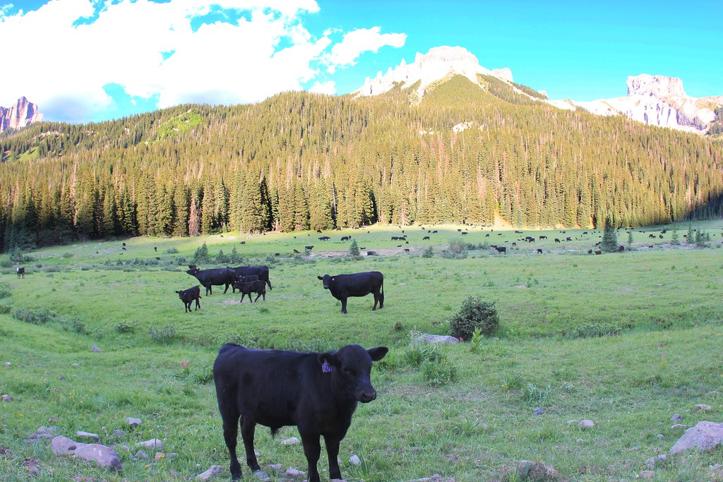 OWL CREEK PASS SNOHikingPhoto: daveynin, CC BY 2.0 (via Flickr)~18 min drive
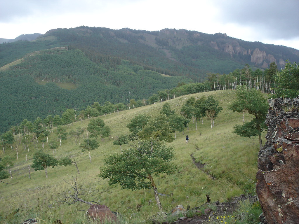 Independence BypassHikingPhoto: gregmote, CC BY 2.0 (via Flickr)~18 min drive
- Independence GulchHikingPhoto: gregmote, CC BY 2.0 (via Flickr)~18 min drive
- Ridge Stock DrivewayHiking~11 min drive
- Alpine Trail 225Hiking~13 min drive
- Little Cimarron Spur B Trail 674BHiking~7 min drive
- Little Cimarron EastHiking~7 min drive
- East ForkHiking~14 min drive
- Failes CreekHiking~6 min drive
- Salt HouseHiking~11 min drive
Conditions and forecast
Caution at last checkAgency alerts are in effect for this areaUSFS · checked 1 d agoDaily highs and lows, wind and the chance of precipitation at Start for the next 7 days, from the Open-Meteo model.
Ask about this place
Questions about Alpine Guard Station: conditions, access, timing. Answers say when something isn't known.
Local outfitters
- Peak Mountain Guides21 mi away
- Grizzly RT RV Park23 mi away
Not on Roamze yet. Their page has how to reach them.
