Taylor
At a glance
Taylor is an easy out-and-back hike of about 1.8 miles in the Mountain City-Ruby Mountains-Jarbidge Ranger District of Humboldt-Toiyabe National Forest in northeastern Nevada. The Forest Service manages the land, and the trail rises from about 5,758 feet to about 6,147 feet, a climb of roughly 380 feet one way. Summer is the most comfortable time to go. Typical averages from the nearby Jarbidge weather station, at a similar elevation, run to highs around 83 to 84°F in July and August, with lows near 48°F. Winter is cold, with January highs around 38°F and lows near 17°F. Taylor 2 lies about 1.4 miles away, and McDonald and Diamond 1 are both within about 5 miles. For an overnight stay, Big Bend Campground is about 8.3 miles off.
- round trip
- 1.8 mi
- climb
- 380 ft
- high point
- 6,147 ft
- route
- Out and back
- time
- About 45 minutes
- best months
- May–Oct
Where it is: Mountain City-Ruby Mountains-Jarbidge Ranger District · Humboldt-Toiyabe National Forest
Near: Jackpot
Best time to visit Taylor
Best months: May–October. Best months have typical highs of 55–85 °F, lows of 30 °F or warmer (32 °F where the station doesn't record snow), at most one snowy day and no more than 12 wet days.
Jan
38°
17°
Feb
39°
17°
Mar
48°
25°
Apr
54°
28°
May
64°
37°
Jun
72°
43°
Jul
83°
48°
Aug
84°
48°
Sep
73°
41°
Oct
60°
32°
Nov
47°
25°
Dec
39°
18°
Typical high / low (°F) and days with rain or snow, 1991–2020. Measured at Jarbidge, NV, 14.2 mi away at 6,180 ft. This station doesn't record snowfall. Source: NOAA NCEI U.S. Climate Normals 1991–2020.
Been here? Tell people how it was.
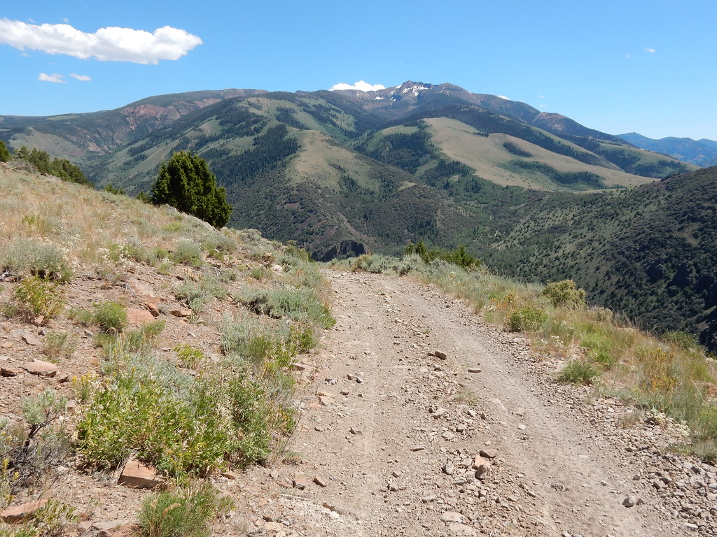 Clover TrailHikingPhoto: Matt Lavin, CC BY-SA 2.0 (via Flickr)~25 min drive
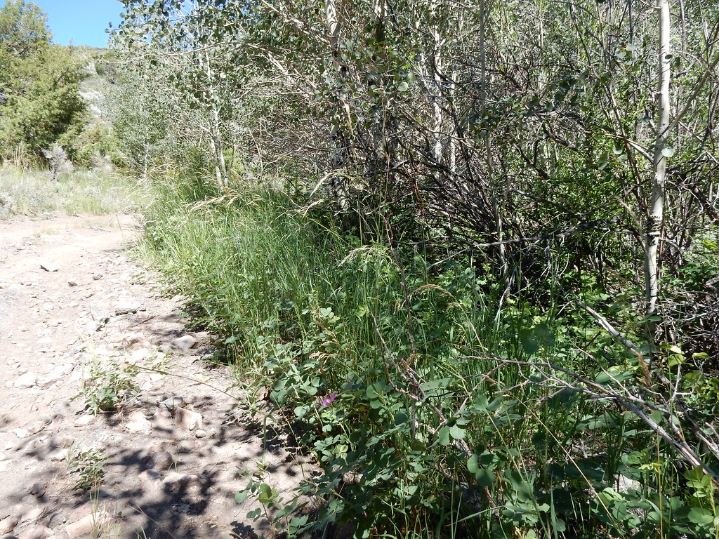 Jack CreekHikingPhoto: Matt Lavin, CC BY-SA 2.0 (via Flickr)~26 min drive
 Jenny CreekHikingPhoto: Matt Lavin, CC BY-SA 2.0 (via Flickr)~27 min drive
- SUMMITT SPUR AHiking~12 min drive
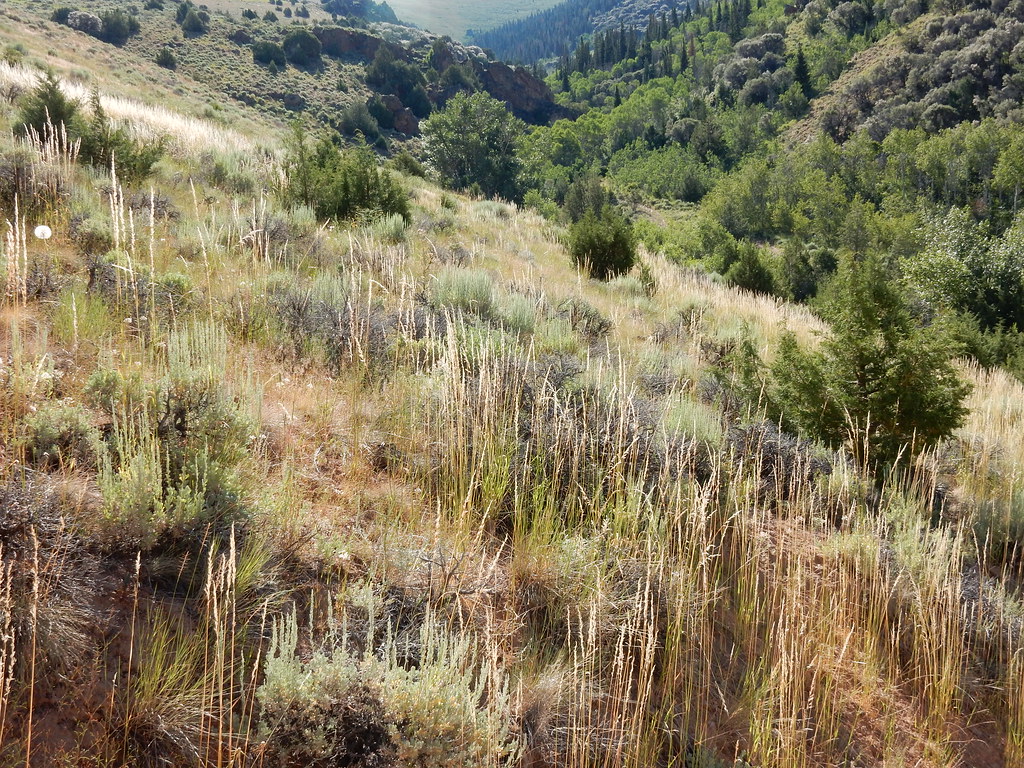 Jenny CreekHikingPhoto: Matt Lavin, CC BY-SA 2.0 (via Flickr)~24 min drive
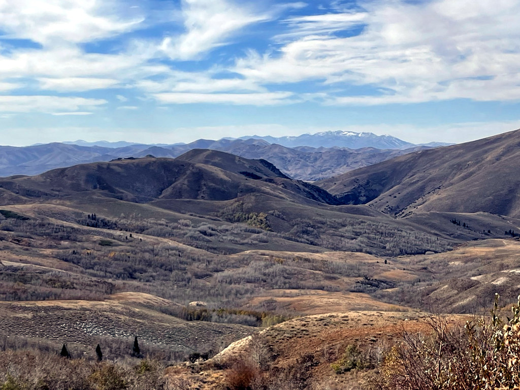 Pine CreekHikingPhoto: simonov, CC BY-SA 2.0 (via Flickr)~25 min drive
- West Marys River - Camp Draw TrailHiking~32 min drive
- CHIPMAN LOOPHiking~12 min drive
 Altitude TrailHikingPhoto: Matt Lavin, CC BY-SA 2.0 (via Flickr)~29 min drive
- JennyHikingPhoto: Matt Lavin, CC BY-SA 2.0 (via Flickr)~26 min drive
Conditions and forecast
Caution todayAgency alerts are in effect for this areaUSFS · checked 10 h agoDaily highs and lows, wind and the chance of precipitation at Start for the next 7 days, from the Open-Meteo model.


Ask about this place
Questions about Taylor: conditions, access, timing. Answers say when something isn't known.
