Dip
At a glance
The Dip is a hard hike in the Mountain City-Ruby Mountains-Jarbidge Ranger District of the Humboldt-Toiyabe National Forest in northeastern Nevada. It is a natural-surfaced, out-and-back route about 5 miles long, with a one-way elevation gain of 1,555 feet. The trail starts at a low point of about 6,532 feet and climbs to a high point of about 7,430 feet. Bikes are allowed, and the Forest Service manages the land. Summer is the most comfortable time to go. Typical averages from a nearby weather station run to highs of about 85°F in July and about 83°F in August, with lows in the upper 30s to low 40s. Winter brings highs near freezing and regular snow days, so plan for cold conditions from November through March. Several other hikes sit close by. Dip Spur A is about half a mile away, and Gulch Spur A is about 1.4 miles off. Walker 1 and Summitt are both within about 3 miles.
- round trip
- 5.1 mi
- climb
- 1,555 ft
- high point
- 7,430 ft
- route
- Out and back
- time
- About 2.5 hours
- best months
- Jun–Sep
Where it is: Mountain City-Ruby Mountains-Jarbidge Ranger District · Humboldt-Toiyabe National Forest
Best time to visit Dip
Best months: June–September. Best months have typical highs of 55–85 °F, lows of 30 °F or warmer (32 °F where the station doesn't record snow), at most one snowy day and no more than 12 wet days.
Jan
33°
5°
11 wet · 9 snow
Feb
36°
8°
10 wet · 8 snow
Mar
44°
17°
10 wet · 7 snow
Apr
52°
25°
10 wet · 5 snow
May
62°
30°
10 wet · 2 snow
Jun
73°
36°
6 wet
Jul
85°
41°
4 wet
Aug
83°
39°
4 wet
Sep
74°
31°
4 wet
Oct
59°
23°
6 wet · 2 snow
Nov
45°
16°
8 wet · 5 snow
Dec
34°
7°
11 wet · 9 snow
Typical high / low (°F) and days with rain or snow, 1991–2020. Measured at Wild Horse Rsvr, NV, 16.4 mi away at 6,239 ft. The station sits about 1,200 ft lower than this place, so expect it a little cooler here. Source: NOAA NCEI U.S. Climate Normals 1991–2020.
Been here? Tell people how it was.
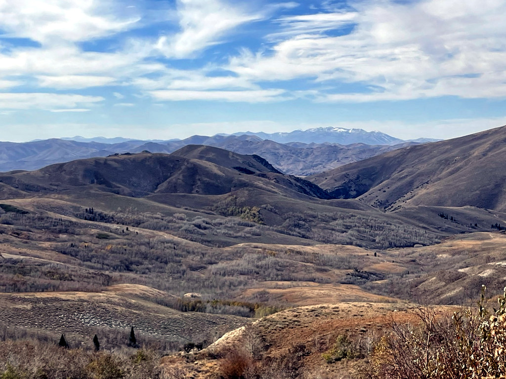 Pine CreekHikingPhoto: simonov, CC BY-SA 2.0 (via Flickr)~38 min drive
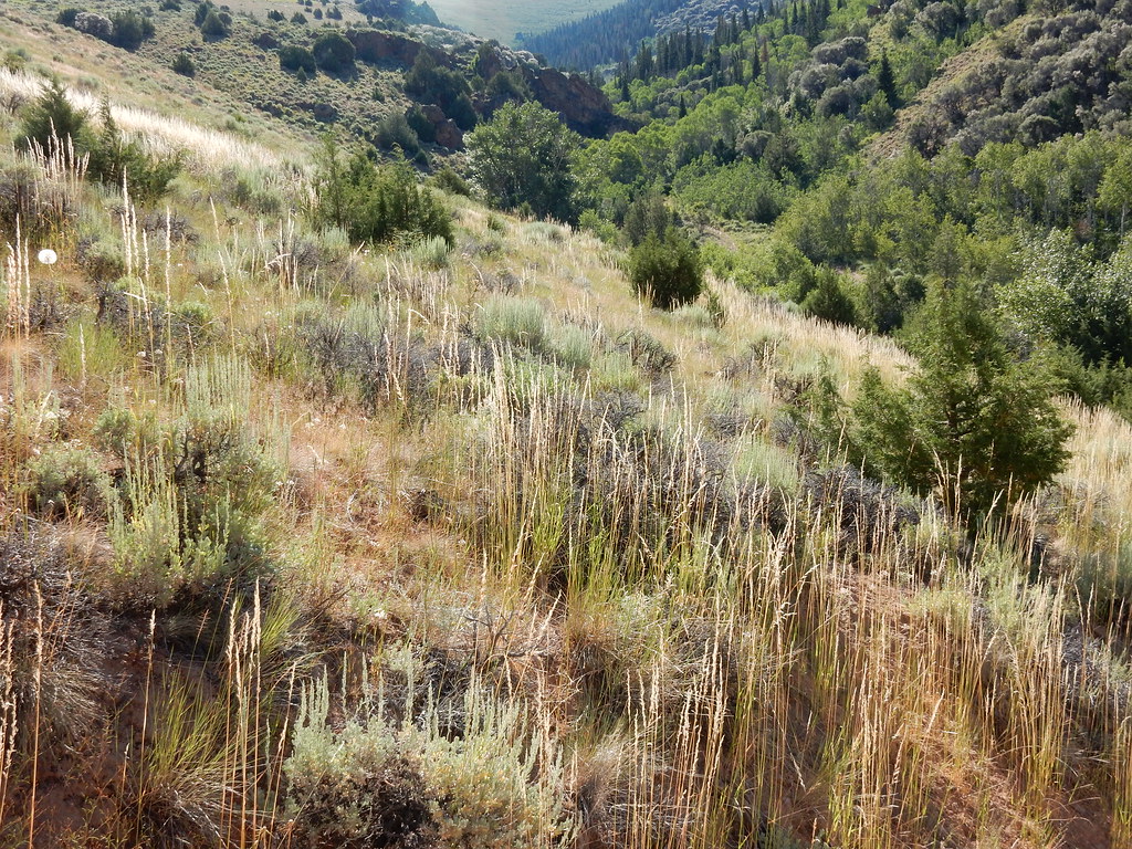 Jenny CreekHikingPhoto: Matt Lavin, CC BY-SA 2.0 (via Flickr)~40 min drive
 Jenny CreekHikingPhoto: Matt Lavin, CC BY-SA 2.0 (via Flickr)~42 min drive
- Dip Spur AHikingNext door
 West Marys River to Camp DrawHikingPhoto: simonov, CC BY-SA 2.0 (via Flickr)~41 min drive
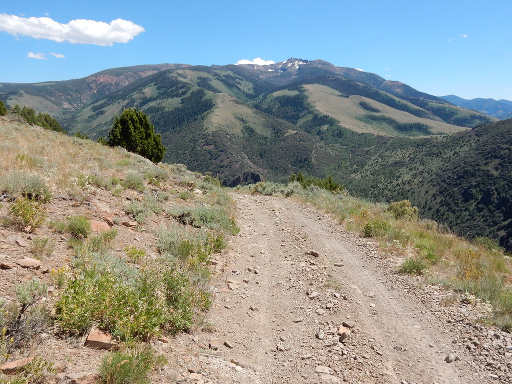 Clover TrailHikingPhoto: Matt Lavin, CC BY-SA 2.0 (via Flickr)~40 min drive
- Gulch Spur AHiking~2 min drive
- JennyHikingPhoto: Matt Lavin, CC BY-SA 2.0 (via Flickr)~41 min drive
- Cleveland TrailHiking~24 min drive
- WALKER 1Hiking~4 min drive
Conditions and forecast
Daily highs and lows, wind and the chance of precipitation at Start for the next 7 days, from the Open-Meteo model.

Ask about this place
Questions about Dip: conditions, access, timing. Answers say when something isn't known.
