Cleveland Trail
- 4.3 mi
- round trip
- 1,680 ft
- climb
- 6,556 ft
- high point
- Out and back
- route
- Jun–Sep
- best months
Clear today
Weather is good · OpenWeather · checked just now
Cleveland Trail is a moderate out-and-back hike in Nevada, about 1.4 miles from the small community of Number One Settlement. The route is roughly 8.5 miles long, with a total elevation gain of 1,680 feet, and it reaches a high point of 6,556 feet. The climb is front-loaded, with the steepest stretch at about 2.9 miles in, where the grade reaches 12 percent. The most comfortable months for a visit are typically June and September, when typical averages from a nearby weather station run from highs around 73°F to 74°F and lows in the mid-30s. That station sits about 28 miles away and at a lower elevation, so temperatures on the trail may run cooler. Winter is cold and snowy, with January highs around 33°F and snow on about nine days. The trip takes about 3.5 hours. Ryegrass Trail lies about 3.8 miles away, and the Owyhee River, a canoeing destination, is about 7.3 miles off.
- Ryegrass TrailHiking3.8 mi
 Owyhee RiverCanoeingPhoto: U.S. Bureau of Land Management, Oregon, Public domain (via Wikimedia Commons)7.3 mi
Source: Roamze catalog (indexable pages within 10 miles, PostGIS distance)
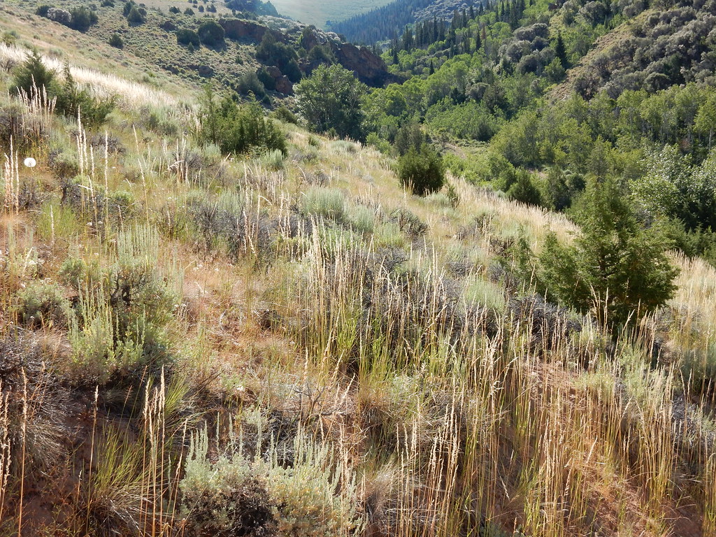 Jenny CreekHiking · ~1h 1m drivePhoto: Matt Lavin, CC BY-SA 2.0 (via Flickr)
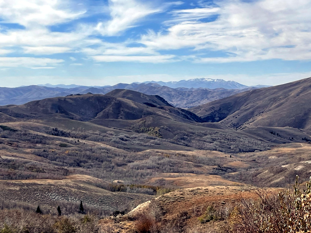 Pine CreekHiking · ~1h 1m drivePhoto: simonov, CC BY-SA 2.0 (via Flickr)
 Jenny CreekHiking · ~1h 4m drivePhoto: Matt Lavin, CC BY-SA 2.0 (via Flickr)
- WALKER 1Hiking · ~22 min drive
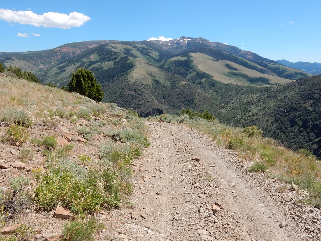 Clover TrailHiking · ~1h 1m drivePhoto: Matt Lavin, CC BY-SA 2.0 (via Flickr)
- JennyHiking · ~1h 2m drivePhoto: Matt Lavin, CC BY-SA 2.0 (via Flickr)
- Gulch Spur AHiking · ~23 min drive
 Altitude TrailHiking · ~1h 5m drivePhoto: Matt Lavin, CC BY-SA 2.0 (via Flickr)
 West Marys River to Camp DrawHiking · ~1h 5m drivePhoto: simonov, CC BY-SA 2.0 (via Flickr)
- DipHiking · ~25 min drive
Also worth it near here
Best time to visit Cleveland Trail
Best months: June–September. Best months have typical highs of 55–85 °F, lows of 30 °F or warmer (32 °F where the station doesn't record snow), at most one snowy day and no more than 12 wet days.
Jan
33° / 5°
11 wet · 9 snow
Feb
36° / 8°
10 wet · 8 snow
Mar
44° / 17°
10 wet · 7 snow
Apr
52° / 25°
10 wet · 5 snow
May
62° / 30°
10 wet · 2 snow
Jun
73° / 36°
6 wet
Jul
85° / 41°
4 wet
Aug
83° / 39°
4 wet
Sep
74° / 31°
4 wet
Oct
59° / 23°
6 wet · 2 snow
Nov
45° / 16°
8 wet · 5 snow
Dec
34° / 7°
11 wet · 9 snow
Typical high / low (°F) and days with rain or snow, 1991–2020. Measured at Wild Horse Rsvr, NV, 28.6 mi away at 6,239 ft. Source: NOAA NCEI U.S. Climate Normals 1991–2020.

Map and trail data © OpenStreetMap contributors
