Main Fork
At a glance
Main Fork is a hard hike of about 12.6 miles in the Mount Zirkel Wilderness, part of the Hahns Peak-Bears Ears Ranger District of Medicine Bow-Routt National Forest in Colorado. The trail rises from about 8,682 feet to about 9,811 feet, with a one-way gain of 1,615 feet. The route is a natural-surfaced out-and-back, and horses are allowed. The Forest Service manages the land, and the trail lies within designated wilderness. Summer is the most comfortable time to go. Typical averages from the nearby Spicer, CO weather station, run to highs in the upper 70s in July, with lows around 42°F. That station sits well below the trail, so expect temperatures on the ridge to run cooler. Gem Lake is about a mile away, and the Main Fork Trail is about 2 miles off. Mica Basin, a climbing area, and North Fork Elk Creek, a paddling route, both lie within about 4 miles.
- round trip
- 12.6 mi
- climb
- 1,615 ft
- high point
- 9,811 ft
- route
- Out and back
- best months
- Jun–Sep
Where it is: Mount Zirkel Wilderness · Hahns Peak-Bears Ears Ranger District
Near: Steamboat Springs
Best time to visit Main Fork
Best months: June–September. Best months have typical highs of 55–85 °F, lows of 30 °F or warmer (32 °F where the station doesn't record snow), at most one snowy day and no more than 12 wet days.
Jan
28°
7°
8 wet
Feb
31°
9°
8 wet
Mar
40°
15°
8 wet
Apr
49°
23°
9 wet
May
59°
30°
10 wet
Jun
71°
36°
8 wet
Jul
77°
42°
9 wet
Aug
76°
40°
11 wet
Sep
68°
34°
8 wet
Oct
55°
25°
7 wet
Nov
39°
16°
8 wet
Dec
29°
9°
8 wet
Typical high / low (°F) and days with rain or snow, 1991–2020. Measured at Spicer, CO, 31.1 mi away at 8,385 ft. The station sits about 1,400 ft lower than this place, so expect it a little cooler here. This station doesn't record snowfall. Source: NOAA NCEI U.S. Climate Normals 1991–2020.
Been here? Tell people how it was.
- Gem LakeHiking1 mi
- Main Fork TrailHiking2.1 mi
- Mica BasinRock climbing3.3 mi
- North Fork Elk CreekCanoeing3.8 mi
- West Fork Encampment RiverCanoeing6.2 mi
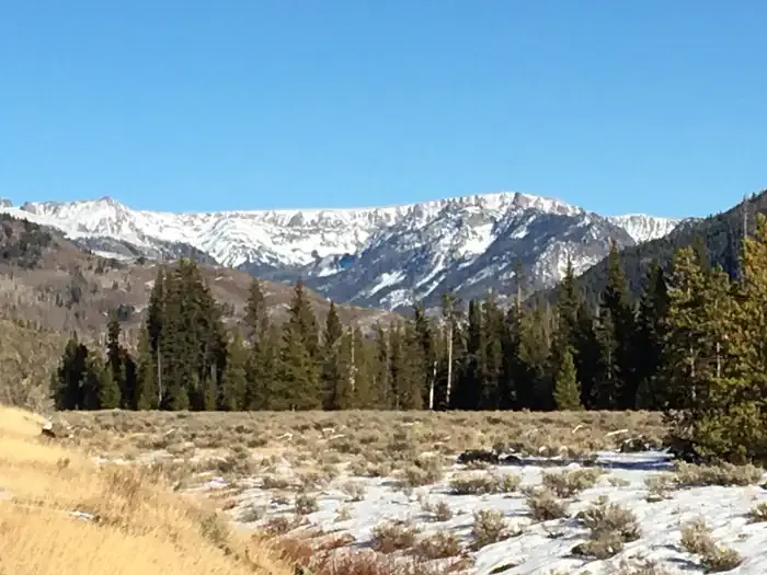 Seedhouse Group Site - Medicine-Bow Routt NF (CO)CampingPhoto: Recreation.gov (RIDB) / public domain7 mi
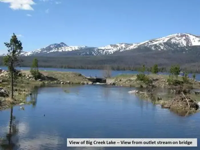 Big Creek Lakes CampgroundCampingPhoto: Recreation.gov (RIDB) / public domain7 mi
- Mt. Zirkel WildernessRock climbing8.3 mi
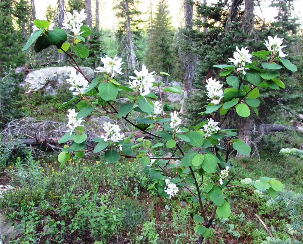 Mica BasinHikingPhoto: brewbooks, CC BY-SA 2.0 (via Flickr)~10 min drive
 Gold Creek LakeHikingPhoto: brewbooks, CC BY-SA 2.0 (via Flickr)~11 min drive
 Bear LakesHikingPhoto: brewbooks from near Seattle, USA, CC BY-SA 2.0 (via Wikimedia Commons)~13 min drive
- Red Dirt PassHiking~11 min drive
 Three Island LakeHikingPhoto: brewbooks, CC BY-SA 2.0 (via Flickr)~13 min drive
- Main Fork TrailHiking~4 min drive
- ManzanaresHiking~11 min drive
- GilpinHikingPhoto: brewbooks, CC BY-SA 2.0 (via Flickr)~10 min drive
- Manzanares Cutoff TrailHiking~8 min drive
- Blue LakeHiking~13 min drive
Conditions and forecast
Caution todayAgency alerts are in effect for this areaUSFS · checked 23 min agoDaily highs and lows, wind and the chance of precipitation at Start for the next 7 days, from the Open-Meteo model.

Ask about this place
Questions about Main Fork: conditions, access, timing. Answers say when something isn't known.
Local outfitters
- Deer Haven RV Park41 mi away
Not on Roamze yet. Their page has how to reach them.
