Windy Pass
At a glance
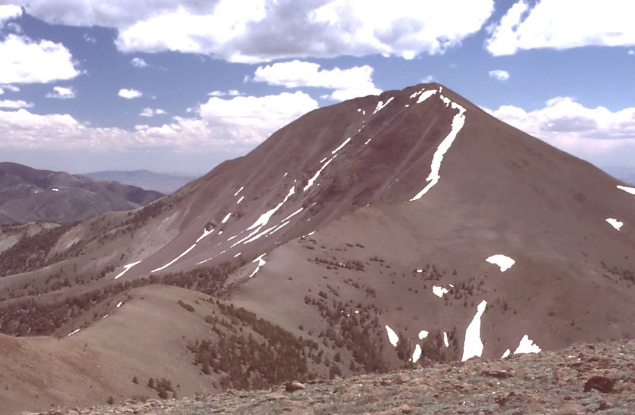
Windy Pass is a moderate out-and-back hike in Nevada's Humboldt-Toiyabe National Forest, within the Austin-Tonopah Ranger District. The trail rises from a low point of about 8,157 feet to a high of about 9,281 feet, with an elevation gain of about 1,681 feet over a round trip of about 8.8 miles. The Forest Service manages the land, and the trail is natural-surfaced and allows horses. The hike is open year round, so it works for trips at any time of year. Lone Pine Springs lies about half a mile away, and Mount Jefferson and Round Meadow are both within about 2 miles. Pine Creek Campground, about 6.4 miles away, is the closest place to camp.
- round trip
- 8.8 mi
- climb
- 1,681 ft
- high point
- 9,281 ft
- route
- Out and back
- time
- About 4 hours
Where it is: Austin-Tonopah Ranger District · Humboldt-Toiyabe National Forest
Near: Tonopah
Been here? Tell people how it was.
 Fishers Hayfarm RoadHikingPhoto: Ken Lund from Las Vegas, Nevada, USA, CC BY-SA 2.0 (via Wikimedia Commons)~23 min drive
- Mount JeffersonHiking~3 min drive
- Round MeadowHiking~3 min drive
- Adt - Nevada - S - Seg 4Hiking~14 min drive
- Adt - Nevada - S - Seg 5HikingPhoto: Ken Lund from Las Vegas, Nevada, USA, CC BY-SA 2.0 (via Wikimedia Commons)~23 min drive
- Windy Pass TrailHiking~4 min drive
- Little Table Mountain SpringHiking~4 min drive
- Jefferson Canyon RoadHiking~8 min drive
- Andrews BasinHiking~4 min drive
- Adt - Nevada - S - Seg 5Hiking~13 min drive
Conditions and forecast
Caution todayAgency alerts are in effect for this areaUSFS · checked 8 min agoDaily highs and lows, wind and the chance of precipitation at Start for the next 7 days, from the Open-Meteo model.

Ask about this place
Questions about Windy Pass: conditions, access, timing. Answers say when something isn't known.
