Slide Creek
 Photo: Matt Lavin, CC BY-SA 2.0 (via Flickr)
At a glance
Slide Creek is an out-and-back hike in Nevada's Humboldt-Toiyabe National Forest, within the Mountain City-Ruby Mountains-Jarbidge Ranger District. The round trip covers about 11.7 miles on a natural-surface trail and is rated moderate. Expect roughly 2,200 feet of climbing one way. The route runs between a low point of about 6,360 feet and a high point near 8,500 feet, so the outbound leg does most of the ascending before you turn around and retrace your steps. Horses are allowed on the trail, but bikes are not. Other hikes close by include Slide 1, Biroth and Gods Pocket Peak, all within about 3 miles. Lower Bluster Campground sits roughly 9 miles away.
- round trip
- 11.7 mi
- climb
- 2,234 ft
- high point
- 8,498 ft
- route
- Out and back
- time
- About 5 hours
Where it is: Mountain City-Ruby Mountains-Jarbidge Ranger District · Humboldt-Toiyabe National Forest
Near: Jackpot
Been here? Tell people how it was.
 East Fork Jarbidge RiverHikingPhoto: Matt Lavin, CC BY-SA 2.0 (via Flickr)~6 min drive
 Altitude TrailHikingPhoto: Matt Lavin, CC BY-SA 2.0 (via Flickr)~12 min drive
 Jenny CreekHikingPhoto: Matt Lavin, CC BY-SA 2.0 (via Flickr)~13 min drive
- Cottonwood CreekHiking~14 min drive
 Three Day CreekHikingPhoto: Matt Lavin, CC BY-SA 2.0 (via Flickr)~9 min drive
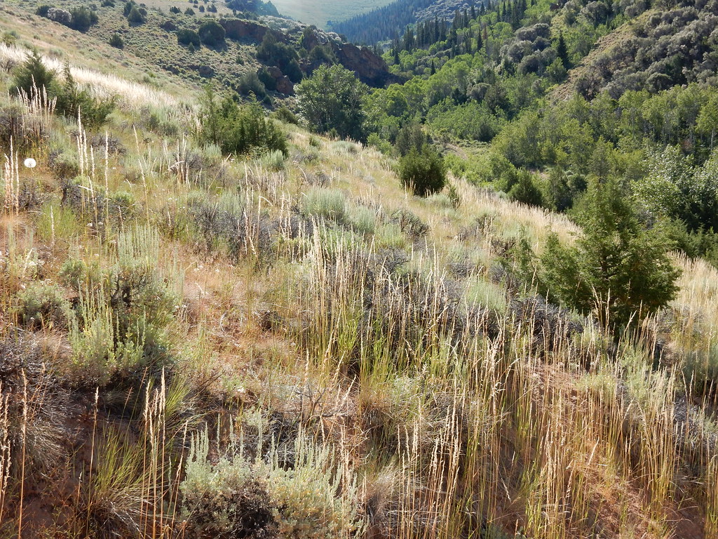 Jenny CreekHikingPhoto: Matt Lavin, CC BY-SA 2.0 (via Flickr)~16 min drive
- West Marys River - Camp Draw TrailHiking~14 min drive
- Deadman 3 Spur BHiking~16 min drive
- JennyHikingPhoto: Matt Lavin, CC BY-SA 2.0 (via Flickr)~15 min drive
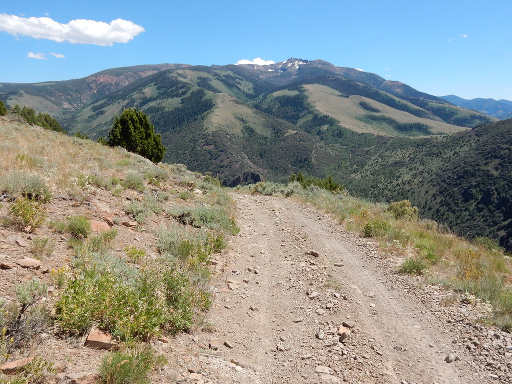 Clover TrailHikingPhoto: Matt Lavin, CC BY-SA 2.0 (via Flickr)~16 min drive
Conditions and forecast
Caution todayAgency alerts are in effect for this areaUSFS · checked 23 min agoDaily highs and lows, wind and the chance of precipitation at Start for the next 7 days, from the Open-Meteo model.

Ask about this place
Questions about Slide Creek: conditions, access, timing. Answers say when something isn't known.
