Strawberry Mountain
 Photo: Cogdog, CC BY-SA 3.0 (via Wikimedia Commons)
At a glance
Strawberry Mountain is a summit of 6,809 feet in the Payson Ranger District of Tonto National Forest in Arizona, about a mile from the town of Strawberry. The Forest Service manages the land. Late spring and early fall are the most comfortable times to go. Typical averages from a nearby weather station at a similar elevation show May highs around 70°F and September highs around 76°F, with lows in the mid-40s. Winter is cold, with January highs near 45°F and lows around 17°F. Several hikes start close by, including Pine, Mohawk and Walnut, each under a mile away. Sharp Creek Group campground is about 2.6 miles off, and the East Verde River offers paddling roughly 7.5 miles away.
- summit
- 6,809 ft
- managed by
- Forest Service
- best months
- May–Oct
Where it is: Payson Ranger District · Tonto National Forest
Near: Strawberry · 1.1 mi
Best time to visit Strawberry Mountain
Best months: May–October. Best months have typical highs of 55–85 °F, lows of 30 °F or warmer (32 °F where the station doesn't record snow), at most one snowy day and no more than 12 wet days.
Jan
45°
17°
Feb
49°
20°
Mar
55°
25°
Apr
61°
30°
May
70°
38°
Jun
80°
47°
Jul
83°
55°
Aug
81°
53°
Sep
76°
46°
Oct
67°
34°
Nov
55°
24°
Dec
45°
17°
Typical high / low (°F) and days with rain or snow, 1991–2020. Measured at Blue Ridge Rs, AZ, 23.1 mi away at 6,880 ft. This station doesn't record snowfall. Source: NOAA NCEI U.S. Climate Normals 1991–2020.
Been here? Tell people how it was.
We don't know of a mapped trail or route to the summit of Strawberry Mountain. Plan the approach with local maps, a guidebook or a local guide, and check conditions before you go.
 PineHikingPhoto: cogdogblog, CC BY 2.0 (via Flickr)0.8 mi
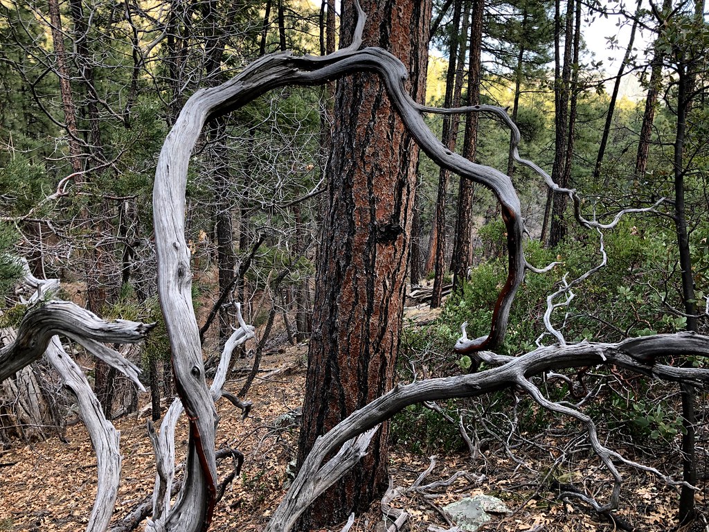 MohawkHikingPhoto: cogdogblog, Public Domain Dedication (CC0) (via Flickr)0.8 mi
- WalnutHiking0.9 mi
- Main Wall - SouthRock climbing2.6 mi
- Main Wall - NorthRock climbing2.6 mi
- Sharp Creek GroupCamping2.6 mi
 East Verde RiverCanoeingPhoto: Richard N Horne, CC BY-SA 4.0 (via Wikimedia Commons)7.5 mi
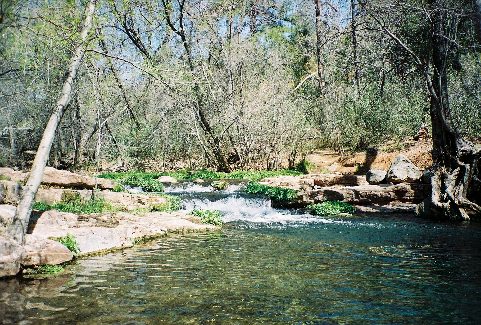 Fossil CreekCanoeingPhoto: Gonzo fan2007, CC BY-SA 3.0 (via Wikimedia Commons)7.6 mi
 Courthouse ButteSummitPhoto: Jstuby at en.wikipedia, Public domain (via Wikimedia Commons)~56 min drive
 Schnebly HillSummitPhoto: Clyde Charles Brown, CC BY-SA 4.0 (via Wikimedia Commons)~1h 2m drive
 Capitol ButteSummitPhoto: Eric Johnson, CC BY-SA 3.0 (via Wikimedia Commons)~1h 7m drive
 Wilson MountainSummitPhoto: Deborah Lee Soltesz, CC0 (via Wikimedia Commons)~1h 8m drive
 Mingus MountainSummitPhoto: Benjamin Cody, CC BY-SA 3.0 (via Wikimedia Commons)~1h 12m drive
 Gavilan PeakSummitPhoto: Phoenix500, CC BY-SA 3.0 (via Wikimedia Commons)~1h 24m drive
 Bell RockSummitPhoto: Josep Renalias, CC BY-SA 3.0 (via Wikimedia Commons)~56 min drive
- Pine MountainSummit~31 min drive
- Barnhardt MesaSummit~35 min drive
- Sacred MountainSummit~39 min drive
Also worth it near here
- PineHikingPhoto: cogdogblog, CC BY 2.0 (via Flickr)~1 min drive
- Sharp Creek GroupCamping~4 min drive
 Good EnoughMountain bikingPhoto: Coconino National Forest, CC BY-SA 2.0 (via Wikimedia Commons)~5 min drive
 Tonto Natural BridgeNatural archPhoto: Rednelson, CC BY-SA 3.0 (via Wikimedia Commons)~8 min drive
Conditions and forecast
Caution at last checkAgency alerts are in effect for this areaUSFS · checked 15 h agoDaily highs and lows, wind and the chance of precipitation at the summit for the next 7 days, from the Open-Meteo model.
Questions about Strawberry Mountain
How tall is Strawberry Mountain?
6,809 ft (2,075 m).
Is there a trail to the top of Strawberry Mountain?
We don't know of a mapped trail or route to the summit. Plan the approach with local maps, a guidebook or a local guide.
Ask about this place
Questions about Strawberry Mountain: conditions, access, timing. Answers say when something isn't known.
