Boat Camp
Campground
0.8 mi from the trail
South Bliss is a bouldering area in D.L. Bliss State Park, part of California's Lake Tahoe Basin Management Unit. The land is managed by State Park and Recreation, and the climbing sits within the park's boundaries, close to the park's own Bliss and Middle Bliss areas. The bouldering here is all on the same scale, with 13 routes ranging from V0- to V6+. The easiest are V0- and V0-1, and the hardest is Ground Zero at V6+. Solar Eclipse is a V3, and Unnamed Traverse is a V2. The routes are all boulders, so there is no climbing on rock faces to plan for. Summer is the most comfortable time to visit. Typical averages from the nearby Tahoma weather station, at a similar elevation, run to highs around 77°F in July and 76°F in August, with lows in the mid-40s. Winter is cold, with January highs near 37°F and lows around 22°F. Bliss and Middle Bliss are both within about a mile. The Vikingsholm Trail and Rubicon Trail are hiking options about a mile and a half away.
12 routes · V0-1 – V6+ · Bouldering
Where it is: D.L. Bliss State Park · Lake Tahoe Basin Management Unit
Near: South Lake Tahoe
Best months: May–October. Best months have typical highs of 55–85 °F, lows of 30 °F or warmer (32 °F where the station doesn't record snow), at most one snowy day and no more than 12 wet days.
Jan
37°
22°
Feb
38°
22°
Mar
43°
25°
Apr
49°
27°
May
58°
34°
Jun
69°
40°
Jul
77°
46°
Aug
76°
46°
Sep
69°
41°
Oct
58°
34°
Nov
44°
27°
Dec
38°
21°
Typical high / low (°F) and days with rain or snow, 1991–2020. Measured at Tahoma, CA, 6.3 mi away at 6,315 ft. This station doesn't record snowfall. Source: NOAA NCEI U.S. Climate Normals 1991–2020.
Been here? Tell people how it was.
 BlissRock climbingPhoto: Scott Thompson, CC BY 3.0 (via Wikimedia Commons)0.9 miMiddle BlissRock climbingPhoto: Scott Thompson, CC BY 3.0 (via Wikimedia Commons)1.1 mi
 Vikingsholm TrailHikingPhoto: radicalespresso, Public Domain Mark (via Flickr)1.3 mi
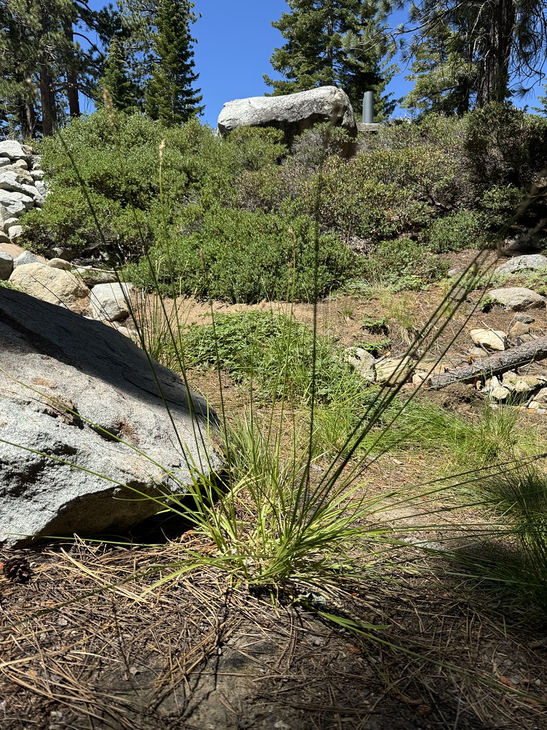 Rubicon TrailHikingPhoto: Matt Lavin, CC BY-SA 2.0 (via Flickr)1.5 mi
 Bayview CampgroundCampingPhoto: Rick McCharles — CC BY 2.0 (via Flickr)1.9 mi
 Taylor CreekCanoeingPhoto: Schmiebel, CC BY-SA 3.0 (via Wikimedia Commons)3.7 mi
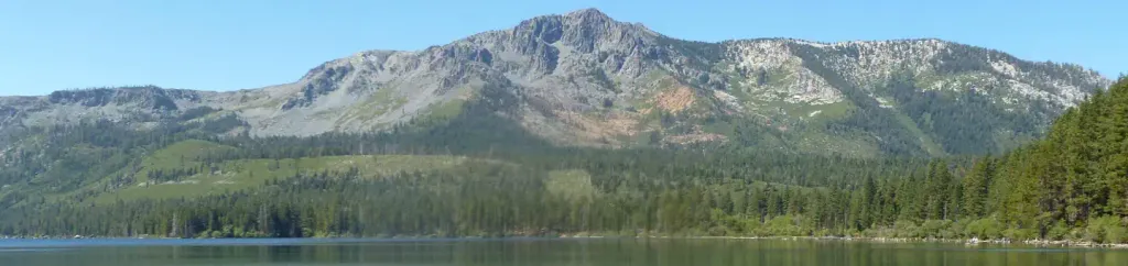 Fallen Leaf CampgroundCampingPhoto: Recreation.gov (RIDB) / public domain4.2 miBlissRock climbingPhoto: Scott Thompson, CC BY 3.0 (via Wikimedia Commons)~2 min driveLumberjackRock climbingPhoto: Scott Thompson, CC BY 3.0 (via Wikimedia Commons)~2 min drive
 Mayhem CoveRock climbingPhoto: radicalespresso, Public Domain Mark (via Flickr)~3 min drive
 Lost In SpaceRock climbingPhoto: Jesse Gardner plasticmind, CC0 (via Wikimedia Commons)~3 min drive
 Desolation Wilderness BoulderingRock climbingPhoto: ilya_ktsn, CC BY 2.0 (via Flickr)~11 min drive
 Clyde LakeRock climbingPhoto: ilya_ktsn, CC BY 2.0 (via Flickr)~13 min drive
 Gold Finger AreaRock climbingPhoto: brewbooks from near Seattle, USA, CC BY-SA 2.0 (via Wikimedia Commons)~15 min drive
 Old PeculiarRock climbingPhoto: brewbooks, CC BY-SA 2.0 (via Flickr)~15 min driveGangsta WallRock climbingPhoto: brewbooks from near Seattle, USA, CC BY-SA 2.0 (via Wikimedia Commons)~15 min driveBilly LandRock climbingPhoto: brewbooks, CC BY-SA 2.0 (via Flickr)~15 min drive
Daily highs and lows, wind and the chance of precipitation at South Bliss for the next 7 days, from the Open-Meteo model.
Questions about South Bliss: conditions, access, timing. Answers say when something isn't known.
Boat Camp
Campground
Places © OpenStreetMap contributors, Places © Overture Maps Foundation
More in Sunnyside-Tahoe City