Rocky Mountain
At a glance
Rocky Mountain is a summit of 3,443 feet in the Blue Ridge Ranger District of the Chattahoochee-Oconee National Forests in north Georgia, about 3.4 miles from the small community of Cherry Log. The most comfortable months for a visit are typically late spring and early fall. Typical averages from a nearby weather station in Blairsville show May highs around 76°F and October highs around 70°F, with September the driest month at about nine wet days. That station sits roughly 1,500 feet below the summit, so temperatures on top run cooler. Several trails start close by. Stanley Gap is 0.8 miles away and the Benton Mackaye Trail is 1.1 miles away. Stanley Creek is 1.3 miles off. For an overnight stay, Sandy Bottoms - Toccoa River Campground is about 4.6 miles away.
- summit
- 3,443 ft
- way up
- 1
- best months
- Mar–May, Aug–Nov
Where it is: Blue Ridge Ranger District · Chattahoochee-Oconee National Forests
Near: Blue Ridge
Best time to visit Rocky Mountain
Best months: March–May and August–November. Best months have typical highs of 55–85 °F, lows of 30 °F or warmer (32 °F where the station doesn't record snow), at most one snowy day and no more than 12 wet days.
Jan
49°
25°
12 wet
Feb
53°
28°
12 wet
Mar
60°
34°
12 wet
Apr
69°
41°
11 wet
May
76°
50°
12 wet
Jun
82°
58°
13 wet
Jul
85°
62°
13 wet
Aug
84°
61°
12 wet
Sep
80°
55°
9 wet
Oct
70°
43°
10 wet
Nov
61°
33°
10 wet
Dec
52°
29°
12 wet
Typical high / low (°F) and days with rain or snow, 1991–2020. Measured at Blairsville Exp Stn, GA, 21.8 mi away at 1,949 ft. The station sits about 1,500 ft lower than this place, so expect it a little cooler here. This station doesn't record snowfall. Source: NOAA NCEI U.S. Climate Normals 1991–2020.
Closures we've recorded since August 2026
Spring 2026 Forest-wide Fire Restrictions
Chattahoochee-Oconee National Forests · Order dated April 23, 2026; seen Aug 23, 2026 → lifted Oct 13, 2026 · Forest Service
Been here? Tell people how it was.
Map © Mapbox © OpenStreetMap contributors - Green Mountain2,554 ft · Georgia2 routes2.4 mi away
- Rhodes Mountain3,398 ft · Georgia1 route11 mi away
- Gregory Knob3,380 ft · Georgia1 route13 mi away
- Payne Knob3,413 ft · Georgia1 route13 mi away
- High Top3,290 ft · Georgia1 route14 mi away
 Springer Mountain3,780 ft · Georgia1 route14 mi awayPhoto: Mark Larson, CC BY-SA 2.0 (via Wikimedia Commons)
 Stanley GapHikingPhoto: Thomson20192, Public Domain Dedication (CC0) (via Flickr)0.8 mi
- Benton Mackaye TrailHikingPhoto: Thomson20192, Public Domain Dedication (CC0) (via Flickr)1.1 mi
- Stanley CreekHikingPhoto: Thomson20192, Public Domain Dedication (CC0) (via Flickr)1.3 mi
- Lake Blue RidgeLake fishing4.4 mi
- Sandy Bottoms - Toccoa River CampgroundCamping4.6 mi
- Ellijay RiverCanoeing5.3 mi
- Toccoa RiverRiver fishing6.7 mi
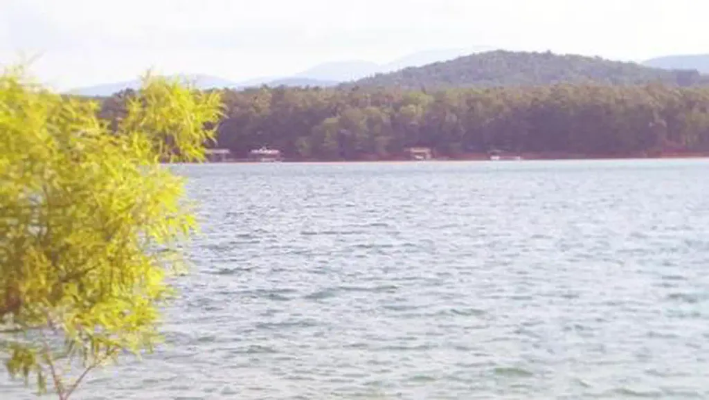 Morganton PointCampingPhoto: Recreation.gov (RIDB) / public domain6.9 mi
- Springer MountainSummitPhoto: Mark Larson, CC BY-SA 2.0 (via Wikimedia Commons)~24 min drive
 Talona MountainSummitPhoto: Thomson20192, CC0 (via Wikimedia Commons)~26 min drive
 Bald MountainSummitPhoto: Thomson M, CC BY 3.0 (via Wikimedia Commons)~31 min drive
 Sharptop MountainSummitPhoto: Thomson M, CC BY 3.0 (via Wikimedia Commons)~35 min drive
 Grassy MountainSummitPhoto: Thomson200, CC0 (via Wikimedia Commons)~35 min drive
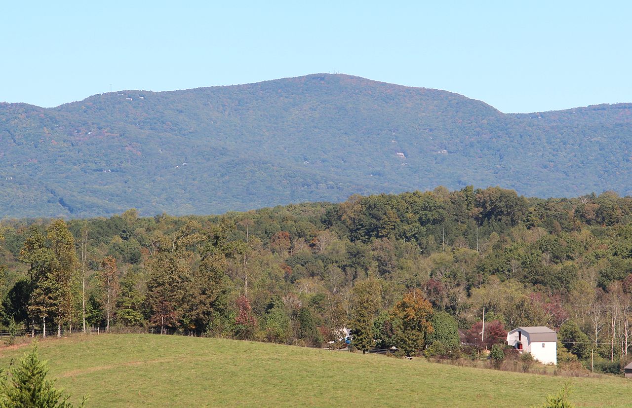 Mount OglethorpeSummitPhoto: Thomson200, CC0 (via Wikimedia Commons)~37 min drive
 Blood MountainSummitPhoto: Thomson200, CC0 (via Wikimedia Commons)~38 min drive
 Levelland MountainSummitPhoto: Thomson200, CC0 (via Wikimedia Commons)~42 min drive
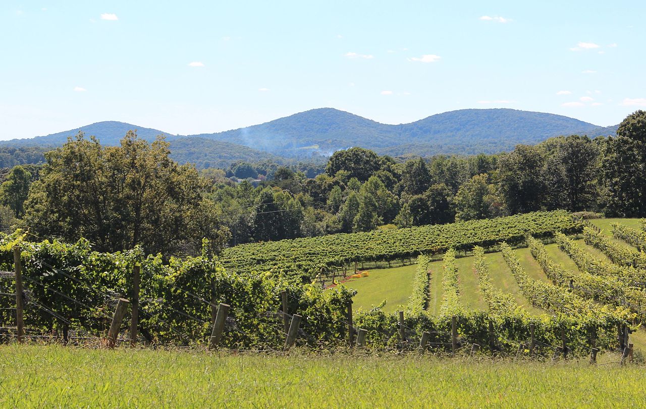 Three Sisters MountainSummitPhoto: Thomson200, CC0 (via Wikimedia Commons)~44 min drive
 Sharp MountainSummitPhoto: Thomson200, CC0 (via Wikimedia Commons)~46 min drive
Also worth it near here
- Stanley GapHikingPhoto: Thomson20192, Public Domain Dedication (CC0) (via Flickr)~1 min drive
 Glamp Blue RidgeCampingPhoto: Thomson20192, CC0 (via Wikimedia Commons)~2 min drive
- Flat Creek LoopMountain biking~3 min drive
- Lake Blue Ridge Day Use Area Boating SiteBoat launch~7 min drive
- Lake Blue RidgeLake fishing~8 min drive
Conditions and forecast
Caution todayAgency alerts are in effect for this areaUSFS · checked 11 min agoDaily highs and lows, wind and the chance of precipitation at the summit and route start for the next 7 days, from the Open-Meteo model.
Questions about Rocky Mountain
How tall is Rocky Mountain?
3,443 ft (1,049 m).
How many routes go to the summit of Rocky Mountain?
One: Stanley Gap.
When is the best time to climb Rocky Mountain?
Year-round.
Ask about this place
Questions about Rocky Mountain: conditions, access, timing. Answers say when something isn't known.
