Lake Blue Ridge
- Easy
- difficulty
Is Lake Blue Ridge open right now?
Closure in the area
There's a closure order in Chattahoochee-Oconee National Forests. It doesn't name Lake Blue Ridge, so check the source for the area it covers (5 listed).
West Cowpen, FS Road 17, Road Maintenance
Agency closure covering Chattahoochee-Oconee National Forests · USFS · Chattahoochee-Oconee National Forests
Bear Creek Road, FS 241, Temporarily Closed
Agency closure covering Chattahoochee-Oconee National Forests · USFS · Chattahoochee-Oconee National Forests
Prescribed fire on Oconee Ranger District at Jasper County
Agency closure covering Chattahoochee-Oconee National Forests · USFS · Chattahoochee-Oconee National Forests
Muskrat Road, FS 218, Temporarily Closed
Agency closure covering Chattahoochee-Oconee National Forests · USFS · Chattahoochee-Oconee National Forests
Flash Flood Awareness
Agency closure covering Chattahoochee-Oconee National Forests · USFS · Chattahoochee-Oconee National Forests
As of · Source: USFS · Chattahoochee-Oconee National Forests. Agencies don't list every closure — check before you go.
Lake Blue Ridge is a 3,079-acre reservoir in north Georgia, managed by the Tennessee Valley Authority and the Georgia Department of Natural Resources. It sits within the Blue Ridge Ranger District of the Chattahoochee-Oconee National Forests. Spring and fall are the most comfortable times to visit. Typical averages from a nearby weather station in Blairsville show October highs around 70°F with lows near 43°F, and May highs around 76°F. July is the warmest month, with highs near 85°F. Several trails start close by. The Lake Blue Ridge Trail is about 1.2 miles away, and the Morganton Point Lake Trail is about 2.2 miles away. For an overnight stay, Morganton Point campground is about 2.5 miles off. The Toccoa River, about 3.2 miles away, offers river fishing.
Local outfitters
- Toccoa River Outfitter7 mi away
- Hiwassee Outfitters27 mi away
Not on Roamze yet. Their page has how to reach them.
- Lake Blue Ridge TrailHiking1.2 mi
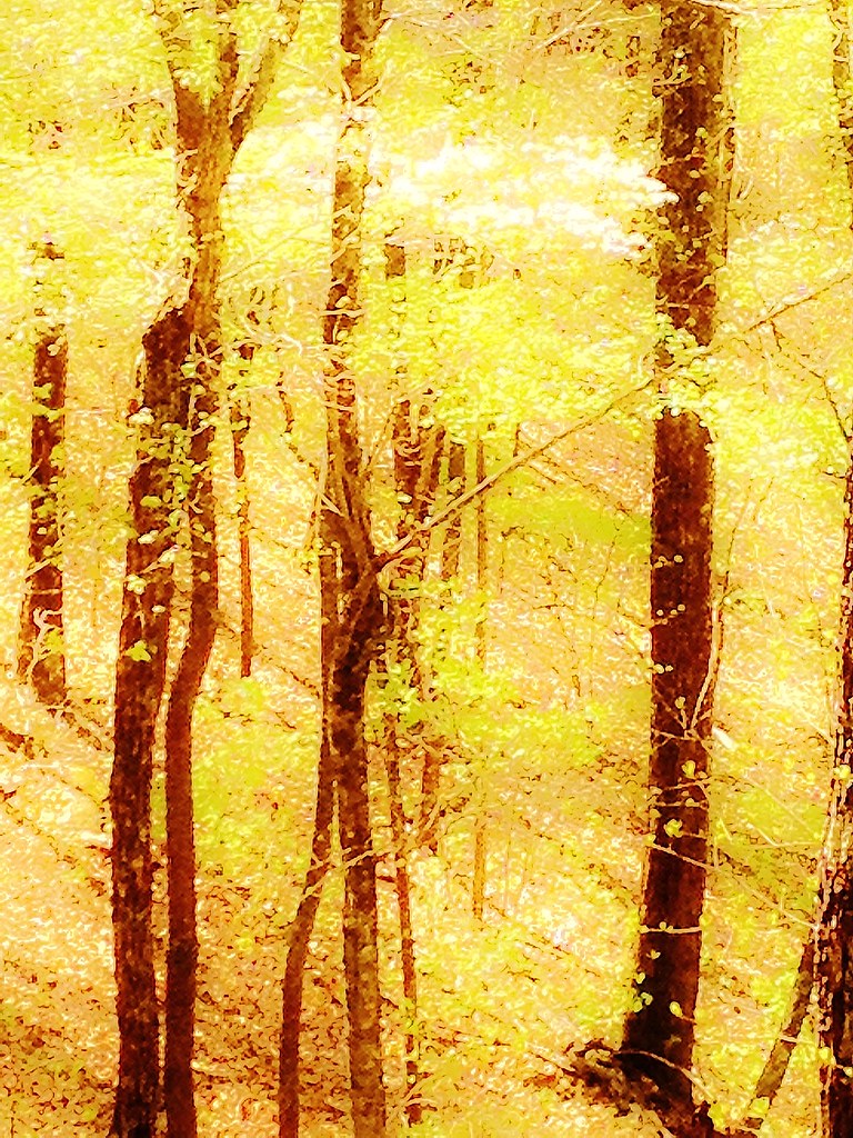 GREEN MOUNTAINHikingPhoto: Olin Gilbert, CC BY 2.0 (via Flickr)1.8 mi
- Lower Green Mountain (ConnectoHikingPhoto: Olin Gilbert, CC BY 2.0 (via Flickr)1.8 mi
 Morganton Point Lake TrailHikingPhoto: schwglr, CC BY-SA 2.0 (via Flickr)2.2 mi
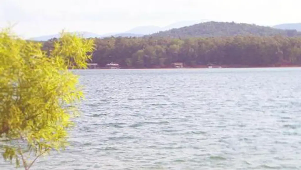 Morganton PointCampingPhoto: Recreation.gov (RIDB) / public domain2.5 mi
- Toccoa RiverRiver fishing3.2 mi
- Sandy Bottoms - Toccoa River CampgroundCamping3.9 mi
- Ellijay RiverCanoeing9.3 mi
Source: Roamze catalog (indexable pages within 10 miles, PostGIS distance)
- Jackrabbit MountainLake fishing · ~51 min drive
- Doll Mountain Day Use Area ShelterPier fishing · ~43 min drive
- Chatuge LakeLake fishing · ~48 min drive
- Toccoa RiverRiver fishing · ~6 min drive
- Jacks RiverRiver fishing · ~29 min drive
- Ocoee River AreaRiver fishing · ~40 min drive
- Harold Wells LakeLake fishing · ~26 min drive
- Indian Boundary LakePier fishing · ~1h 7m drive
- Lake LanierLake fishing · ~1h 12m drive
- Ocoee RiverRiver fishing · ~30 min drive
