Sugar Loafin' RV Park
Campground
3.4 mi from the trail
Rock Creek is a 1.24-mile out-and-back route in Colorado with 282 feet of elevation gain. The route follows the Rock Creek area and is managed by the Forest Service.
Near: Leadville
Blocked today
This location is inside an active fire perimeter; weather is marginal · nifc_wfigs, SNOTEL, OpenWeather · checked just now
Best months: June–August. Best months have typical highs of 55–85 °F, lows of 30 °F or warmer (32 °F where the station doesn't record snow), at most one snowy day and no more than 12 wet days.
Jan
31°
3°
8 wet
Feb
33°
3°
8 wet
Mar
39°
9°
8 wet
Apr
44°
18°
8 wet
May
55°
27°
9 wet
Jun
68°
34°
9 wet
Jul
73°
39°
12 wet
Aug
70°
38°
12 wet
Sep
62°
31°
8 wet
Oct
51°
23°
6 wet
Nov
39°
14°
7 wet
Dec
31°
6°
7 wet
Typical high / low (°F) and days with rain or snow, 1991–2020. Measured at Sugarloaf Rsvr, CO, 2.6 mi away at 9,738 ft. We don't have this place's elevation, so higher spots nearby can run cooler. This station doesn't record snowfall. Source: NOAA NCEI U.S. Climate Normals 1991–2020.
Been here? Tell people how it was.
 Back 9Cross-country skiingPhoto: Famartin, CC BY-SA 4.0 (via Wikimedia Commons)~9 min drive
 GrizCross-country skiingPhoto: Bruce Fingerhood from Springfield, Oregon, US, CC BY 2.0 (via Wikimedia Commons)~17 min drive
 CooperCross-country skiingPhoto: Jeffrey Beall, CC BY 4.0 (via Wikimedia Commons)~18 min driveLarry'S LoopCross-country skiingPhoto: Bruce Fingerhood from Springfield, Oregon, US, CC BY 2.0 (via Wikimedia Commons)~18 min drive
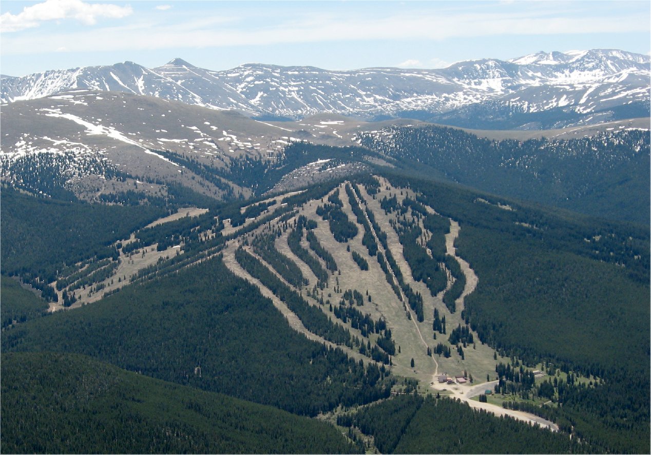 Ski CooperDownhill skiingPhoto: The original uploader was Sculptorjones at English Wikipedia., Public domain (via Wikimedia Commons)~19 min drive
 CutoffCross-country skiingPhoto: Famartin, CC BY-SA 4.0 (via Wikimedia Commons)~10 min driveLung BurnCross-country skiingPhoto: Bruce Fingerhood from Springfield, Oregon, US, CC BY 2.0 (via Wikimedia Commons)~18 min drive
 Treeline Loop Ski TrailCross-country skiingPhoto: Jeffrey Beall, CC BY 4.0 (via Wikimedia Commons)~18 min driveCooper CreekCross-country skiingPhoto: Jeffrey Beall, CC BY 4.0 (via Wikimedia Commons)~19 min drive
Daily highs and lows, wind and the chance of precipitation at Start for the next 7 days, from the Open-Meteo model.
Questions about Rock Creek: conditions, access, timing. Answers say when something isn't known.
Sugar Loafin' RV Park
Campground
 If it rainsLongled, CC BY-SA 3.0 · Wikimedia Commons
Historic frontier synagogue building
Places © OpenStreetMap contributors, Places © Overture Maps Foundation · Photos: Longled, CC BY-SA 3.0 (commons)
More in LeadvilleNot on Roamze yet. Their page has how to reach them.
