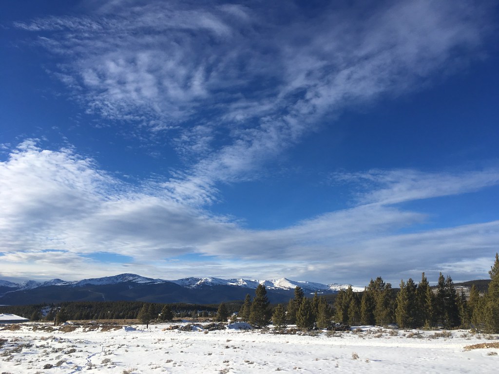
Leadville RV Corral
Campground
Campground · 1.1 mi from the trail
 Photo: Famartin, CC BY-SA 4.0 (via Wikimedia Commons)
Back 9 is a cross-country skiing route in Colorado, about 0.8 miles from the town of Stringtown. The trail is short and easy, covering roughly 1.5 miles with a total elevation gain of 161 feet. It starts at about 10,031 feet and reaches a high point of 10,156 feet, with the steepest stretch at the beginning, where the grade reaches about 7%. Winter is the natural season for this route. Typical averages from a nearby weather station at Leadville show January highs around 30°F with lows near 5°F, while June and July are the warmest months, with highs in the mid-60s to low 70s. The trail sits close to other outdoor options. Boonedoogle, a mountain biking route, is about 0.2 miles away, and the Mountain Bike Trail near Carbonate Hill is about 0.3 miles away. Leadville RV Corral, a campground, is about 1.1 miles away, and Crystal Lake Fishing Site is about 3.3 miles away.
Leadville RV Corral
Campground
Two Mile Brewing
Bar
 If it rainsLongled, CC BY-SA 3.0 · Wikimedia Commons
Historic frontier synagogue building
Places © OpenStreetMap contributors · Photos: Longled, CC BY-SA 3.0 (commons)
More in LeadvilleNot on Roamze yet. Their page has how to reach them.
Best months: June–July and September. Best months have typical highs of 55–85 °F, lows of 30 °F or warmer (32 °F where the station doesn't record snow), at most one snowy day and no more than 12 wet days.
Jan
30° / 5°
10 wet
Feb
31° / 6°
10 wet
Mar
37° / 12°
11 wet
Apr
43° / 19°
11 wet
May
54° / 27°
9 wet
Jun
66° / 34°
7 wet
Jul
71° / 39°
12 wet
Aug
68° / 38°
13 wet
Sep
61° / 32°
9 wet
Oct
50° / 24°
8 wet
Nov
37° / 13°
9 wet
Dec
29° / 5°
10 wet
Typical high / low (°F) and days with rain or snow, 1991–2020. Measured at Leadville Lake Co Ap, CO, 0.7 mi away at 9,932 ft. This station doesn't record snowfall. Source: NOAA NCEI U.S. Climate Normals 1991–2020.
 Photo: Famartin, CC BY-SA 4.0 (via Wikimedia Commons)
Cutoff
Next door
Cutoff is a 0.35-mile trail in Colorado with 51 feet of elevation gain.
 Photo: Bruce Fingerhood from Springfield, Oregon, US, CC BY 2.0 (via Wikimedia Commons)
Griz
~13 min drive
Griz is a 0.83-mile trail in Colorado with 26 ft of elevation gain.
Photo: Bruce Fingerhood from Springfield, Oregon, US, CC BY 2.0 (via Wikimedia Commons)Willa'S Way
~13 min drive
0.86-mile trail in Colorado with 89 ft of elevation gain.
 Photo: Jeffrey Beall, CC BY 4.0 (via Wikimedia Commons)
Cooper
~14 min drive
Cooper is a 0.24-mile ski trail in Colorado with 10 feet of elevation gain.
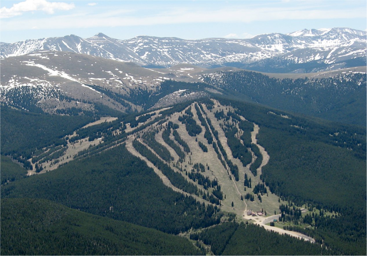 Photo: The original uploader was Sculptorjones at English Wikipedia., Public domain (via Wikimedia Commons)
Ski Cooper
~15 min drive
Ski Cooper in Colorado has 5 lifts and 47 runs (12 easy, 16 intermediate, 18 advanced) with 1,161 ft of vertical.
 Photo: Famartin, CC BY-SA 4.0 (via Wikimedia Commons)
Swoop
~1 min drive
0.57-mile short ski trail in Colorado with 9 feet of elevation gain.
Photo: Bruce Fingerhood from Springfield, Oregon, US, CC BY 2.0 (via Wikimedia Commons)Lung Burn
~14 min drive
0.49-mile trail in Colorado with 186 ft of elevation gain.
Photo: Bruce Fingerhood from Springfield, Oregon, US, CC BY 2.0 (via Wikimedia Commons)Larry'S Loop
~14 min drive
Larry'S Loop is a short 0.86-mile loop in Colorado with 256 feet of elevation gain.
 Photo: Jeffrey Beall, CC BY 4.0 (via Wikimedia Commons)
Treeline Loop Ski Trail
~15 min drive
1.60-mile loop in Tennessee Pass, Colorado with 466 ft elevation gain.
SEE
Dutch Henry Ski Hill
Next door
Dutch Henry Ski Hill is a small downhill ski area in Colorado with 1 rope tow. It is operated by Colorado Mountain College.
Map and trail data © OpenStreetMap contributors