
Mountain Park Group Campground
Campground
0.6 mi from the trail
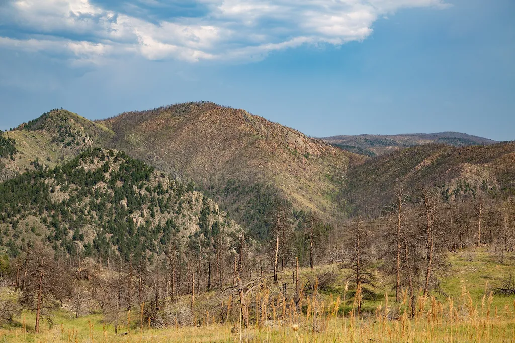 Photo: Tony Webster — Wikimedia Commons (CC BY 2.0)
Mount McConnel Nature Trail is a 4.5-mile loop in the Canyon Lakes Ranger District of the Arapaho and Roosevelt National Forests in Colorado, managed by the Forest Service. The trail is rated moderate, with a total elevation gain of 1,064 feet, and it rises from about 6,636 feet to about 7,966 feet. The loop format lets hikers go all the way around without backtracking, making it a good choice for a half-day outing. Summer is the most comfortable time to go. Typical averages from a nearby weather station at a similar elevation show July highs around 79°F with lows near 56°F, while winter highs stay around 40°F. The trail is not open to bikes or horses. Mountain Park Group Campground and Mountain Park Campground sit within a mile, and the Sheep Mountain Trail is about 1.7 miles away. The Cache la Poudre River is roughly 2.2 miles off.
Where it is: Canyon Lakes Ranger District · Arapaho and Roosevelt National Forests
Near: Fort Collins
Best months: May–October. Best months have typical highs of 55–85 °F, lows of 30 °F or warmer (32 °F where the station doesn't record snow), at most one snowy day and no more than 12 wet days.
Jan
40°
21°
5 wet
Feb
40°
20°
6 wet
Mar
47°
26°
8 wet
Apr
51°
30°
10 wet
May
60°
39°
12 wet
Jun
72°
49°
11 wet
Jul
79°
56°
11 wet
Aug
78°
55°
11 wet
Sep
70°
47°
8 wet
Oct
57°
36°
7 wet
Nov
47°
28°
6 wet
Dec
40°
20°
6 wet
Typical high / low (°F) and days with rain or snow, 1991–2020. Measured at Buckhorn Mtn 1 E, CO, 9.4 mi away at 7,400 ft. The station sits about 600 ft lower than this place, so expect it a little cooler here. This station doesn't record snowfall. Source: NOAA NCEI U.S. Climate Normals 1991–2020.
Been here? Tell people how it was.
 East Eggers Gulch TrailHikingPhoto: Tony Webster, CC BY 2.0 (via Flickr)2.3 miEast Eggers Gulch TrailHikingPhoto: Tony Webster, CC BY 2.0 (via Flickr)~4 min drive
 Lower Dadd GulchHikingPhoto: Tony Webster, CC BY 2.0 (via Flickr)~8 min drive
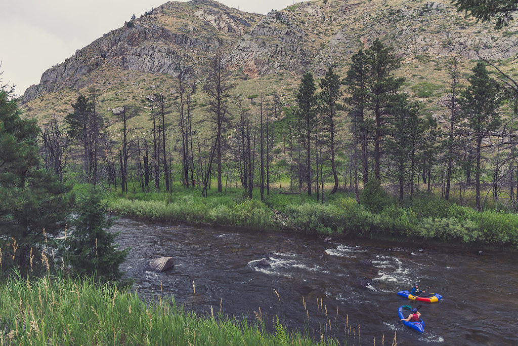 Hewlett GulchHikingPhoto: Tony Webster, CC BY 2.0 (via Flickr)~13 min driveWest Eggers Gulch TrailHikingPhoto: Tony Webster, CC BY 2.0 (via Flickr)~5 min drive
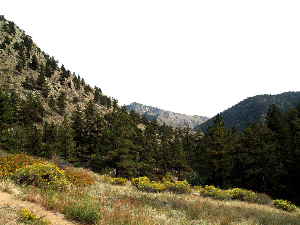 Greyrock MeadowsHikingPhoto: charkesw, CC BY 2.0 (via Flickr)~15 min drive
 OA TrailHikingPhoto: trickofthelight, CC BY 2.0 (via Flickr)~9 min driveFalls Gulch TrailHikingPhoto: Tony Webster, CC BY 2.0 (via Flickr)~13 min drive
Daily highs and lows, wind and the chance of precipitation at the summit and route start for the next 7 days, from the Open-Meteo model.
Questions about Mount McConnel Nature Trail: conditions, access, timing. Answers say when something isn't known.
Mountain Park Group Campground
Campground
Mishawaka Ampetheatre
Restaurant
Homestead Museum
Museum
Places © OpenStreetMap contributors
More in Red Feather LakesNot on Roamze yet. Their page has how to reach them.
Park at Mountain Park Trailhead.
About 4.5 mi from Mountain Park Trailhead (about 6,935 ft).
About 1,064 ft of climbing round trip.
It is rated moderate.
Mountain Park Trailhead (about 6,935 ft).
2: Mount McConnel Nature Trail and Wheeler Nat. Rec. Trail - Colorado.
Map and trail data © OpenStreetMap contributors
