Jacks Gulch Campground
Campground
Campground · 1.3 mi from the trail
Alert in the area
The Forest Service lists 4 alerts for Canyon Lakes Ranger District.
Salt Cabin Prescribed (RX) Fire Closure
Agency alert covering Canyon Lakes Ranger District · Order 02-10-05-26-11 · USFS · Canyon Lakes Ranger District
Fire Restrictions
Agency alert covering Arapaho and Roosevelt National Forests · USFS · Arapaho and Roosevelt National Forests
West Crystal A - Mechanical Fuelbreak Area and Road Closure
Agency alert covering Canyon Lakes Ranger District · Order 02-10-05-26-04 · USFS · Canyon Lakes Ranger District
Cameron Peak Fire Road Closures
Agency alert covering Canyon Lakes Ranger District · Order 02-10-05-26-01 · USFS · Canyon Lakes Ranger District
As of · Source: USFS · Canyon Lakes Ranger District. Agencies don't list every closure — check before you go.
Fish Creek is a hard hike in Colorado's Comanche Peak Wilderness, on the Canyon Lakes Ranger District of the Arapaho and Roosevelt National Forests. It is an out-and-back route of about 13 miles, with a one-way gain of 1,878 feet from a low point of about 7,913 feet to a high of about 9,192 feet. The Forest Service manages the land. Summer is the most comfortable time to go. A nearby weather station records typical July highs around 74°F and lows near 43°F, while winter highs average about 31°F from December through February. The trail is a natural surface and horses are allowed. The parking area is called Fish Creek, and the route is open year-round. Nearby, Little Fish is a hike about 0.4 miles away, and the South Fork Cache la Poudre River offers canoeing about half a mile off. Jacks Gulch Campground and the Jacks Gulch Cg Loop Trail are both about 1.3 miles away.
Jacks Gulch Campground
Campground
Dining Hall
Restaurant
Homestead Museum
Museum
Places © OpenStreetMap contributors
More in Red Feather LakesNot on Roamze yet. Their page has how to reach them.
Best months: June and September. Best months have typical highs of 55–85 °F, lows of 30 °F or warmer (32 °F where the station doesn't record snow), at most one snowy day and no more than 12 wet days.
Jan
31° / 11°
9 wet
Feb
33° / 10°
9 wet
Mar
40° / 15°
10 wet
Apr
45° / 20°
10 wet
May
55° / 28°
10 wet
Jun
68° / 36°
10 wet
Jul
74° / 43°
13 wet
Aug
72° / 41°
14 wet
Sep
65° / 34°
10 wet
Oct
51° / 25°
8 wet
Nov
39° / 18°
9 wet
Dec
31° / 11°
9 wet
Typical high / low (°F) and days with rain or snow, 1991–2020. Measured at Hourglass Rsvr, CO, 5.5 mi away at 9,520 ft. This station doesn't record snowfall. Source: NOAA NCEI U.S. Climate Normals 1991–2020.
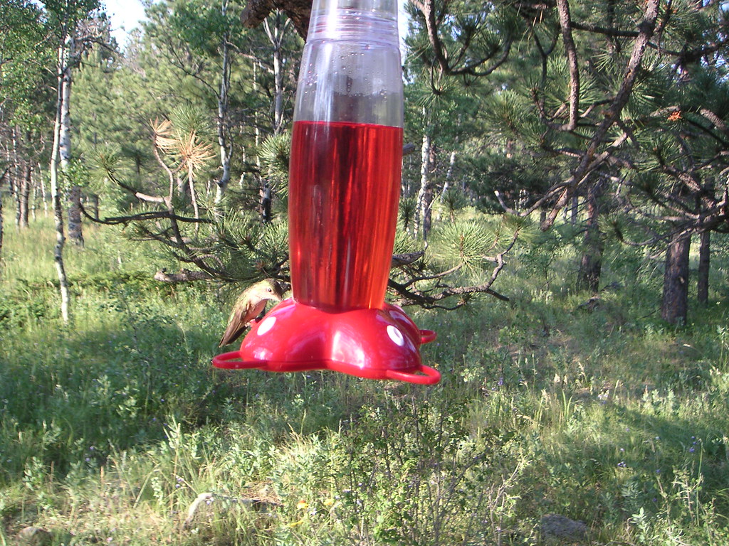 Photo: lojjic, CC BY-SA 2.0 (via Flickr)
Jacks Gulch Cg Loop Trail
~2 min drive
1.15-mile loop in Colorado with 73 ft elevation gain.
 Photo: Tony Webster, CC BY 2.0 (via Flickr)
Lower Dadd Gulch
~9 min drive
7.04-mile out-and-back trail in Colorado with 1,257 ft elevation gain.
 Photo: Brett Levin Photography, CC BY 2.0 (via Flickr)
Mummy Pass
~12 min drive
7.09-mile out-and-back trail in Colorado with 1,303 ft elevation gain.
Photo: Brett Levin Photography, CC BY 2.0 (via Flickr)Surprise Pond Trail
~9 min drive
1.6-mile out-and-back trail with 334 ft gain and 9,756 ft max elevation.
HIKE
Mount McConnel Nature Trail
~10 min drive
4.5 mi · Moderate
HIKE
Stormy Peaks
~7 min drive
6.45-mile out-and-back trail in Colorado with 1,186 ft elevation gain.
 Photo: Tony Webster, CC BY 2.0 (via Flickr)
West Eggers Gulch Trail
~10 min drive
1.16-mile out-and-back trail in Colorado with 384 ft gain and 7,001 ft max elevation.
HIKE
East Stormy Peaks Trail
~9 min drive
1.94-mile out-and-back trail in Colorado with 1,200 ft elevation gain.
HIKE
Signal Mountain
~8 min drive
11.37-mile out-and-back trail on Signal Mountain in Colorado with 1,126 ft of elevation gain.
Photo: Tony Webster, CC BY 2.0 (via Flickr)East Eggers Gulch Trail
~10 min drive
0.68-mile out-and-back trail in Colorado with 150 ft elevation gain.
