Ansel Watrous Campground
Campground
Campground · 1.8 mi from the trail
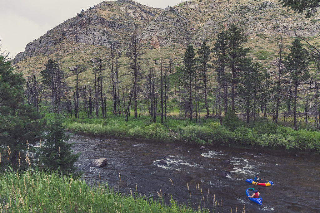 Photo: Tony Webster, CC BY 2.0 (via Flickr)
Alert in the area
The Forest Service lists 4 alerts for Canyon Lakes Ranger District.
Salt Cabin Prescribed (RX) Fire Closure
Agency alert covering Canyon Lakes Ranger District · Order 02-10-05-26-11 · USFS · Canyon Lakes Ranger District
Fire Restrictions
Agency alert covering Arapaho and Roosevelt National Forests · USFS · Arapaho and Roosevelt National Forests
West Crystal A - Mechanical Fuelbreak Area and Road Closure
Agency alert covering Canyon Lakes Ranger District · Order 02-10-05-26-04 · USFS · Canyon Lakes Ranger District
Cameron Peak Fire Road Closures
Agency alert covering Canyon Lakes Ranger District · Order 02-10-05-26-01 · USFS · Canyon Lakes Ranger District
As of · Source: USFS · Canyon Lakes Ranger District. Agencies don't list every closure — check before you go.
Hewlett Gulch is a hard hike in Colorado's Arapaho and Roosevelt National Forests, within the Canyon Lakes Ranger District. The trail is an out-and-back of about 12.9 miles, rising from a low point of about 5,727 feet to a high of about 6,779 feet, with an elevation gain of about 1,012 feet. The Forest Service manages the land, and the trailhead is named Hewlett Gulch Trailhead. The route is a natural-surface trail that allows both bikes and horses. That makes it a versatile choice for a longer day with a horse or a ride on the trail. Summer is the most comfortable time to go. Typical averages from a nearby weather station at about 7,400 feet put July highs near 79°F with lows around 56°F, and the station sits higher than the trail's high point, so temperatures on the route run a bit warmer. Winters are cold, with January highs around 40°F and lows near 21°F. Poudre Canyon and Pine Vu climbing areas are both under a mile away, and the Falls Gulch Trail and Greyrock Meadows hikes are about 0.9 miles off. Ansel Watrous Campground, about 1.8 miles away, offers a place to stay.
Ansel Watrous Campground
Campground
Mishawaka Ampetheatre
Restaurant
Homestead Museum
Museum
Places © OpenStreetMap contributors
More in Red Feather LakesNot on Roamze yet. Their page has how to reach them.
 Poudre CanyonRock climbingPhoto: Jeffrey Beall, CC BY 4.0 (via Wikimedia Commons)0.7 miFalls Gulch TrailHikingPhoto: Tony Webster, CC BY 2.0 (via Flickr)0.9 mi
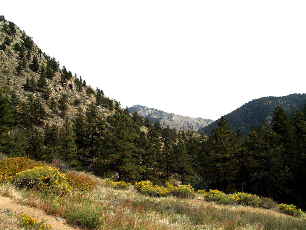 Greyrock MeadowsHikingPhoto: charkesw, CC BY 2.0 (via Flickr)0.9 mi
 Stove Prairie Landing CampgroundCampingPhoto: Stephen Hornbeck, CC BY 4.0 (via Wikimedia Commons)4.5 mi
Source: Roamze catalog (indexable pages within 10 miles, PostGIS distance)
Falls Gulch TrailHiking · ~1 min drivePhoto: Tony Webster, CC BY 2.0 (via Flickr)Greyrock MeadowsHiking · ~2 min drivePhoto: charkesw, CC BY 2.0 (via Flickr) Wintersteen TrailHiking · ~4 min drivePhoto: kalestews, CC BY 2.0 (via Flickr)
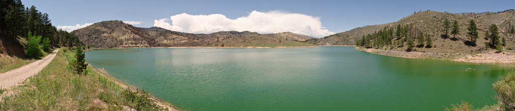 Seaman TrailHiking · ~7 min drivePhoto: USDAgov, Public Domain Mark (via Flickr)
 Reservoir Ridge TrailHiking · ~16 min drivePhoto: Mountain Roamer, CC BY-SA 2.0 (via Flickr)
Also worth it near here
Northwest SlabsRock climbing · ~3 min drivePhoto: kalestews, CC BY 2.0 (via Flickr) Greyrock MountainSummit · ~3 min drivePhoto: Lvaughn7, CC BY-SA 4.0 (via Wikimedia Commons)Stove Prairie Landing CampgroundCamping · ~8 min drivePhoto: Stephen Hornbeck, CC BY 4.0 (via Wikimedia Commons)
Best months: May–October. Best months have typical highs of 55–85 °F, lows of 30 °F or warmer (32 °F where the station doesn't record snow), at most one snowy day and no more than 12 wet days.
Jan
40° / 21°
5 wet
Feb
40° / 20°
6 wet
Mar
47° / 26°
8 wet
Apr
51° / 30°
10 wet
May
60° / 39°
12 wet
Jun
72° / 49°
11 wet
Jul
79° / 56°
11 wet
Aug
78° / 55°
11 wet
Sep
70° / 47°
8 wet
Oct
57° / 36°
7 wet
Nov
47° / 28°
6 wet
Dec
40° / 20°
6 wet
Typical high / low (°F) and days with rain or snow, 1991–2020. Measured at Buckhorn Mtn 1 E, CO, 5.1 mi away at 7,400 ft. The station sits about 600 ft higher than this place, so expect it a little warmer here. This station doesn't record snowfall. Source: NOAA NCEI U.S. Climate Normals 1991–2020.
