Pahranagat Loop Trail
 Photo: Seth Tisue, CC BY-SA 2.0 (via Flickr)
At a glance
Pahranagat Loop Trail is a short, easy loop in Pahranagat National Wildlife Refuge in Nevada, managed by the U.S. Fish and Wildlife Service. The trail is about 0.4 miles long, with a total elevation gain of about 10 feet, so it's a quick walk that fits easily into a visit to the refuge. Spring and fall are the most comfortable times to go. Typical averages from a nearby weather station show April highs around 74°F and October highs around 78°F, while July and August average about 100°F. Dogs are allowed on a leash, and the trail has limited wheelchair access. Bikes and horses are not permitted. The Visitor Center Trail and Cabin Trail both start about 0.1 mile away, and the Black Canyon Trail and Dove Dike Trail are within a mile.
- loop
- 0.4 mi
- climb
- 10 ft
- high point
- 3,321 ft
- route
- Loop
- time
- About 15 minutes
- best months
- Feb–May, Oct–Nov
Where it is: Pahranagat National Wildlife Refuge
Near: Alamo
Best time to visit Pahranagat Loop Trail
Best months: February–May and October–November. Best months have typical highs of 55–85 °F, lows of 30 °F or warmer (32 °F where the station doesn't record snow), at most one snowy day and no more than 12 wet days.
Jan
54°
29°
3 wet
Feb
59°
32°
4 wet
Mar
66°
37°
3 wet
Apr
74°
42°
2 wet
May
83°
50°
2 wet
Jun
95°
59°
1 wet
Jul
100°
66°
1 wet
Aug
99°
64°
2 wet
Sep
91°
55°
1 wet
Oct
78°
44°
2 wet
Nov
65°
34°
2 wet
Dec
53°
27°
2 wet
Typical high / low (°F) and days with rain or snow, 1991–2020. Measured at Pahranagat Wr, NV, 0.2 mi away at 3,334 ft. Source: NOAA NCEI U.S. Climate Normals 1991–2020.
Been here? Tell people how it was.
- Cabin TrailHikingPhoto: Seth Tisue, CC BY-SA 2.0 (via Flickr)0.1 mi
- Visitor Center TrailHiking0.1 mi
 Black Canyon TrailHikingPhoto: Ken Lund, CC BY-SA 2.0 (via Flickr)0.7 mi
- Dove Dike TrailHikingPhoto: Seth Tisue, CC BY-SA 2.0 (via Flickr)0.8 mi
- Upper Lake TrailHikingPhoto: Ken Lund, CC BY-SA 2.0 (via Flickr)1.1 mi
- Davenport TrailHikingPhoto: Ken Lund, CC BY-SA 2.0 (via Flickr)1.2 mi
 Middle Marsh West TrailHikingPhoto: USFWS Pacific Southwest Region, Public Domain Mark (via Flickr)2.7 mi
- Pahranagat CreekCanoeing6.1 mi
- Cabin TrailHikingPhoto: Seth Tisue, CC BY-SA 2.0 (via Flickr)Next door
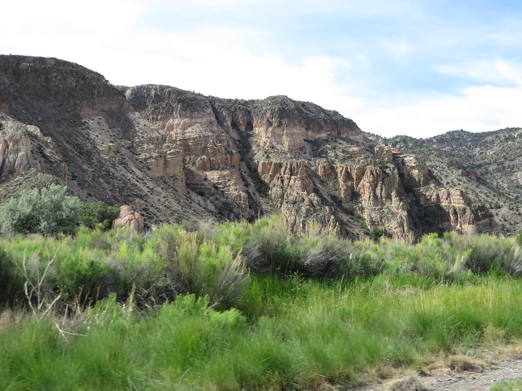 Canyon Overlook LoopHikingPhoto: Ken Lund, CC BY-SA 2.0 (via Flickr)~1h 8m drive
- Death Valley Immigrant TrailHiking~47 min drive
- Dead Horse TrailHiking~1h drive
- Black Canyon TrailHikingPhoto: Ken Lund, CC BY-SA 2.0 (via Flickr)~1 min drive
- Noname Peak TrailHiking~21 min drive
- Red Rhyolite TrailHiking~56 min drive
- Sawmill Canyon TrailHiking~1h 8m drive
- Dove Dike TrailHikingPhoto: Seth Tisue, CC BY-SA 2.0 (via Flickr)~1 min drive
- Path to Tikaboo PeakHiking~24 min drive
Conditions and forecast
Daily highs and lows, wind and the chance of precipitation at Start for the next 7 days, from the Open-Meteo model.

Ask about this place
Questions about Pahranagat Loop Trail: conditions, access, timing. Answers say when something isn't known.
Map and trail data © OpenStreetMap contributors
