Upper Lake Trail
 Photo: Ken Lund, CC BY-SA 2.0 (via Flickr)
- 3.7 mi
- round trip
- 27 ft
- climb
- 3,378 ft
- high point
- Out and back
- route
- Feb–May, Oct–Nov
- best months
Upper Lake Trail is an easy out-and-back hike of about 3.7 miles on Pahranagat National Wildlife Refuge in Nevada, managed by the U.S. Fish and Wildlife Service. The trail rises only about 27 feet from its low point at 3,349 feet to a high of 3,378 feet, so it's a gentle walk with little climb. Spring and fall are the most comfortable times to go. Typical averages from a nearby weather station show April highs around 74°F and October highs around 78°F, while July and August average near 100°F. Dogs are allowed on a leash, and bikes are permitted. The trail sits close to several other routes. Davenport Trail is about 0.2 miles away and Black Canyon Trail about 0.4 miles. Pahranagat Loop Trail and Visitor Center Trail are both within about a mile and a quarter.
Best time to go · Feb–May, Oct–Nov
Best time to visit Upper Lake Trail
Best months: February–May and October–November. Best months have typical highs of 55–85 °F, lows of 30 °F or warmer (32 °F where the station doesn't record snow), at most one snowy day and no more than 12 wet days.
Jan
54° / 29°
3 wet
Feb
59° / 32°
4 wet
Mar
66° / 37°
3 wet
Apr
74° / 42°
2 wet
May
83° / 50°
2 wet
Jun
95° / 59°
1 wet
Jul
100° / 66°
1 wet
Aug
99° / 64°
2 wet
Sep
91° / 55°
1 wet
Oct
78° / 44°
2 wet
Nov
65° / 34°
2 wet
Dec
53° / 27°
2 wet
Typical high / low (°F) and days with rain or snow, 1991–2020. Measured at Pahranagat Wr, NV, 1.2 mi away at 3,334 ft. Source: NOAA NCEI U.S. Climate Normals 1991–2020.
Keep exploring — more trails worth the drive
Photo: Ken Lund, CC BY-SA 2.0 (via Flickr)Davenport Trail
Next door
3.41-mile out-and-back hike in Nevada with 65 ft of elevation gain.
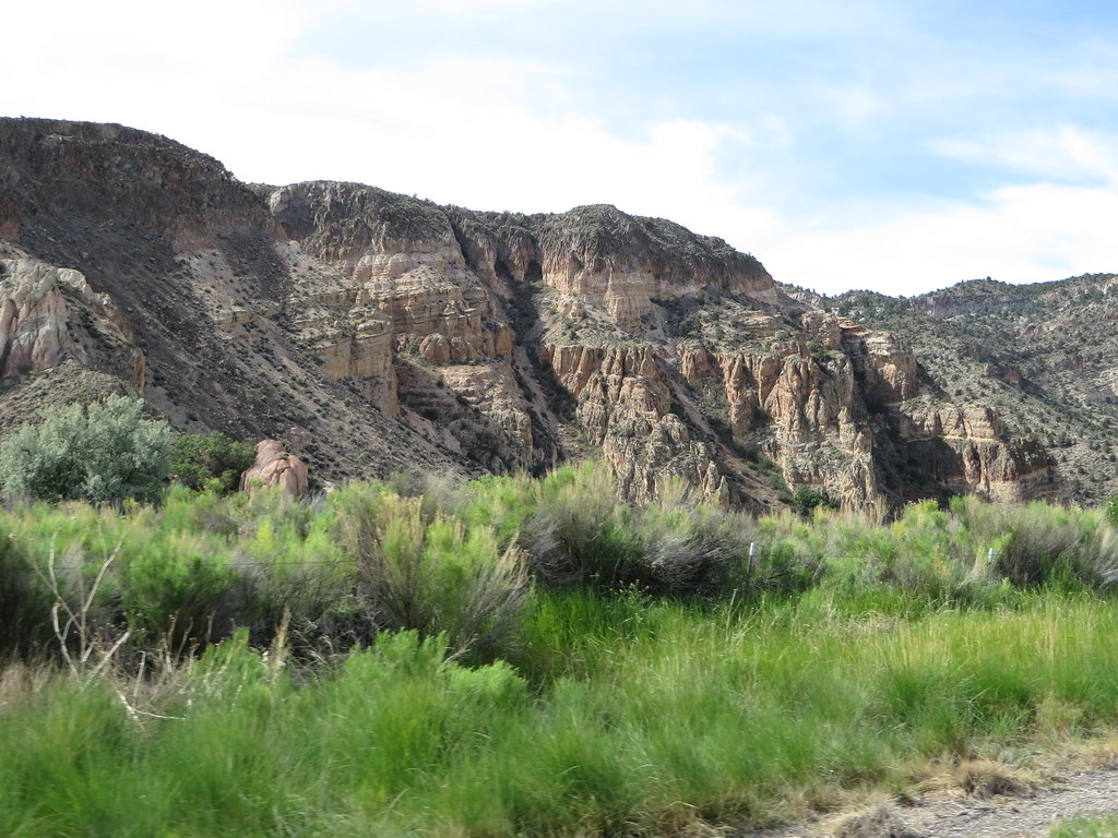 Photo: Ken Lund, CC BY-SA 2.0 (via Flickr)
Canyon Overlook Loop
~1h 7m drive
Easy out-and-back hike to canyon overlook views in Nevada.
HIKE
Death Valley Immigrant Trail
~46 min drive
12.62-mile out-and-back trail in Nevada with 684 ft elevation gain
HIKE
Dead Horse Trail
~1h 2m drive
23.34-mile out-and-back trail in Nevada with 3,186 ft elevation gain.
Photo: Ken Lund, CC BY-SA 2.0 (via Flickr)Black Canyon Trail
Next door
1.49-mile lollipop trail in Nevada with 73 ft elevation gain.
HIKE
Noname Peak Trail
~21 min drive
1.49-mile out-and-back hike to Noname Peak in Nevada with 1,286 ft gain.
HIKE
Red Rhyolite Trail
~55 min drive
14.3-mile out-and-back trail in Nevada with 1,450 ft gain/loss.
HIKE
Connector Trail
~1h 9m drive
18.02-mile out-and-back hike in Nevada with 4,435 ft elevation gain
 Photo: Seth Tisue, CC BY-SA 2.0 (via Flickr)
Pahranagat Loop Trail
~2 min drive
0.38-mile loop trail in Nevada with 10 feet of elevation gain.
HIKE
Path to Tikaboo Peak
~24 min drive
1.28-mile out-and-back trail to Tikaboo Peak in Nevada

Map and trail data © OpenStreetMap contributors
