Path to Tikaboo Peak
- 1.3 mi
- round trip
- 2,101 ft
- climb
- 7,908 ft
- high point
- Out and back
- route
The Path to Tikaboo Peak is a moderate out-and-back hike on Bureau of Land Management land in Nevada's Caliente Field Office, about 1.3 miles long with a total elevation gain of 2,101 feet. The route starts at roughly 7,800 feet and climbs to a high point of 7,908 feet, with the steepest stretch at about 0.5 miles in, where the grade reaches 44 percent. The hike is a short, steep climb. The steepest part comes early, and the trail turns around at the top, so the return is the same as the way up. Plan about two hours for the round trip. Noname Peak Trail lies about 1.7 miles away and makes a natural addition to a day on the land.
Keep exploring — more trails worth the drive
 Photo: Ken Lund, CC BY-SA 2.0 (via Flickr)
Black Canyon Trail
~24 min drive
1.49-mile lollipop trail in Nevada with 73 ft elevation gain.
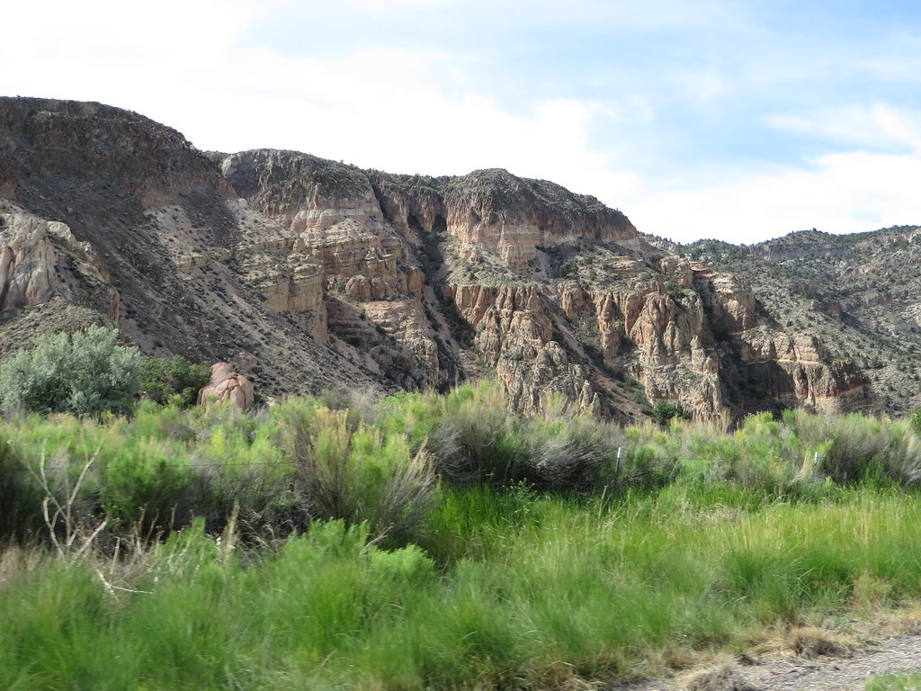 Photo: Ken Lund, CC BY-SA 2.0 (via Flickr)
Canyon Overlook Loop
~1h 24m drive
Easy out-and-back hike to canyon overlook views in Nevada.
HIKE
Death Valley Immigrant Trail
~24 min drive
12.62-mile out-and-back trail in Nevada with 684 ft elevation gain
HIKE
Hidden Forest Trail
~1h 25m drive
9.41-mile out-and-back forest hike in Nevada with moderate elevation gain.
 Photo: Seth Tisue, CC BY-SA 2.0 (via Flickr)
Cabin Trail
~24 min drive
0.46-mile out-and-back trail in Nevada with minimal elevation change.
HIKE
Noname Peak Trail
~3 min drive
1.49-mile out-and-back hike to Noname Peak in Nevada with 1,286 ft gain.
HIKE
Red Rhyolite Trail
~1h 9m drive
14.3-mile out-and-back trail in Nevada with 1,450 ft gain/loss.
HIKE
Dead Horse Trail
~1h 11m drive
23.34-mile out-and-back trail in Nevada with 3,186 ft elevation gain.
Photo: Seth Tisue, CC BY-SA 2.0 (via Flickr)Pahranagat Loop Trail
~24 min drive
0.38-mile loop trail in Nevada with 10 feet of elevation gain.
HIKE
Big Rocks Wilderness Trail
~58 min drive
4.18-mile out-and-back hike in Nevada with 988 ft gain.

Map and trail data © OpenStreetMap contributors
