Noname Peak Trail
- 1.5 mi
- round trip
- 1,375 ft
- climb
- 7,701 ft
- high point
- Out and back
- route
Noname Peak Trail is a 3-mile out-and-back hike on Bureau of Land Management land within the Caliente Field Office in southern Nevada. The route begins at about 6,440 feet and climbs to a high point of 7,701 feet, with a total elevation gain of 1,375 feet. The climb is front-loaded, and the steepest stretch comes at about 0.9 miles, where the grade reaches 35%. The trail is rated moderate and takes about 1.5 hours to complete. It is an out-and-back, so the 1,375 feet of gain is the total for the round trip. The start sits at roughly 6,440 feet, and the trail reaches a peak of about 7,700 feet before returning. For another outing in the area, the Path to Tikaboo Peak lies about 1.7 miles away.
Keep exploring — more trails worth the drive
 Photo: Ken Lund, CC BY-SA 2.0 (via Flickr)
Davenport Trail
~20 min drive
3.41-mile out-and-back hike in Nevada with 65 ft of elevation gain.
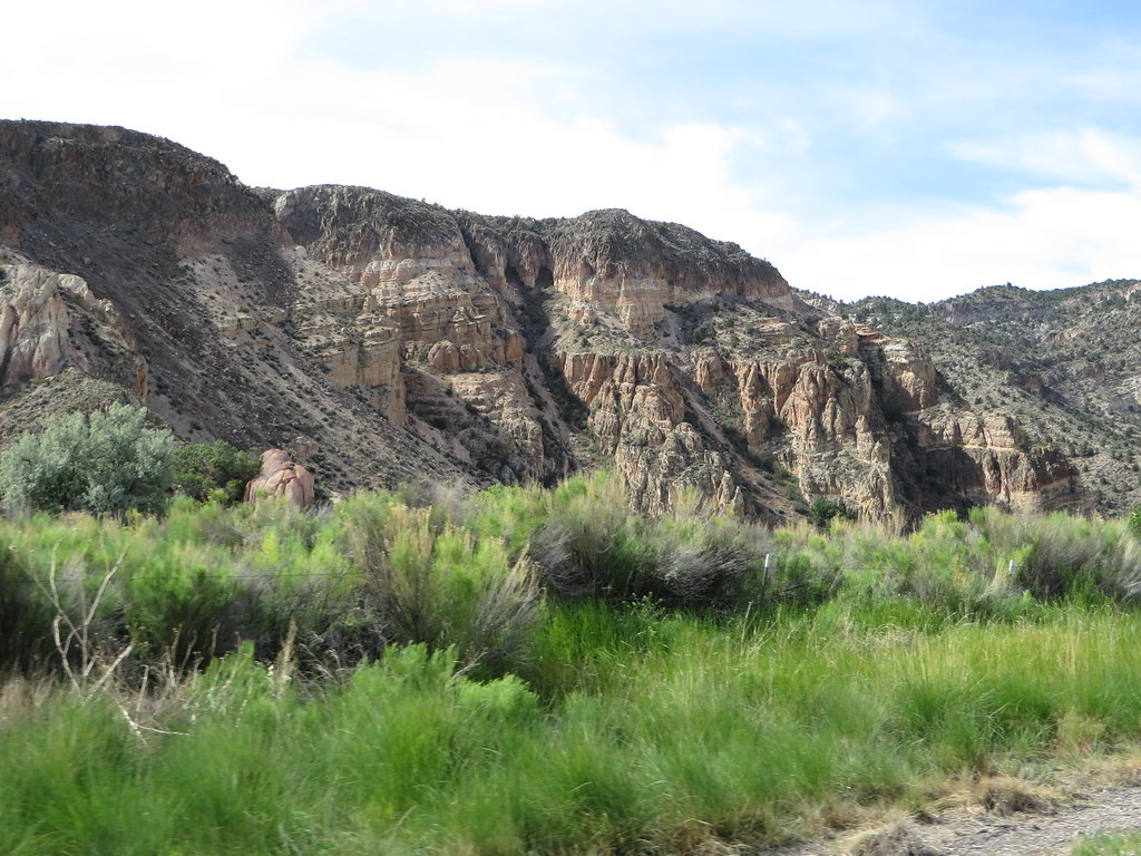 Photo: Ken Lund, CC BY-SA 2.0 (via Flickr)
Canyon Overlook Loop
~1h 22m drive
Easy out-and-back hike to canyon overlook views in Nevada.
HIKE
Death Valley Immigrant Trail
~26 min drive
12.62-mile out-and-back trail in Nevada with 684 ft elevation gain
HIKE
Dead Horse Trail
~1h 9m drive
23.34-mile out-and-back trail in Nevada with 3,186 ft elevation gain.
Photo: Ken Lund, CC BY-SA 2.0 (via Flickr)Upper Lake Trail
~21 min drive
3.67-mile out-and-back hike in Nevada with 27 ft of elevation gain.
HIKE
Path to Tikaboo Peak
~3 min drive
1.28-mile out-and-back trail to Tikaboo Peak in Nevada
HIKE
Red Rhyolite Trail
~1h 7m drive
14.3-mile out-and-back trail in Nevada with 1,450 ft gain/loss.
HIKE
Sawmill Canyon Trail
~1h 19m drive
9.24-mile out-and-back hike in Nevada with 2,185 ft elevation gain and loss.
Photo: Ken Lund, CC BY-SA 2.0 (via Flickr)Black Canyon Trail
~21 min drive
1.49-mile lollipop trail in Nevada with 73 ft elevation gain.
HIKE
Big Rocks Wilderness Trail
~58 min drive
4.18-mile out-and-back hike in Nevada with 988 ft gain.

Map and trail data © OpenStreetMap contributors
