Sawmill Canyon Trail
- 4.6 mi
- round trip
- 2,185 ft
- climb
- 7,568 ft
- high point
- Out and back
- route
- May–Oct
- best months
Sawmill Canyon Trail is a 9.2-mile out-and-back hike on the Desert National Wildlife Range in Nevada, managed by the U.S. Fish and Wildlife Service. The trail is rated expert, and its total climb of about 2,185 feet makes for a long day on foot. The route starts at 5,477 feet and reaches a high point of 7,568 feet, with the steepest stretch coming at about 1.4 miles, where the grade reaches 13%. Summer is the most comfortable time to go. Typical averages from a nearby weather station at a similar elevation put July highs around 79°F with lows near 52°F, while winter highs hover around 44°F with lows in the low 20s. Plan on about four hours for the round trip. The trail works well as a base for other hikes in the area, with North Branch Sawmill Trail about 2.4 miles away and Mule Deer Ridge Trail and Dead Horse Trail each about 6.2 miles away.
Source: Roamze catalog (indexable pages within 10 miles, PostGIS distance)
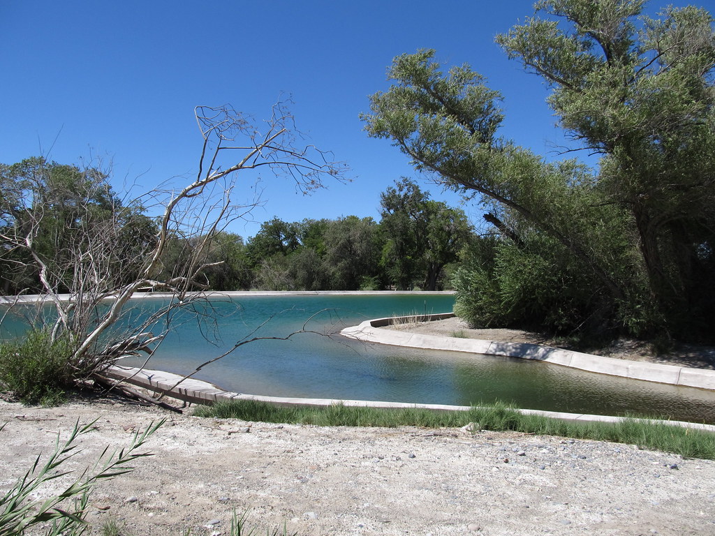 Bighorn Loop TrailHiking · ~39 min drivePhoto: Ken Lund, CC BY-SA 2.0 (via Flickr)
- North Branch Sawmill TrailHiking · ~4 min drive
- Dead Horse TrailHiking · ~11 min drive
- Pine Nut TrailHiking · ~20 min drive
- Coyote Loop TrailHiking · ~39 min drivePhoto: Ken Lund, CC BY-SA 2.0 (via Flickr)
- Aliante LoopHiking · ~46 min drive
- Hidden Forest TrailHiking · ~20 min drive
- Gass Peak TrailHiking · ~32 min drive
- Birdsong Loop TrailHiking · ~39 min drivePhoto: Ken Lund, CC BY-SA 2.0 (via Flickr)
- Arrowhead TrailHiking · ~49 min drive
Best time to visit Sawmill Canyon Trail
Best months: May–October. Best months have typical highs of 55–85 °F, lows of 30 °F or warmer (32 °F where the station doesn't record snow), at most one snowy day and no more than 12 wet days.
Jan
44° / 22°
6 wet
Feb
44° / 22°
6 wet
Mar
49° / 26°
6 wet
Apr
55° / 30°
4 wet
May
63° / 37°
4 wet
Jun
74° / 46°
2 wet
Jul
79° / 52°
5 wet
Aug
78° / 52°
6 wet
Sep
72° / 44°
4 wet
Oct
62° / 35°
3 wet
Nov
51° / 27°
4 wet
Dec
44° / 21°
5 wet
Typical high / low (°F) and days with rain or snow, 1991–2020. Measured at Mt Charleston Fire Stn, NV, 42.9 mi away at 7,460 ft. This station doesn't record snowfall. Source: NOAA NCEI U.S. Climate Normals 1991–2020.

Map and trail data © OpenStreetMap contributors
