Shepherd's Nine
Campground
0.5 mi from the trail
Shenipsit Trail is a 45.8-mile expert-level hike in Connecticut, about a mile from the town of Cobalt. It is a point-to-point route with a steady climb from a starting elevation of 747 feet to a high point of 1,056 feet, and the total elevation gain is 4,495 feet. The most comfortable months for a visit are typically late spring and early fall. Typical averages from a nearby weather station in Hartford run from highs around 71°F in May to about 76°F in September, and the station sits roughly 1,000 feet lower than the trail's high point, so temperatures on the route run cooler. Bikes and horses are not allowed on this trail. Shepherd's Nine campground is about half a mile away, and the Reservoir Loop Trail and Shenipsit are both within about 3.5 miles. Climbers can find Hurd Park about 4 miles off.
Near: Middletown
Best months: April–October. Best months have typical highs of 55–85 °F, lows of 30 °F or warmer (32 °F where the station doesn't record snow), at most one snowy day and no more than 12 wet days.
Jan
37°
20°
10 wet
Feb
39°
22°
9 wet
Mar
48°
30°
11 wet
Apr
60°
40°
11 wet
May
71°
50°
12 wet
Jun
80°
60°
11 wet
Jul
85°
66°
11 wet
Aug
83°
64°
10 wet
Sep
76°
56°
10 wet
Oct
64°
44°
11 wet
Nov
52°
35°
10 wet
Dec
42°
26°
11 wet
Typical high / low (°F) and days with rain or snow, 1991–2020. Measured at Hartford Brainard Fld, CT, 11.9 mi away at 19 ft. The station sits about 1,000 ft lower than this place, so expect it a little cooler here. This station doesn't record snowfall. Source: NOAA NCEI U.S. Climate Normals 1991–2020.
Been here? Tell people how it was.
 Reservoir Loop TrailHikingPhoto: TowersGolde, CC BY-SA 4.0 (via Wikimedia Commons)3.4 mi
 Scovill Northern LoopHikingPhoto: bellemarematt, CC BY-SA 2.0 (via Flickr)3.9 mi
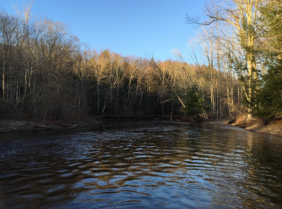 Salmon RiverCanoeingPhoto: J. G. Coleman, CC BY-SA 4.0 (via Wikimedia Commons)6.6 miReservoir Loop TrailHikingPhoto: TowersGolde, CC BY-SA 4.0 (via Wikimedia Commons)~6 min driveScovill Northern LoopHikingPhoto: bellemarematt, CC BY-SA 2.0 (via Flickr)~7 min driveScovill Southern LoopHikingPhoto: bellemarematt, CC BY-SA 2.0 (via Flickr)~7 min driveBear Hill TrailHikingPhoto: bellemarematt, CC BY-SA 2.0 (via Flickr)~8 min drive
 Seven Falls TrailHikingPhoto: bellemarematt, CC BY-SA 2.0 (via Flickr)~9 min drive
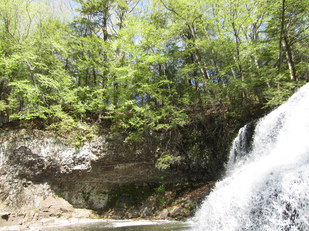 Bridge TrailHikingPhoto: clembore, CC BY-SA 2.0 (via Flickr)~12 min drive
 White Birch TrailHikingPhoto: clembore, CC BY-SA 2.0 (via Flickr)~12 min driveCedar Loop TrailHikingPhoto: clembore, CC BY-SA 2.0 (via Flickr)~13 min driveLittle Falls TrailHikingPhoto: clembore, CC BY-SA 2.0 (via Flickr)~13 min driveMain TrailHikingPhoto: clembore, CC BY-SA 2.0 (via Flickr)~13 min drive
Daily highs and lows, wind and the chance of precipitation at Start for the next 7 days, from the Open-Meteo model.
Questions about Shenipsit Trail: conditions, access, timing. Answers say when something isn't known.
Shepherd's Nine
Campground
 If it rainsJoe Mabel, CC BY-SA 3.0 · Wikimedia Commons
Davison Art Center
Gallery
University art museum in Middletown, Connecticut
Places © OpenStreetMap contributors, Places © Overture Maps Foundation · Photos: Joe Mabel, CC BY-SA 3.0 (commons)
More in MiddletownMap and trail data © OpenStreetMap contributors
