Camp Farnam
Campground
Campground · 4.2 mi from the trail
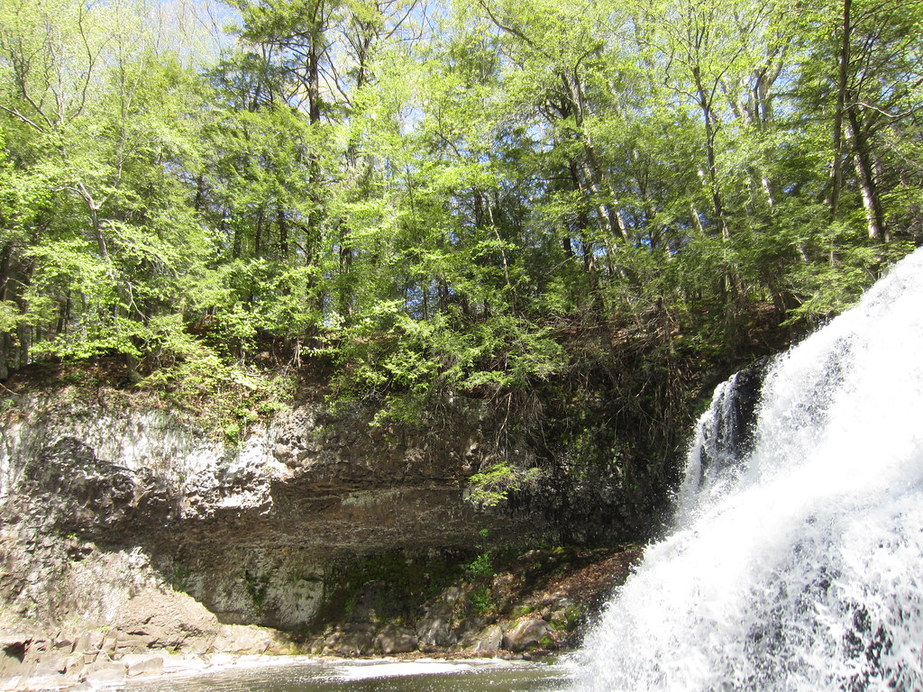 Photo: clembore, CC BY-SA 2.0 (via Flickr)
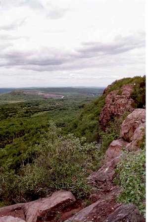
Bridge Trail is a short, easy hike in Connecticut, about 0.4 miles from Long Hill Estates. The route is a point-to-point walk of roughly 0.37 miles, with a low point of 105 feet and a high of 184 feet. The climb is gentle, with a total gain of 55 feet and a steepest stretch of about 10% grade at the start. Late spring and early fall are the most comfortable times to go. Typical averages from a nearby weather station in Meriden run to highs around 70°F in May and 75°F in September, while July highs average about 84°F. The trip takes about half an hour. White Birch Trail lies about 0.4 miles away, and Little Falls Trail and Main Trail are each about 0.7 miles off. For climbing, Chauncey Peak is about 4.2 miles away.
Camp Farnam
Campground
Sliders Grill & Bar
Pub
 If it rainsJoe Mabel, CC BY-SA 3.0 · Wikimedia Commons
Davison Art Center
Gallery
University art museum in Middletown, Connecticut
Places © OpenStreetMap contributors · Photos: Joe Mabel, CC BY-SA 3.0 (commons)
More in MiddletownBest months: April and June–October. Best months have typical highs of 55–85 °F, lows of 30 °F or warmer (32 °F where the station doesn't record snow), at most one snowy day and no more than 12 wet days.
Jan
37° / 19°
10 wet
Feb
39° / 20°
9 wet
Mar
47° / 28°
10 wet
Apr
60° / 38°
11 wet
May
70° / 48°
13 wet
Jun
79° / 57°
12 wet
Jul
84° / 63°
12 wet
Aug
82° / 61°
12 wet
Sep
75° / 54°
11 wet
Oct
64° / 42°
12 wet
Nov
52° / 32°
10 wet
Dec
42° / 24°
11 wet
Typical high / low (°F) and days with rain or snow, 1991–2020. Measured at Meriden Markham Muni Ap, CT, 7.7 mi away at 103 ft. This station doesn't record snowfall. Source: NOAA NCEI U.S. Climate Normals 1991–2020.
 Photo: clembore, CC BY-SA 2.0 (via Flickr)
White Birch Trail
Next door
0.50-mile point-to-point trail in Connecticut with 28 ft gain and 95 ft loss.
HIKE
Shenipsit Trail
~12 min drive
A 45.78-mile point-to-point trail across central Connecticut.
Photo: clembore, CC BY-SA 2.0 (via Flickr)Cedar Loop Trail
~1 min drive
Easy 1-mile point-to-point woodland walk through Connecticut cedar forest.
Photo: clembore, CC BY-SA 2.0 (via Flickr)Little Falls Trail
~1 min drive
Short point-to-point trail leading to a scenic Connecticut waterfall.
Photo: clembore, CC BY-SA 2.0 (via Flickr)Main Trail
~1 min drive
Main Trail is a 1.63-mile point-to-point trail in Connecticut.
Photo: clembore, CC BY-SA 2.0 (via Flickr)Laurel Grove Brook Trail
~2 min drive
Short point-to-point brook walk through Connecticut forest.
 Photo: daveclausen, CC BY 2.0 (via Flickr)
Blue-Red Trail
~4 min drive
0.83-mile point-to-point trail in Connecticut with 186 ft of elevation gain.
 Photo: TowersGolde, CC BY-SA 4.0 (via Wikimedia Commons)
Reservoir Loop Trail
~7 min drive
Scenic 1.69-mile point-to-point trail around Connecticut reservoir.
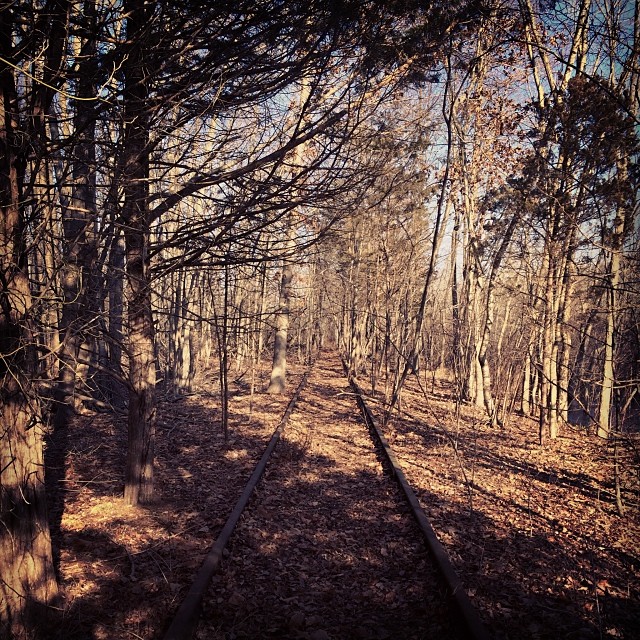 Photo: supa_pedro, CC BY 2.0 (via Flickr)
White Trail
~7 min drive
Easy 1.2-mile point-to-point trail in Connecticut.
 Photo: christinejwarner, CC BY 2.0 (via Flickr)
Red Trail
~8 min drive
A short point-to-point trail under a mile in Connecticut.
Map and trail data © OpenStreetMap contributors