North Fork Falls
At a glance
North Fork Falls is a waterfall in Wyoming's Teton Wilderness, within the Blackrock Ranger District of the Bridger-Teton National Forest. The Forest Service manages the land, and the nearest town is Moran, about 21.5 miles away. The falls sit at roughly 8,225 feet. Summer is the most comfortable time to visit. Typical averages from a nearby weather station in Moran show July highs around 77°F with lows near 42°F, and snow is common from November through April. That station sits about 1,420 feet lower than the falls, so temperatures at the falls run cooler. Several trails lie within a few miles. The North Buffalo Fork Trail is about 3.6 miles away, and the Pacific Creek Trail and Soda Fork Trail are both within about 5 miles. Paddlers can find Pacific Creek about 8.5 miles off.
- elevation
- 8,225 ft
- managed by
- Forest Service
- best months
- Jun–Sep
Where it is: Teton Wilderness · Blackrock Ranger District
Near: Kelly
Best time to visit North Fork Falls
Best months: June–September. Best months have typical highs of 55–85 °F, lows of 30 °F or warmer (32 °F where the station doesn't record snow), at most one snowy day and no more than 12 wet days.
Jan
24°
1°
14 wet · 14 snow
Feb
30°
4°
12 wet · 11 snow
Mar
39°
12°
12 wet · 9 snow
Apr
46°
21°
12 wet · 6 snow
May
56°
31°
12 wet · 2 snow
Jun
67°
37°
10 wet
Jul
77°
42°
8 wet
Aug
76°
40°
8 wet
Sep
66°
34°
8 wet
Oct
51°
25°
9 wet · 3 snow
Nov
35°
14°
12 wet · 9 snow
Dec
24°
4°
15 wet · 14 snow
Typical high / low (°F) and days with rain or snow, 1991–2020. Measured at Moran 5wnw, WY, 24.9 mi away at 6,805 ft. The station sits about 1,400 ft lower than this place, so expect it a little cooler here. Source: NOAA NCEI U.S. Climate Normals 1991–2020.
Been here? Tell people how it was.
Route to North Fork Falls
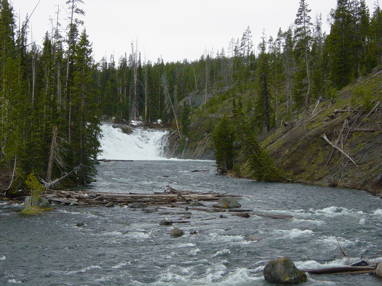 Lewis FallsWaterfallPhoto: No machine-readable author provided. MONGO assumed (based on copyright claims)., Public domain (via Wikimedia Commons)~56 min drive
 Hidden FallsWaterfallPhoto: G. Edward Johnson, CC BY 3.0 (via Wikimedia Commons)~1h drive
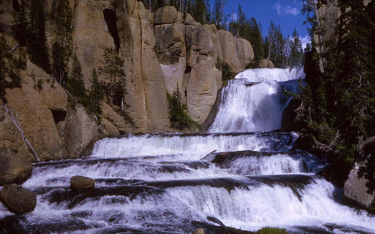 Terraced FallsWaterfallPhoto: RG Johnsson, Public domain (via Wikimedia Commons)~1h 7m drive
 Shoshoko FallsWaterfallPhoto: National Park Service, CC BY-SA 4.0 (via Wikimedia Commons)~1h 7m drive
 Union FallsWaterfallPhoto: Metrodyne, CC BY-SA 3.0 (via Wikimedia Commons)~1h 9m drive
 Iris FallsWaterfallPhoto: Metrodyne, CC BY-SA 3.0 (via Wikimedia Commons)~1h 17m drive
 Colonnade FallsWaterfallPhoto: Metrodyne, CC BY-SA 3.0 (via Wikimedia Commons)~1h 17m drive
 Bechler FallsWaterfallPhoto: R. G. Johnsson, Public domain (via Wikimedia Commons)~1h 19m drive
 Moose FallsWaterfallPhoto: J. Schmidt, Public domain (via Wikimedia Commons)~51 min drive
- Lake Fork FallsWaterfall~15 min drive
Conditions and forecast
Caution at last checkAgency alerts are in effect for this areaUSFS · checked 16 h agoDaily highs and lows, wind and the chance of precipitation at North Fork Falls for the next 7 days, from the Open-Meteo model.
Ask about this place
Questions about North Fork Falls: conditions, access, timing. Answers say when something isn't known.
