

The Virginian RV Park
Hiking business nearby (~47 mi away) — hasn't claimed their Roamze page yet
Free — you'll pick up right here.
Watch this trail
Sign up to watch it — saving subscribes you to gate, closure and report changes.
Wyoming
20.7 mi
Distance
2,240 ft
Gain
8h 1m
Time
We won't guess. Here is exactly what we do and don't know.
What we do know
Inside Bridger-Teton National Forest
3 managing-area boundaries mapped — agency alerts for them feed this page automatically.
Boundary data
What's missing
No access route mapped
We don't yet know which road reaches this trailhead, so we can't tell you if it's gated.
Nobody's filed a report here yet — be the first.
Why you'll love it
Soda Fork Trail
AI-suggested draft · review before you go
No permit or access details on file for this trail — check with the local land manager before you go.
Soda Fork Trail is a 20.7-mile out-and-back hiking route located in Wyoming. The trail offers hikers an extended backcountry experience with the flexibility of turnaround options at various points along the route. As an out-and-back trail, hikers can adjust their distance and commitment based on fitness level and available time, making it accessible to those seeking either a shorter day hike or a more ambitious full-distance trek. The trail's length makes it suitable for experienced hikers prepared for a full day of hiking. The out-and-back format means hikers retrace their steps on the return journey, allowing for consistent footing and familiar terrain on the way back. Soda Fork Trail provides access to the Wyoming backcountry landscape. Hikers should come prepared with adequate water, sun protection, and navigation tools. Given the trail's distance, an early start and proper conditioning are recommended.

Lake Creek
~8 min drive
11 mi · Hard

Angles Trail
~16 min drive
5.2 mi · Moderate

Rainbow Lake Trail
~16 min drive
0.7 mi · Easy
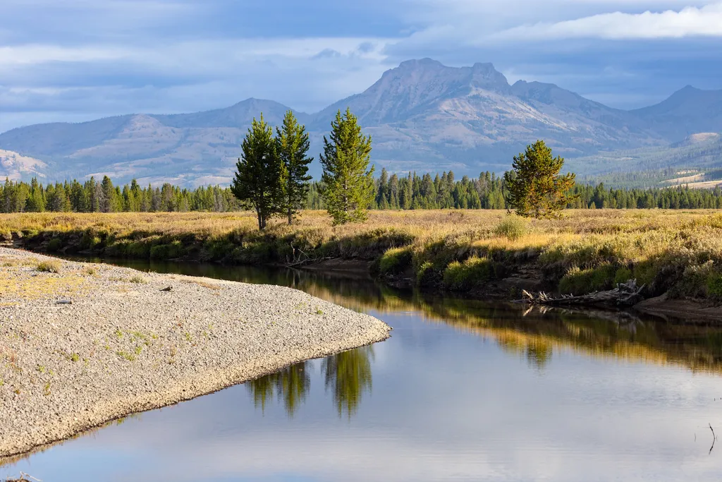
Thorofare Trailhead (6K2)
~25 min drive
<p>This is a remote trailhead at the eastern boundary of the park that is not accessible by road. From this trailhead, you can embark on the following trail within the park:</p> <ul> <li>Thorofare Trail</li> <li>Hawk's Lake Trail</li> <li>Thorofare–South Boundary Cutoff Trail<…

North Buffalo Fork Trail
~12 min drive
20 mi · Hard
Eno Lake Trail
~18 min drive
3.5 mi · Moderate
Turpin Meadows Xc-Willows
~19 min drive
1.9 mi · Easy
South Fork
~14 min drive
3.5 mi · Hard
Turpin Meadows Xc-Back 40
~18 min drive
5.3 mi · Moderate
Turpin Meadows Xc-Riverside
~19 min drive
1.8 mi · Easy
Local operatorsoffering guided trips. You book directly with them — Roamze doesn’t take a cut.
The Virginian RV Park
Hiking business nearby (~47 mi away) — hasn't claimed their Roamze page yet