
The Virginian RV Park
Hiking business nearby (~49 mi away) — hasn't claimed their Roamze page yet
Free — you'll pick up right here.
Save this plan
Sign up to save your own editable copy — you'll pick up right here.
Wyoming
8.3 mi
Distance
312 ft
Gain
2h 55m
Time
No conditions check on file for this trail yet — always verify current conditions before you go.
Why you'll love it
Pacific Creek Trail
AI-suggested draft · review before you go
No permit or access details on file for this trail — check with the local land manager before you go.
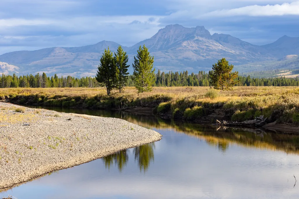
Pacific Creek Trail is an 8.3-mile out-and-back route located in Wyoming. The trail offers hikers a moderate day hike experience with reasonable distance for most fitness levels. This Wyoming trail provides access to the natural landscape characteristic of the region. The out-and-back format allows hikers to turn around at their preferred point, making it flexible for those wanting shorter excursions or full-distance adventures. The trail is suitable for hikers seeking a half-day outing without extreme technical difficulty. Its proximity to Wyoming communities makes it accessible for both local explorers and visitors to the area. Pacific Creek Trail serves as a straightforward hiking option for those looking to explore Wyoming's terrain. The 8.3-mile distance can typically be completed in 3-4 hours depending on pace and conditions. This trail works well for hikers wanting to experience the region without committing to a full multi-day backpacking trip.

North Buffalo Fork Trail
~7 min drive
20 mi · Hard
Thorofare Trailhead (6K2)
~14 min drive
<p>This is a remote trailhead at the eastern boundary of the park that is not accessible by road. From this trailhead, you can embark on the following trail within the park:</p> <ul> <li>Thorofare Trail</li> <li>Hawk's Lake Trail</li> <li>Thorofare–South Boundary Cutoff Trail<…

Angles Trail
~25 min drive
5.2 mi · Moderate
Thorofare Cabin Trail
~15 min drive
2.5 mi · Easy

Mink Creek Trail
~11 min drive
15 mi · Hard
Bridger Lake Trailhead (6K4)
~13 min drive
<p>This is a remote trailhead at the eastern boundary of the park that is not accessible by road. From this trailhead, you can embark on the following trail within the park:</p> <ul> <li>Yellowstone Meadows Cutoff Trail- Thorofare Trail</li> <li>Hawk's Lake Trail</li> <li>Thor…
Eno Lake Trail
~8 min drive
3.5 mi · Moderate
Turpin Meadows Xc-Riverside
~23 min drive
1.8 mi · Easy

Soda Fork Trail
~16 min drive
21 mi · Hard
Hawks Rest Trailhead (6K5)
~14 min drive
<p>This is a remote trailhead at the eastern boundary of the park that is not accessible by road. From this trailhead, you can embark on the following trail within the park:</p> <ul> <li>Thorofare Trail</li> <li>Hawk's Lake Trail</li> <li>Thorofare–South Boundary Cutoff Trail<…
Also worth it near here
Local operatorsoffering guided trips. You book directly with them — Roamze doesn’t take a cut.
The Virginian RV Park
Hiking business nearby (~49 mi away) — hasn't claimed their Roamze page yet