Thorofare Trailhead (6K2)
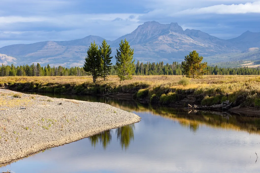 Photo: NPS / public domain
- Jun–Aug
- best months
Is Thorofare Trailhead (6K2) open right now?
No closures listed
The Forest Service lists no closures for Bridger-Teton National Forest.
As of · Source: USFS · Bridger-Teton National Forest. Agencies don't list every closure — check before you go.
This is a remote trailhead at the eastern boundary of the park that is not accessible by road. From this trailhead, you can embark on the following trail within the park: Thorofare Trail Hawk's Lake Trail Thorofare–South Boundary Cutoff Trail
Local outfitters
- Swift Creek Outfitters23 mi away
Not on Roamze yet. Their page has how to reach them.
- Nearby · Mountain Creek Trail · Hawk's Lake Trail · Hawks Rest Trailhead (6K5)
Best time to go · Jun–Aug
Best time to visit Thorofare Trailhead (6K2)
Best months: June–August. Best months have typical highs of 55–85 °F, lows of 30 °F or warmer (32 °F where the station doesn't record snow), at most one snowy day and no more than 12 wet days.
Jan
30° / 4°
Feb
32° / 6°
Mar
39° / 11°
Apr
47° / 22°
May
57° / 30°
Jun
67° / 35°
Jul
78° / 39°
Aug
77° / 37°
Sep
67° / 31°
Oct
51° / 23°
Nov
37° / 13°
Dec
28° / 5°
Typical high / low (°F) and days with rain or snow, 1991–2020. Measured at Yellowstone Np E Ent, WY, 24.8 mi away at 6,954 ft. The station sits about 900 ft lower than this place, so expect it a little cooler here. This station doesn't record snowfall. Source: NOAA NCEI U.S. Climate Normals 1991–2020.
Keep exploring — more trails worth the drive
HIKE
Mountain Creek Trail
~18 min drive
12.91-mile out-and-back trail in Wyoming with 836 ft of elevation gain.
HIKE
Hawk's Lake Trail
Next door
Short out-and-back hike to a scenic alpine lake in Wyoming.
HIKE
Hawks Rest Trailhead (6K5)
~1 min drive
This is a remote trailhead at the eastern boundary of the park that is not accessible by road. From this trailhead, you can embark on the following trail within the park: Thorofare Trail Hawk's Lake Trail Thorofare–South Boundary Cutoff Trail
HIKE
Hidden Creek
~11 min drive
5.15-mile out-and-back trail in Wyoming with 303 ft elevation gain.
HIKE
Woodard Canyon Trail
~19 min drive
11.35-mile out-and-back hike in Wyoming with 2,411 ft gain.
HIKE
Thorofare River Trail
~2 min drive
24-mile out-and-back trail in Wyoming with 493 ft elevation gain.
HIKE
Hawk's Lake Trail
~1 min drive
1.9-mile out-and-back hike at 7,882 ft elevation in Wyoming.
HIKE
Bridger Lake Trailhead (6K4)
~3 min drive
This is a remote trailhead at the eastern boundary of the park that is not accessible by road. From this trailhead, you can embark on the following trail within the park: Yellowstone Meadows Cutoff Trail- Thorofare Trail Hawk's Lake Trail Thorofare–South Boundary Cutoff…
HIKE
Thorofare Trail
~16 min drive
5.62-mile out-and-back hike in Wyoming with 455 ft elevation gain and loss.
HIKE
Yellowstone River Trail
~5 min drive
47.48-mile out-and-back trail in Wyoming with 2,170 ft elevation gain.
