
The Virginian RV Park
Hiking business nearby (~43 mi away) — hasn't claimed their Roamze page yet
Free — you'll pick up right here.
Save this plan
Sign up to save your own editable copy — you'll pick up right here.
Wyoming
9.6 mi
Distance
855 ft
Gain
3h 38m
Time
No conditions check on file for this trail yet — always verify current conditions before you go.
Why you'll love it
Divide Lake Trail
AI-suggested draft · review before you go
No permit or access details on file for this trail — check with the local land manager before you go.
Divide Lake Trail is a 9.6-mile out-and-back hike located in Wyoming. This trail offers hikers a moderate distance option for exploring the natural landscape of the region. The out-and-back format means you'll retrace your route on the return journey, covering approximately 19.2 miles of total walking distance. The trail provides access to Divide Lake, making it a worthwhile destination for those seeking alpine or mountain scenery. This route is suitable for hikers with moderate experience who are comfortable with nearly 10 miles of hiking in one direction. Trail conditions and specific seasonal considerations should be verified before your visit, as weather patterns and snow melt can significantly impact accessibility and difficulty in Wyoming's mountain terrain. Spring and summer typically offer the most favorable hiking conditions in this region. For the most current information about trail maintenance, parking, and any access restrictions, check with local Wyoming land management agencies or visitor centers before planning your trip.

North Buffalo Fork Trail
~4 min drive
20 mi · Hard

Angles Trail
~14 min drive
5.2 mi · Moderate

Rainbow Lake Trail
~24 min drive
0.7 mi · Easy
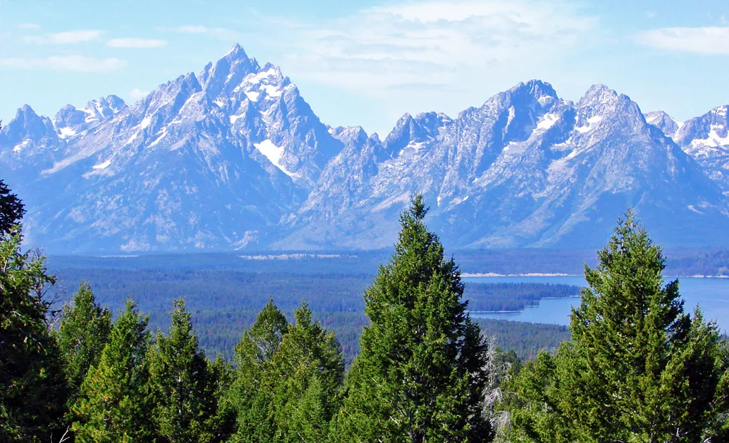
East Boundary Turnout
~25 min drive
<p>Stop and grab a photo with the iconic wooden "Grand Teton National Park" sign at our eastern boundary and enjoy some of your first views of the Teton Mountain Range. For visitors driving in from places like Dubois, Lander, and Riverton, this is where you will first cross in…

Mink Creek Trail
~12 min drive
15 mi · Hard
Eno Lake Trail
~8 min drive
3.5 mi · Moderate
Turpin Meadows Xc-Riverside
~11 min drive
1.8 mi · Easy
Snake River / Fox Creek Trailhead (6K3)
~24 min drive
<p>This is a remote trailhead at the eastern boundary of the park that is not accessible by road. From this trailhead, you can embark on the following trail within the park:</p> <ul> <li>South Boundary Trail: Lynx Creek</li> <li>Fox Creek Trail</li> <li>South Boundary Trail: H…

Soda Fork Trail
~12 min drive
21 mi · Hard
Turpin Meadows Xc-Back 40
~11 min drive
5.3 mi · Moderate
Local operatorsoffering guided trips. You book directly with them — Roamze doesn’t take a cut.
The Virginian RV Park
Hiking business nearby (~43 mi away) — hasn't claimed their Roamze page yet