South Fork
Campground
Campground · 1.0 mi from the trail
 Photo: National Park Service, CC BY-SA 4.0 (via Wikimedia Commons)
Alert in the area
The National Park Service lists 2 alerts for Grand Teton National Park.
Construction in the South End of the Park
Park alert covering Grand Teton National Park · NPS · Grand Teton National Park
Construction on HWY 26/89/191
Park alert covering Grand Teton National Park · NPS · Grand Teton National Park
As of · Source: NPS · Grand Teton National Park. Agencies don't list every closure — check before you go.
Shoshoko Falls is a waterfall in Grand Teton National Park in Teton County, Wyoming, sitting at about 9,031 feet. The National Park Service manages the land, and the nearest town is Teton Village, about 8 miles away. Avalanche Canyon, a climbing area, is about half a mile away, and Garnet Canyon Meadows is about 1.3 miles off. The South-Middle Saddle Trail and the Avalanche Divide Trail are both within about 2 miles.
South Fork
Campground
Places © OpenStreetMap contributors
More in JacksonElevation from USGS 3D Elevation Program terrain data (about 10 m resolution).
 Avalanche CanyonRock climbingPhoto: Eugene Crosser, CC BY 3.0 (via Wikimedia Commons)0.5 mi
 Avalanche Divide TrailHikingPhoto: Public domain (via Wikimedia Commons)1.7 mi
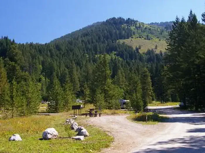 Teton CanyonCampingPhoto: Recreation.gov (RIDB) / public domain6.7 mi
Source: Roamze catalog (indexable pages within 10 miles, PostGIS distance)
 Colonnade FallsWaterfall · ~1h 4m drivePhoto: Metrodyne, CC BY-SA 3.0 (via Wikimedia Commons)
 Lower Mesa FallsWaterfall · ~1h 11m drivePhoto: Dschwen, CC BY-SA 4.0 (via Wikimedia Commons)
 Hidden FallsWaterfall · ~8 min drivePhoto: G. Edward Johnson, CC BY 3.0 (via Wikimedia Commons)
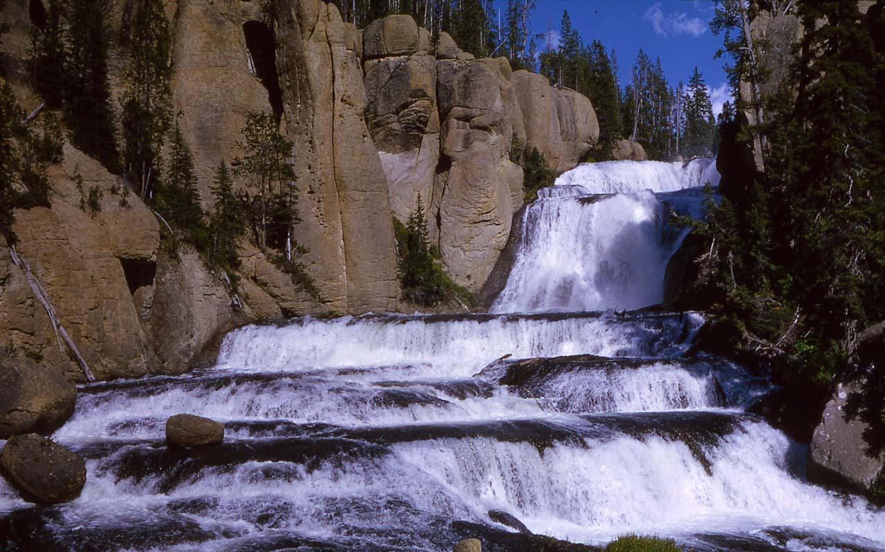 Terraced FallsWaterfall · ~52 min drivePhoto: RG Johnsson, Public domain (via Wikimedia Commons)
 Moose FallsWaterfall · ~54 min drivePhoto: J. Schmidt, Public domain (via Wikimedia Commons)
 Bechler FallsWaterfall · ~55 min drivePhoto: R. G. Johnsson, Public domain (via Wikimedia Commons)
 Union FallsWaterfall · ~58 min drivePhoto: Metrodyne, CC BY-SA 3.0 (via Wikimedia Commons)
 Iris FallsWaterfall · ~1h 4m drivePhoto: Metrodyne, CC BY-SA 3.0 (via Wikimedia Commons)
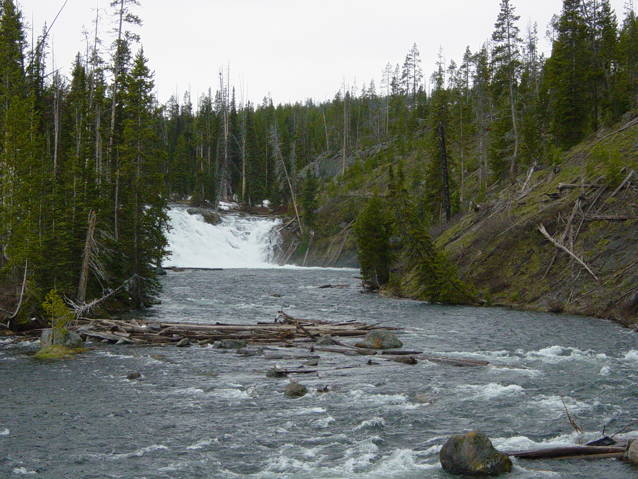 Lewis FallsWaterfall · ~1h 8m drivePhoto: No machine-readable author provided. MONGO assumed (based on copyright claims)., Public domain (via Wikimedia Commons)
Also worth it near here
Avalanche CanyonRock climbing · Next doorPhoto: Eugene Crosser, CC BY 3.0 (via Wikimedia Commons) Nez PerceSummit · ~1 min drivePhoto: Acroterion, CC BY-SA 4.0 (via Wikimedia Commons)Avalanche Divide TrailHiking · ~3 min drivePhoto: Public domain (via Wikimedia Commons)
