Rio Vallecitos
At a glance
Rio Vallecitos is a canoeing route in the El Rito Ranger District of Carson National Forest in New Mexico, about 33 miles away. The Forest Service manages the land. Summer is the most comfortable time to paddle. Typical averages from a nearby weather station show July highs around 81°F with lows near 48°F. That station sits about 1,400 feet lower than the route, so temperatures on the water run cooler. The El Rito climbing area is about 4.6 miles away, and the El Rito Traditional Area is about 9.7 miles off. Middle Canjilon Lakes Campground is about 9.8 miles away, and the Cdt - New Mexico Section hike is about 7.4 miles away.
- distance
- 33.0 mi
- high point
- 9,525 ft
- best months
- May–Sep
Where it is: El Rito Ranger District · Carson National Forest
Near: Ojo Caliente
Best time to visit Rio Vallecitos
Best months: May–September. Best months have typical highs of 55–85 °F, lows of 30 °F or warmer (32 °F where the station doesn't record snow), at most one snowy day and no more than 12 wet days.
Jan
38°
8°
Feb
41°
12°
Mar
50°
20°
Apr
59°
26°
May
66°
33°
Jun
79°
43°
Jul
81°
48°
Aug
78°
47°
Sep
72°
40°
Oct
62°
29°
Nov
48°
18°
Dec
38°
10°
Typical high / low (°F) and days with rain or snow, 1991–2020. Measured at Tres Piedras, NM, 12.2 mi away at 8,139 ft. The station sits about 1,400 ft lower than this place, so expect it a little cooler here. This station doesn't record snowfall. Source: NOAA NCEI U.S. Climate Normals 1991–2020.
Been here? Tell people how it was.
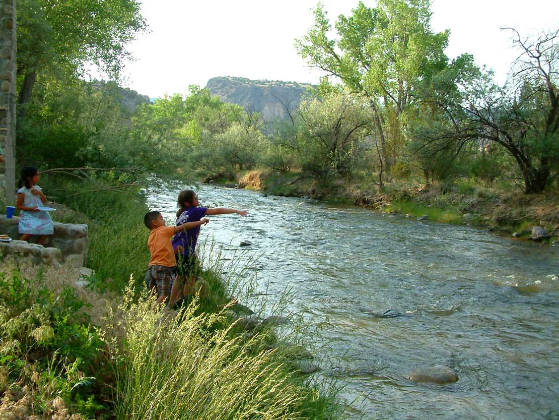 Embudo CreekCanoeingPhoto: Carptrash, CC BY-SA 3.0 (via Wikimedia Commons)~55 min drive
- John Dunn Bridge Boat LaunchBoat launch~43 min drive
 Red RiverCanoeingPhoto: Billy Hathorn at en.wikipedia, CC BY-SA 3.0 (via Wikimedia Commons)~1h 3m drive
- Lone Juniper Boat TakeoutBoat launch~47 min drive
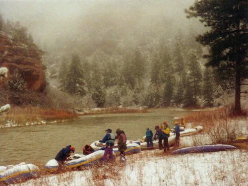 Rio ChamaCanoeingPhoto: Public domain (via Wikimedia Commons)~1h 4m drive
- County Line Boat LaunchBoat launch~48 min drive
 Santa Cruz RiverCanoeingPhoto: Dicklyon, CC BY-SA 4.0 (via Wikimedia Commons)~1h 9m drive
- Taos Junction Bridge Boat LaunchBoat launch~48 min drive
 Conejos RiverCanoeingPhoto: JustTooLazy, CC BY 2.0 (via Wikimedia Commons)~1h 16m drive
- Quartzite Boat LaunchBoat launch~48 min drive
Conditions and forecast
Caution at last checkAgency alerts are in effect for this areaUSFS · checked 19 h agoDaily highs and lows, wind and the chance of precipitation at Start for the next 7 days, from the Open-Meteo model.

Ask about this place
Questions about Rio Vallecitos: conditions, access, timing. Answers say when something isn't known.
