Lone Juniper Campground
Campground
Campground · < 0.1 mi from the trail
Lone Juniper Boat Takeout is a boat launch on Bureau of Land Management land within the Taos Field Office in northern New Mexico, about 7 miles from the community of Picuris Pueblo. It serves as a takeout point for boaters, and its location close to town makes it an easy stop for paddlers heading out on the water in this corner of the state. For comfortable weather, late spring and early fall are the best bets. Typical averages from the nearby Taos weather station show May highs around 73°F and September highs around 78°F, while July and August run hotter, with highs in the mid-80s and more frequent wet days. Several other outdoor spots sit within a few miles. The Petaca Point Trail is less than a mile away, and the Pilar Area Bouldering climbing area is about 1.2 miles off. The Coman Che Trail and the Sediment Trail are both within about 2.5 miles.
Lone Juniper Campground
Campground
Poco Loco
Restaurant
 If it rainsKhlnmusa, CC BY-SA 3.0 · Wikimedia Commons
Places © OpenStreetMap contributors · Photos: Khlnmusa, CC BY-SA 3.0 (commons)
More in Arroyo Seco Sediment TrailHikingPhoto: Marge6914, CC BY-SA 3.0 (via Wikimedia Commons)2.5 mi
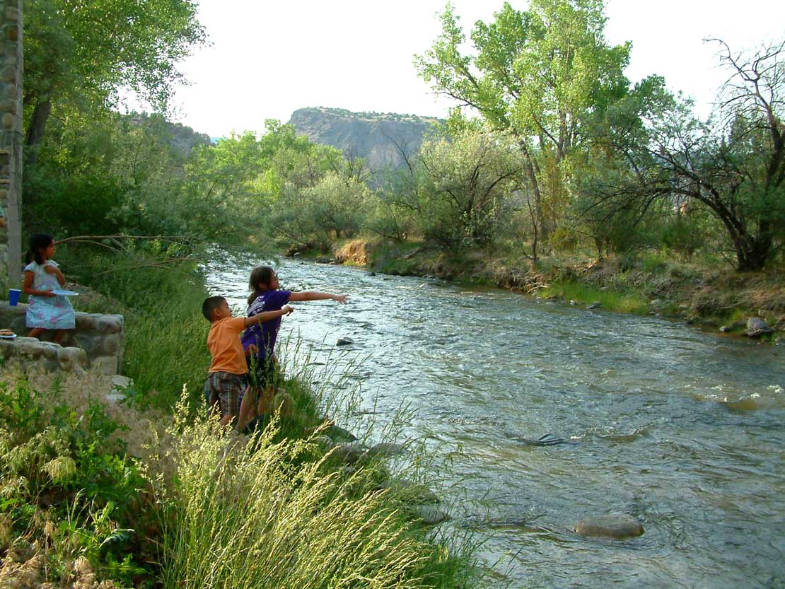 Embudo CreekCanoeingPhoto: Carptrash, CC BY-SA 3.0 (via Wikimedia Commons)8 mi
Source: Roamze catalog (indexable pages within 10 miles, PostGIS distance)
Embudo CreekCanoeing · ~14 min drivePhoto: Carptrash, CC BY-SA 3.0 (via Wikimedia Commons) Santa Cruz RiverCanoeing · ~42 min drivePhoto: Dicklyon, CC BY-SA 4.0 (via Wikimedia Commons)
 Red RiverCanoeing · ~52 min drivePhoto: Billy Hathorn at en.wikipedia, CC BY-SA 3.0 (via Wikimedia Commons)
 Costilla CreekCanoeing · ~1h 22m drivePhoto: Jeffrey Beall, CC BY 4.0 (via Wikimedia Commons)
Best months: May–June and August–October. Best months have typical highs of 55–85 °F, lows of 30 °F or warmer (32 °F where the station doesn't record snow), at most one snowy day and no more than 12 wet days.
Jan
42° / 12°
3 wet
Feb
46° / 19°
3 wet
Mar
55° / 25°
4 wet
Apr
63° / 31°
4 wet
May
73° / 37°
5 wet
Jun
84° / 47°
5 wet
Jul
87° / 53°
8 wet
Aug
84° / 51°
10 wet
Sep
78° / 45°
6 wet
Oct
67° / 32°
5 wet
Nov
53° / 22°
4 wet
Dec
42° / 14°
4 wet
Typical high / low (°F) and days with rain or snow, 1991–2020. Measured at Taos, NM, 12.1 mi away at 6,965 ft. The station sits about 900 ft higher than this place, so expect it a little warmer here. This station doesn't record snowfall. Source: NOAA NCEI U.S. Climate Normals 1991–2020.
Map and trail data © OpenStreetMap contributors
