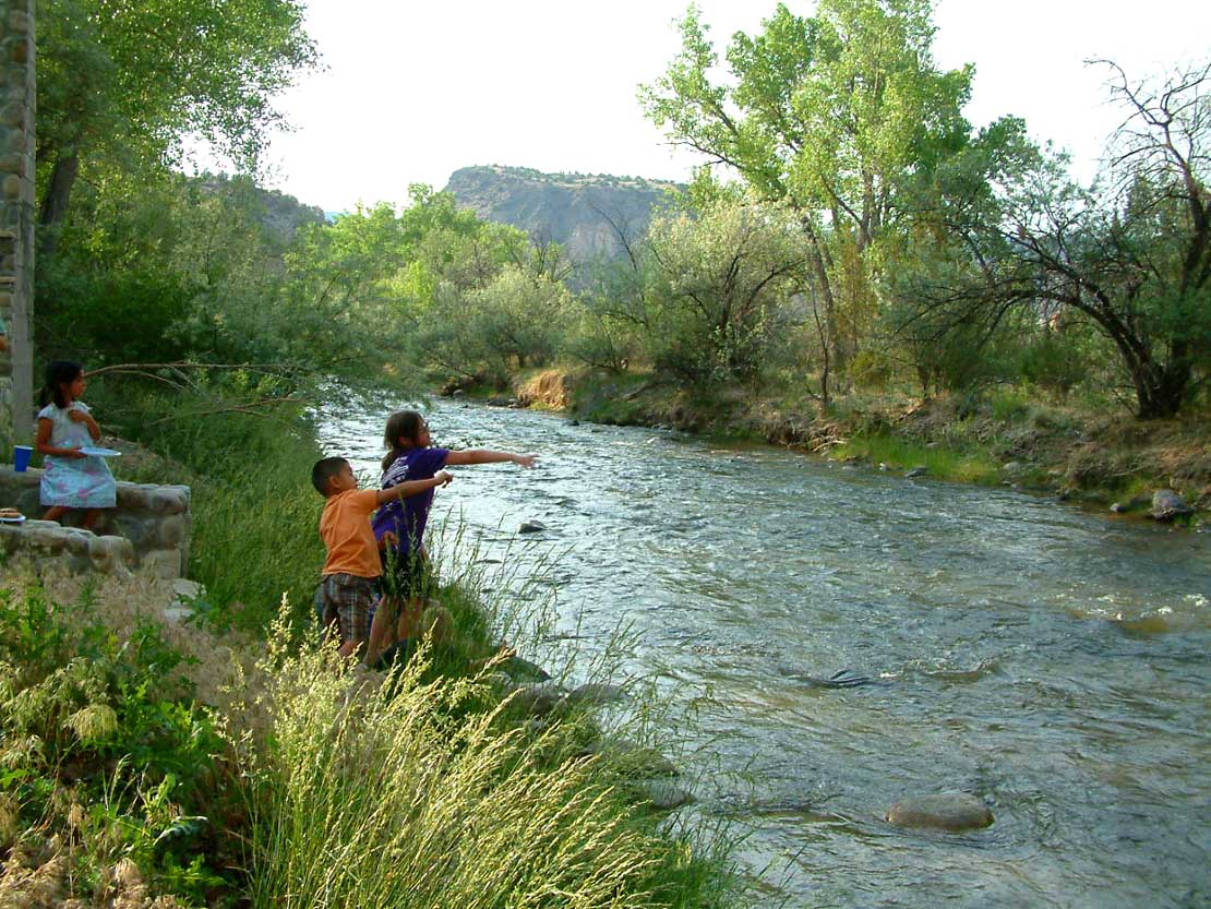
Santa Cruz River
 Photo: Dicklyon, CC BY-SA 4.0 (via Wikimedia Commons)
- 9.2 mi
- distance
- 6,488 ft
- high point
- Apr–May, Sep–Oct
- best months
The Santa Cruz River is a paddling route in northern New Mexico, running through Bureau of Land Management land within the Taos Field Office. The nearest town is Espanola, about 4 miles away. Spring and fall are the most comfortable times to paddle. Typical averages from a nearby weather station in Espanola show May highs around 78°F and October highs around 70°F, while July highs reach about 91°F and January lows drop to about 16°F. Several hiking trails lie within a few miles, including the North Arroyo Loop at about 3.5 miles, the West Ridge Trail at about 3.6 miles, the Main West Loop at about 4 miles and the Lake Trail at about 4.1 miles.
Local outfitters
- Kokopelli Rafting Adventures23 mi away
Not on Roamze yet. Their page has how to reach them.
- North Arroyo LoopHiking3.5 mi
- West Ridge TrailHiking3.6 mi
- Main West LoopHiking4 mi
- North LoopHiking4.1 mi
- Northeast LoopHiking4.1 mi
- Lake TrailHiking4.1 mi
- Cholla Gauntlet TrailHiking4.9 mi
- Cerro Piñon Sucker TrailHiking4.9 mi
Source: Roamze catalog (indexable pages within 10 miles, PostGIS distance)
 Embudo CreekCanoeing · ~30 min drivePhoto: Carptrash, CC BY-SA 3.0 (via Wikimedia Commons)
- County Line Boat LaunchBoat launch · ~31 min drive
 Jemez RiverCanoeing · ~1h 19m drivePhoto: Sharon Phelan Evans, CC BY-SA 3.0 (via Wikimedia Commons)
- Lone Juniper Boat TakeoutBoat launch · ~42 min drive
 Rio GuadalupeCanoeing · ~1h 20m drivePhoto: John Fowler from Placitas, NM, USA, CC BY 2.0 (via Wikimedia Commons)
- Taos Junction Bridge Boat LaunchBoat launch · ~48 min drive
- Rio Santa BarbaraCanoeing · ~36 min drive
- John Dunn Bridge Boat LaunchBoat launch · ~1h 10m drive
- Rio Ojo CalienteCanoeing · ~40 min drive
- Chavez Canyon Boating SiteBoat launch · ~1h 20m drive
Best time to visit Santa Cruz River
Best months: April–May and September–October. Best months have typical highs of 55–85 °F, lows of 30 °F or warmer (32 °F where the station doesn't record snow), at most one snowy day and no more than 12 wet days.
Jan
48° / 16°
Feb
55° / 21°
Mar
63° / 26°
Apr
70° / 33°
May
78° / 40°
Jun
89° / 49°
Jul
91° / 57°
Aug
88° / 54°
Sep
82° / 46°
Oct
70° / 34°
Nov
59° / 23°
Dec
47° / 16°
Typical high / low (°F) and days with rain or snow, 1991–2020. Measured at Espanola, NM, 3.9 mi away at 5,620 ft. The station sits about 900 ft lower than this place, so expect it a little cooler here. This station doesn't record snowfall. Source: NOAA NCEI U.S. Climate Normals 1991–2020.

