Embudo Creek
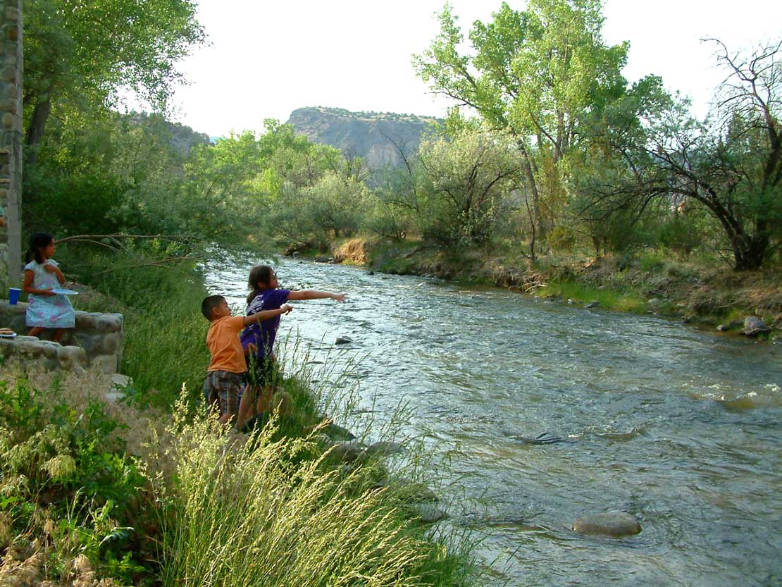 Photo: Carptrash, CC BY-SA 3.0 (via Wikimedia Commons)
- 9.0 mi
- distance
- 7,174 ft
- high point
- May–Jun, Aug–Oct
- best months
Embudo Creek is a 9-mile paddling stretch on State Trust Land near Embudo, New Mexico, managed by the State Land Board. The creek flows year-round, with typical averages from a nearby weather station in Taos showing an average flow of about 103 cubic feet per second and a gradient of about 123 feet per mile. Spring and fall are the most comfortable times to paddle. Typical averages from the Taos station put May highs around 73°F and October highs around 67°F, while July highs reach about 87°F and August brings the most wet days of the year. Other spots within about 10 miles include the Camino Real RD lake fishing area, the Rio Santa Barbara paddling route, the Petaca Point Trail hike and the Pilar Area Bouldering climbing area.
Local outfitters
- Kokopelli Rafting Adventures38 mi away
Not on Roamze yet. Their page has how to reach them.
- Camino Real RDLake fishing6.7 mi
- Petaca Point TrailHiking8.7 mi
- Rio Santa BarbaraCanoeing8.7 mi
- Pilar Area BoulderingRock climbing9 mi
- Coman Che TrailHiking9.2 mi
- Camino RealHiking9.6 mi
 Sediment TrailHikingPhoto: Marge6914, CC BY-SA 3.0 (via Wikimedia Commons)9.7 mi
Source: Roamze catalog (indexable pages within 10 miles, PostGIS distance)
 Santa Cruz RiverCanoeing · ~30 min drivePhoto: Dicklyon, CC BY-SA 4.0 (via Wikimedia Commons)
- County Line Boat LaunchBoat launch · ~7 min drive
 Red RiverCanoeing · ~1h 5m drivePhoto: Billy Hathorn at en.wikipedia, CC BY-SA 3.0 (via Wikimedia Commons)
- Lone Juniper Boat TakeoutBoat launch · ~14 min drive
- Rio Santa BarbaraCanoeing · ~15 min drive
- Taos Junction Bridge Boat LaunchBoat launch · ~19 min drive
- Rio PuebloCanoeing · ~22 min drive
- John Dunn Bridge Boat LaunchBoat launch · ~42 min drive
- Rio Grande del RanchoCanoeing · ~24 min drive
- Quartzite Boat LaunchBoat launch · ~9 min drive
Best time to visit Embudo Creek
Best months: May–June and August–October. Best months have typical highs of 55–85 °F, lows of 30 °F or warmer (32 °F where the station doesn't record snow), at most one snowy day and no more than 12 wet days.
Jan
42° / 12°
3 wet
Feb
46° / 19°
3 wet
Mar
55° / 25°
4 wet
Apr
63° / 31°
4 wet
May
73° / 37°
5 wet
Jun
84° / 47°
5 wet
Jul
87° / 53°
8 wet
Aug
84° / 51°
10 wet
Sep
78° / 45°
6 wet
Oct
67° / 32°
5 wet
Nov
53° / 22°
4 wet
Dec
42° / 14°
4 wet
Typical high / low (°F) and days with rain or snow, 1991–2020. Measured at Taos, NM, 18.5 mi away at 6,965 ft. This station doesn't record snowfall. Source: NOAA NCEI U.S. Climate Normals 1991–2020.
