Orilla Verde Campground
Campground
Campground · < 0.1 mi from the trail
Taos Junction Bridge Boat Launch is a boat launch on Bureau of Land Management land within the Taos Field Office in northern New Mexico, about 7.6 miles from the town of Ranchos de Taos. It serves as a put-in for boaters heading onto the water in this corner of the state. For comfortable weather, aim for late spring or early fall. Typical averages from a nearby weather station in Taos show May highs around 73°F and September highs around 78°F, while July and August run hotter, with highs in the mid-80s and more wet days. The launch sits close to a cluster of other outdoor spots. The Slide Trail, a mountain biking route, is about 0.4 miles away, and the Vista Verde Trail and La Gijosa Trail are each about half a mile off. Climbers can find Gold Rush Wall roughly 0.5 miles from the launch.
Orilla Verde Campground
Campground
Ranchos Plaza Grill
Restaurant
 If it rainsKhlnmusa, CC BY-SA 3.0 · Wikimedia Commons
Places © OpenStreetMap contributors · Photos: Khlnmusa, CC BY-SA 3.0 (commons)
More in Arroyo Seco La Gijosa TrailHikingPhoto: Marge6914, CC BY-SA 3.0 (via Wikimedia Commons)0.5 mi
Source: Roamze catalog (indexable pages within 10 miles, PostGIS distance)
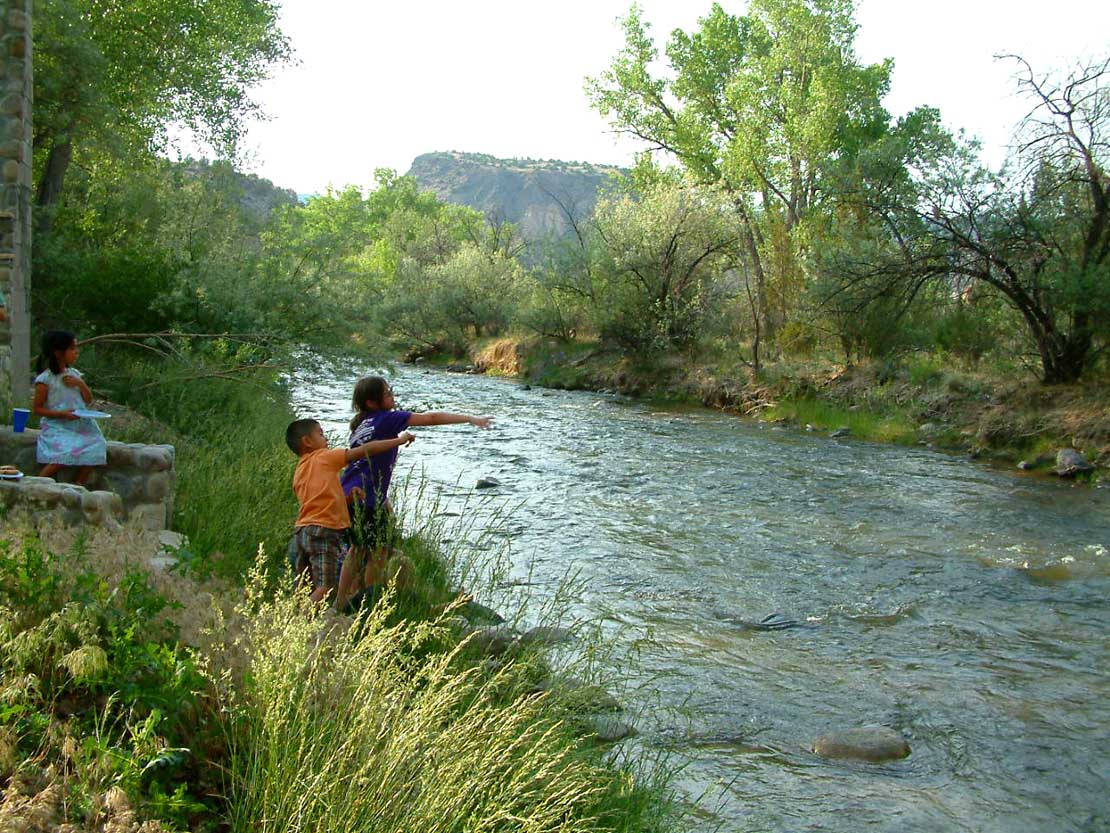 Embudo CreekCanoeing · ~19 min drivePhoto: Carptrash, CC BY-SA 3.0 (via Wikimedia Commons)
 Red RiverCanoeing · ~46 min drivePhoto: Billy Hathorn at en.wikipedia, CC BY-SA 3.0 (via Wikimedia Commons)
 Santa Cruz RiverCanoeing · ~48 min drivePhoto: Dicklyon, CC BY-SA 4.0 (via Wikimedia Commons)
 Costilla CreekCanoeing · ~1h 17m drivePhoto: Jeffrey Beall, CC BY 4.0 (via Wikimedia Commons)
Best months: May–June and August–October. Best months have typical highs of 55–85 °F, lows of 30 °F or warmer (32 °F where the station doesn't record snow), at most one snowy day and no more than 12 wet days.
Jan
42° / 12°
3 wet
Feb
46° / 19°
3 wet
Mar
55° / 25°
4 wet
Apr
63° / 31°
4 wet
May
73° / 37°
5 wet
Jun
84° / 47°
5 wet
Jul
87° / 53°
8 wet
Aug
84° / 51°
10 wet
Sep
78° / 45°
6 wet
Oct
67° / 32°
5 wet
Nov
53° / 22°
4 wet
Dec
42° / 14°
4 wet
Typical high / low (°F) and days with rain or snow, 1991–2020. Measured at Taos, NM, 9.1 mi away at 6,965 ft. The station sits about 900 ft higher than this place, so expect it a little warmer here. This station doesn't record snowfall. Source: NOAA NCEI U.S. Climate Normals 1991–2020.
Map and trail data © OpenStreetMap contributors
