Mount Powell
 Photo: Kristin, CC BY 2.0 (via Wikimedia Commons)
At a glance
Mount Powell is a summit of about 13,540 feet in Summit County, Colorado, inside the Eagles Nest Wilderness. The peak lies within the Dillon Ranger District of White River National Forest, which the Forest Service manages, and the nearest town is Heeney, about 8 miles away. The Upper Piney Lake Trail is about 2 miles away, and the Gore Mountain Range climbing area is about 3 miles off. Soda Lakes Trail and Upper Cataract Lake #63 are both within about 4 miles.
- summit
- 13,540 ft
- way up
- 1
- managed by
- Forest Service
Where it is: Eagles Nest Wilderness · Dillon Ranger District
Near: Vail
Been here? Tell people how it was.
Map © Mapbox © OpenStreetMap contributors - Lionshead9,946 ft · Colorado1 route12 mi away
- Red Peak13,184 ft · Colorado1 route12 mi away
 Buffalo Mountain12,779 ft · Colorado1 route14 mi awayPhoto: kelley.tara, CC BY 2.0 (via Wikimedia Commons)
- Shrine Mountain11,892 ft · Colorado2 routes16 mi away
 Ptarmigan Peak12,496 ft · Colorado3 routes17 mi awayPhoto: Thomson200, CC0 (via Wikimedia Commons)
 Lake Hill9,359 ft · Colorado3 routes18 mi awayPhoto: Clyde Charles Brown, CC BY-SA 4.0 (via Wikimedia Commons)
 Upper Piney Lake TrailHikingPhoto: jl_2, CC BY-SA 2.0 (via Flickr)2 mi
- Gore Mountain RangeRock climbing3.3 mi
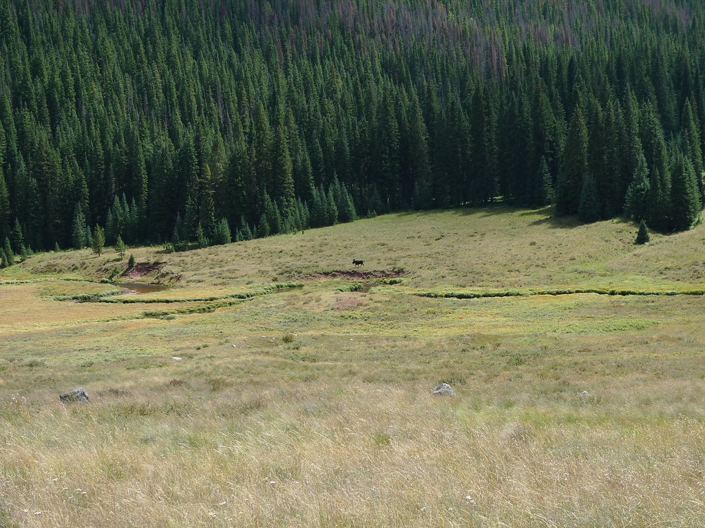 Soda Lakes TrailHikingPhoto: jl_2, CC BY-SA 2.0 (via Flickr)3.6 mi
- Upper Cataract Lake #63Lake fishing3.7 mi
- Cataract Lake (Heeney, Colorado)Rock climbing4.8 mi
- Piney Designated Dispersed SiteCamping5.1 mi
- Lower Cataract Lake Loop #57Lake fishing5.5 mi
- Cataract Creek CampgroundCamping5.7 mi
- Buffalo MountainSummitPhoto: kelley.tara, CC BY 2.0 (via Wikimedia Commons)~25 min drive
- Ptarmigan PeakSummitPhoto: Thomson200, CC0 (via Wikimedia Commons)~30 min drive
 Royal MountainSummitPhoto: Clyde Charles Brown, CC BY-SA 4.0 (via Wikimedia Commons)~31 min drive
 Tenmile PeakSummitPhoto: Hogs555, CC BY-SA 3.0 (via Wikimedia Commons)~33 min drive
 Tenderfoot MountainSummitPhoto: Runningonbrains, CC BY-SA 3.0 (via Wikimedia Commons)~34 min drive
 Notch MountainSummitPhoto: Rick Kimpel, CC BY-SA 2.0 (via Wikimedia Commons)~35 min drive
 Mount of the Holy CrossSummitPhoto: Jeremiah LaRocco, CC BY-SA 2.0 (via Wikimedia Commons)~37 min drive
 Mount JacksonSummitPhoto: Jeremiah LaRocco, CC BY-SA 2.0 (via Wikimedia Commons)~37 min drive
 Byers PeakSummitPhoto: Jeffrey Beall, CC BY 4.0 (via Wikimedia Commons)~38 min drive
 Copper MountainSummitPhoto: Jarrod Doll from United States of America, CC BY 2.0 (via Wikimedia Commons)~38 min drive
Conditions and forecast
Daily highs and lows, wind and the chance of precipitation at the summit and piney river ranch for the next 7 days, from the Open-Meteo model.
Questions about Mount Powell
How tall is Mount Powell?
13,540 ft (4,127 m).
How many routes go to the summit of Mount Powell?
One: Mount Powell.
Where do the routes up Mount Powell start?
Mount Powell starts at Piney River Ranch.
Ask about this place
Questions about Mount Powell: conditions, access, timing. Answers say when something isn't known.
