
Mountain Park Campground
Campground
0.7 mi from the trail
Mount McConnel is a summit of 8,009 feet in the Cache La Poudre Wilderness, part of the Canyon Lakes Ranger District of the Arapaho and Roosevelt National Forests in Colorado. The nearest town is Red Feather Lakes, about 11 miles away. Summer is the most comfortable time to visit. Typical averages from a nearby weather station at a similar elevation show July highs around 79°F with lows near 56°F, while winter highs stay around 40°F. The Mount McConnel Nature Trail starts about half a mile from the summit, and Mountain Park Campground and Mountain Park Group Campground are each about 0.7 miles away. Climbers can find The Beach about 1.7 miles off.
Where it is: Cache La Poudre Wilderness · Canyon Lakes Ranger District
Near: Fort Collins
Best months: May–October. Best months have typical highs of 55–85 °F, lows of 30 °F or warmer (32 °F where the station doesn't record snow), at most one snowy day and no more than 12 wet days.
Jan
40°
21°
5 wet
Feb
40°
20°
6 wet
Mar
47°
26°
8 wet
Apr
51°
30°
10 wet
May
60°
39°
12 wet
Jun
72°
49°
11 wet
Jul
79°
56°
11 wet
Aug
78°
55°
11 wet
Sep
70°
47°
8 wet
Oct
57°
36°
7 wet
Nov
47°
28°
6 wet
Dec
40°
20°
6 wet
Typical high / low (°F) and days with rain or snow, 1991–2020. Measured at Buckhorn Mtn 1 E, CO, 9.6 mi away at 7,400 ft. The station sits about 600 ft lower than this place, so expect it a little cooler here. This station doesn't record snowfall. Source: NOAA NCEI U.S. Climate Normals 1991–2020.
Been here? Tell people how it was.
| Mount McConnel Nature Trail | Wheeler Nat. Rec. Trail - Colorado | |
|---|---|---|
| Starts at | Mountain Park Trailhead | Calico Trailhead |
| Climbing | About 1,064 ft | About 4,009 ft |
| Round trip | 4.5 mi | 27.4 mi |
| Difficulty | Moderate | Hard |
| Terrain | Hike | Hike |


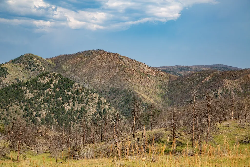 Mount McConnel Nature TrailHikingPhoto: Tony Webster — Wikimedia Commons (CC BY 2.0)0.5 miGreyrock MountainSummitPhoto: Lvaughn7, CC BY-SA 4.0 (via Wikimedia Commons)~16 min drive
 Goat HillSummitPhoto: Jeffrey Beall, CC BY-SA 4.0 (via Wikimedia Commons)~27 min driveMummy MountainSummitPhoto: Hogs555, CC BY-SA 3.0 (via Wikimedia Commons)~27 min driveHagues PeakSummitPhoto: Thomson200, CC0 (via Wikimedia Commons)~28 min drive
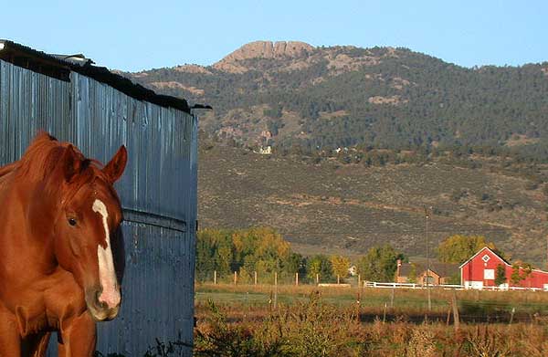 Horsetooth MountainSummitPhoto: Matthew Trump (talk) (Uploads)
Uploaded by Decumanus at en.wikipedia, CC BY-SA 3.0 (via Wikimedia Commons)~29 min drive
 Fairchild MountainSummitPhoto: Thomson200, CC0 (via Wikimedia Commons)~30 min drive
 Ypsilon MountainSummitPhoto: James St. John, CC BY 2.0 (via Wikimedia Commons)~32 min drive
 Mount ChiquitaSummitPhoto: Rationalobserver, CC BY-SA 4.0 (via Wikimedia Commons)~34 min drive
 Sundance MountainSummitPhoto: Dakota Duff, CC BY-SA 2.0 (via Wikimedia Commons)~38 min drive
 Iron MountainSummitPhoto: Thomson200, CC0 (via Wikimedia Commons)~40 min drive
Daily highs and lows, wind and the chance of precipitation at the summit and route start for the next 7 days, from the Open-Meteo model.
8,009 ft (2,441 m).
2: Mount McConnel Nature Trail and Wheeler Nat. Rec. Trail - Colorado.
Mount McConnel Nature Trail, about 4.5 mi.
Mount McConnel Nature Trail starts at Mountain Park Trailhead (about 6,935 ft). Wheeler Nat. Rec. Trail - Colorado starts at Calico Trailhead (about 12,347 ft).
Questions about Mount McConnel: conditions, access, timing. Answers say when something isn't known.
Mountain Park Campground
Campground
Mishawaka Ampetheatre
Restaurant
Homestead Museum
Museum
Places © OpenStreetMap contributors
More in Red Feather Lakes